
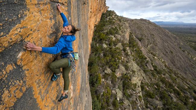
Parks Victoria begged climbers for route maps in rocky start for Grampians ban
Parks Victoria was still trying to locate all rock climbing sites in the Grampians even though the sport had been banned days before across a wide area of the national park.
News
Don't miss out on the headlines from News . Followed categories will be added to My News.
Bureaucrats were still desperately hunting for the location of all rock climbing sites in the Grampians days after banning the sport across a wide expanse of the Victorian national park.
Despite secretly plotting since 2017 to evict or restrict climbers in the sport’s Australian heartland, the government was still questioning where all the climbing was actually occurring, emails have now revealed.
Parks Victoria asked climbers on March 4 for maps of sites to help determine how they fitted within eight new special protection areas that have gutted climbing in the park.
The request for maps was made several days after Parks Victoria had first published where climbing was being banned until a new Grampians management plan is finished late next year.
The government is also still determining where the most sensitive Aboriginal cultural heritage sites are, despite banning climbing in the areas, about 260km west of Melbourne.
The newly-formed Australian Climbing Association Victoria obtained the emails under Freedom of Information.
They also show that an agency in Premier Daniel Andrews’ own department was actively involved in the banning process.
On March 4, Parks Victoria manager Lucy Marshall wrote to the Victorian Climbing Club to seek help for the government’s mapping team.
She told the VCC’s Tracey Skinner that “to inform future conversations, it would be most useful if you have any mapping information regarding climbing sites you are able to provide us”.
This was after Parks Victoria maps were published in late February showing the banned areas but not pointing out the affected routes.
On February 28, the VCC had complained to Parks Victoria that it had been blindsided by the announcement of the extent of the bans.
The VCC had itself sought maps from Parks Victoria detailing where the eight protection zones were to enable it to tell its members what routes may be affected.
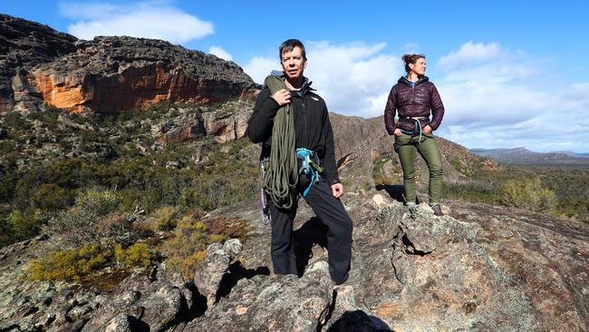
Ms Skinner told Ms Marshall that members were “asking all the questions we knew they would with no helpful answers from us”.
“All people can see is that (the) majority of all climbing in the Grampians is now prohibited,” Ms Skinner wrote.
Parks Victoria and Aboriginal Victoria have accused climbers of desecrating important sites by using bolts to support their climbing, damaging indigenous artwork, trampling on vegetation and lighting inappropriate fires.
MORE:
JUST BECAUSE YOU STILL CAN CLIMB ULURU DOESN’T MEAN YOU SHOULD
‘HAVEN’T WE LEARNT THE LESSON OF O-BIKES?’
NEW INITIATIVE TO TRACK RACISM HOT SPOTS
Parks Victoria said that, in partnership with traditional owner groups, it was preparing a new management plan for the Grampians. The plan will provide “longer-term direction on matters such as recreational activities”.
Australian Climbing Association Victoria spokesman Mike Tomkins said the government’s “investigation’’ of climbing sites had been limited to social media and the online climbing site The Crag.
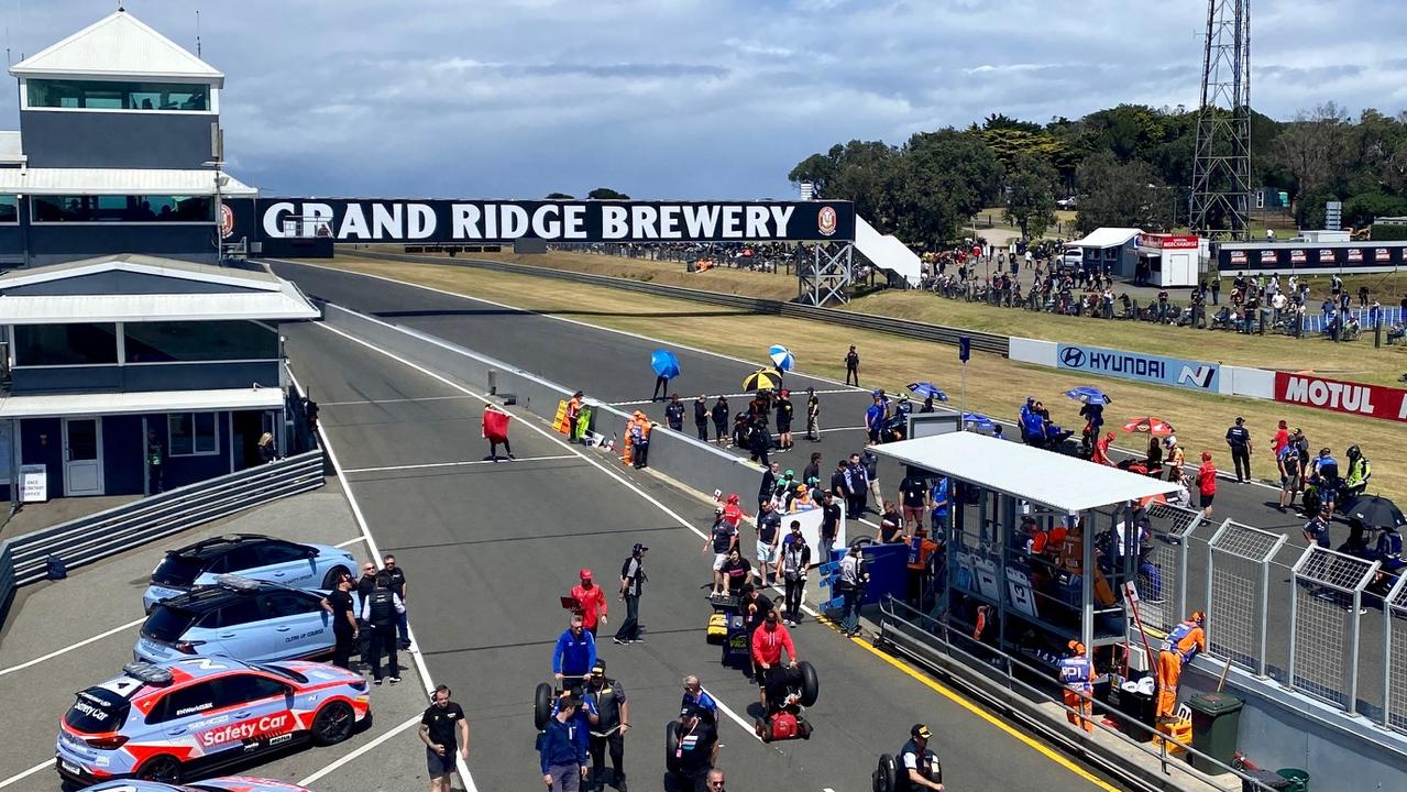
Brewery puts name on global sporting stage
It’s the little brewery that could. A South Gippsland craft brewer is putting its name on a motorsport event with a global audience of more than 100 million people.
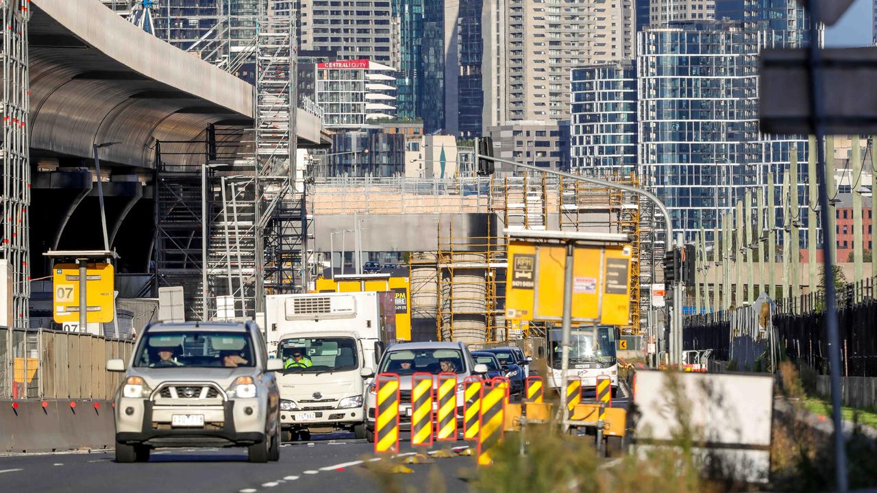
West Gate Tunnel build set to close key Docklands route
Brace for more traffic pain linked to the West Gate Tunnel project with a key route in the Docklands set to close.