Forecaster pinpoints arrival of Far North wet season ‘watch point’
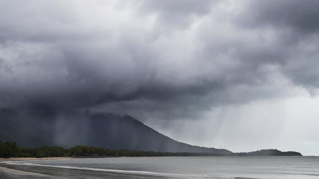
Gardeners will have to endure crunchy lawn under foot for a while longer as the national forecaster predicts the arrival of a weather phenomenon linked to tropical rain and cyclone activity.

Cairns
Don't miss out on the headlines from Cairns. Followed categories will be added to My News.
Gardeners will have to endure crunchy lawn under foot for a while longer before the first monsoonal downpour of the season, as the national forecaster predicts the arrival of a weather phenomenon linked to tropical rain and cyclone activity.
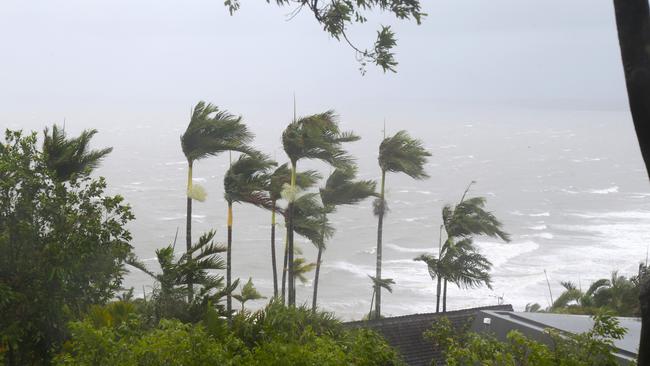
The Bureau of Meteorology says there will be fewer tropical cyclones in north Australian waters however those that do form are expected to be more powerful and bring increased rainfall.
Last year there were eight tropical cyclones across northern Australia waters including a rare out-of-season October system and the infamous Cyclone Jasper that brought an unprecedented 600-900mm to parts of the Far North between December 13 and 19.

This was despite a 2023-24 El Nino event that usually means a reduction in cyclone activity.
Bureau meteorologist Shane Kennedy said following the end to the El Nino in April Australia was now in a neutral ENSO cycle which is expected to continue into the New Year.
According to the Bureau an average number of four tropical cyclones are expected to impact Queensland but the likelihood of severe or strong tropical cyclones is higher than average due to warmer than average ocean temperatures.
“We are likely to see more tropical cyclones than normal,” he said.
And as mid December approaches Mr Kennedy said all eyes will be trained on the heavens.
“Often we see the arrival of the monsoon at a particular phase of the Madden-Julian Oscillation,” he said.

“(The phenomenon) will be coming back to Australia from mid December and staying until late December, that will certainly be a watch point.
“They can really help trigger that tropical weather we are likely to see during the second half of December.
“The first monsoon downpour is looking to be in mid to late December (and) we could see a tropical cyclone in (that period.)”
Though parts of the Cassowary Coast got triple digit falls on Thursday Cairns has so far missed out on a decent deluge.
With just 31.4mm falling at the Cairns airport in October and 2mm so far this month is significantly less than the mean November rainfall of 88.7mm.
In the 24 hours to 9am on Friday South Mission Beach got 198mm, Tully sugar mill received 132mm, while 54mm collected in the gauge at Atherton.
Copperlode Dam got 17mm and Mulgrave Mill recorded 10mm.
Rainfall on Saturday morning falling overnight measured 5.8mm at the Cairns Airport and again moderate falls of up to 100mm fell around Innisfail and Tully.
Light falls for Cairns less than 10mm are expected at the weekend and nuance showers into next week are forecast ahead of a wet season proper onset next month.
According to the Bureau’s 2024 State of the Climate report in the future there will be fewer tropical cyclones, but when they occur they will have a higher intensity and will bring greater impacts through higher rain rates and higher sea level.
“We have seen a general decline in tropical cyclones, we generally see eight per year in the past couple of decades and due to warmer oceans and more energy we will see more severe cyclones as the air can hold more water,” Mr Kennedy said.
“Certainly in the last year we had record ocean temperatures, the last year was the second hottest on record.
“It really primes the atmosphere to get more rainfall.”
More Coverage
Originally published as Forecaster pinpoints arrival of Far North wet season ‘watch point’


