Bureau predicts splattering of showers and storm activity in coming days
Storms are on the way for Far North Queensland as a south-easterly surge makes its way up the coast.

Cairns
Don't miss out on the headlines from Cairns. Followed categories will be added to My News.
Storms and showers are on the way for Far North Queensland.
Bureau of Meteorology community information officer Daniel Hayes said residents could expect a splattering of showers, peaking Friday afternoon before trailing into the weekend.
“What we’re looking at now is a south-easterly surge that’s pushing up the coast,” Mr Hayes said.
“So that’s expected to move through the North Tropical Coast area (Friday) in particular, and so that’s what’s likely to bring a bit of an increase in our chance of shower and even possibly some storm activity.
“(Friday) we’re likely to see some showers around the east and some of those could be a bit heavier, maybe there’ll be a storm mixed in there here or there, so we could see falls up to the 20-30 millimetre range,” he said.
Residents in Innisfail will feel the brunt of the system first after the Bureau issued a severe thunderstorm warning in the area on Thursday afternoon.
Though residents can expect a wetter than usual Friday, the weekend is looking mild with a slight reprieve in temperature.
“It will have some impact for us, it’ll probably bump our humidity up a little bit,” Mr Hayes said.
“We have been running 32s to 34s really for most of this week, so we’ll probably notice that near 30 tomorrow, and then it’ll sit around 31 through the weekend to the next week.”

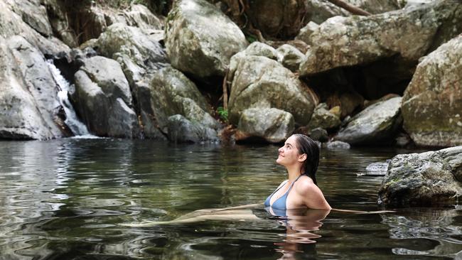
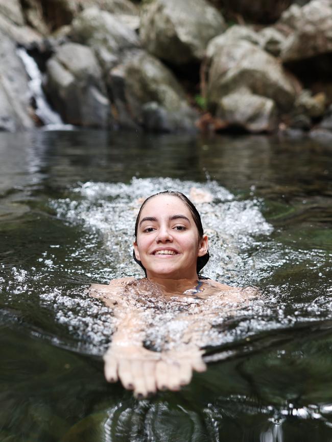
Charly Chautard from Cairns has been dodging the hot and dry conditions by soaking up the waterfalls at Stony Creek.
“I wish it would cool down, because I don’t like the hot weather,” Ms Chautard.
“I’d like a storm. It’ll be nice to cool it down a little bit.”
Mr Hayes said the region had been fortunate in avoiding recent heat waves, but the cooler conditions meant lower than usual rainfall.
“For the most part, we’ve been on the eastern side of the troughs,” Mr Hayes said.
“So we haven’t had those really hot, dry air masses move into our area, so that’s helped us not get to those extremes.
“But of course, in that position, we haven’t had the trough close enough to us to bring us much in the way of any precipitation so we haven’t been getting those sort of daily showers that we’ll be starting to look for around about this time of year.”
For anyone else trying to beat the heat and humidity in the coming days Ms Chautard had a few words of advice.
“Crystal Cascades, Stony Creek, they’re pretty close, and they’re really good, so I’d recommend them,” Ms Chautard said.
“And there’s no crocodiles either, which is always a plus.”
Originally published as Bureau predicts splattering of showers and storm activity in coming days


