Bureau predicting heavy rainfall to end heatwave warning for FNQ
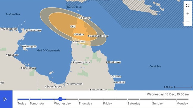
The Bureau of Meteorology says a tropical low will form off the western side of Cape York, bringing with it a reprieve from a low-intensity heatwave.
Cairns
Don't miss out on the headlines from Cairns. Followed categories will be added to My News.
The Bureau of Meteorology says a tropical low will form off the western side of Cape York, bringing with it a reprieve from a low-intensity heatwave.
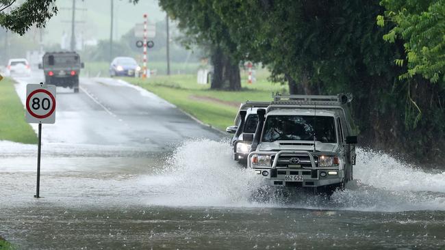
Bureau senior forecaster Felim Hanniffy said the tropical low was expected to form as early as Wednesday afternoon, and is predicted to cool things down, bringing heavy rainfall on Thursday and Friday.
“We are expecting a tropical low to from later today or tomorrow where it will move southward... and eventually off the north tropical coast on the second half of Friday,” Mr Hanniffy said.
“We are expecting a brief burst of very wet conditions for a time, probably peaking overnight into Friday and then a gradual easing trend as that low pulls away from the coast over the weekend,” Mr Hanniffy said.
“For Cairns, certainly some falls of 50 to 100mm wouldn’t be out of the question, and some falls well in excess of that.”
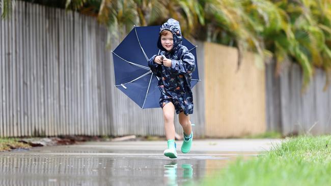
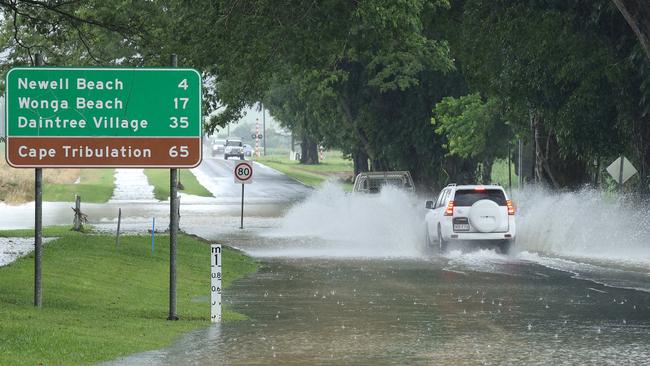
Mr Hanniffy said despite heavy rainfall, the low was unlikely to form into a cyclone, but warned full catchments may pose a flooding risk.
“The real watch point really is the fact that catchments are wet, so there isn’t much wriggle room for any extra rainfall, so that means risk of flash flooding and riverine flooding with the increase in rainfall.”
News of the tropical low’s expected formation comes after emergency services earlier in the week issued a heatwave warning for the Far North, as temperatures soared across the region.
Queensland Ambulance Service manager of clinical education Far North region Scott Cooper urged residents to stay cool and keep hydrated this holiday season.
“Most people are saying that it’s always hot in Cairns and I guess to some degree it is, but it is always a little different when we have these heatwaves when the temp gets even 2 or 3 degrees above normal, that’s when we do see a significant increase in the stress on the body,” Mr Cooper said.
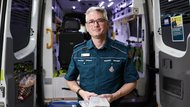
“We sort of ask people to be more careful with their usual activities and routines and also just to keep an eye on vulnerable members of the community.”
Mr Cooper said those particularly at risk of heat stress or heat stroke were the elderly, people with pre-existing illness, the homeless, pregnant women or young children.
“So just look after your community, if you know someone elderly, someone who’s unwell, pregnant or young children look after those guys,” he said.
With temperatures consistent around 35 degrees, Mr Cooper said the best way to stay cool was to stay in the airconditioning and keep hydrated.
“Try and avoid the usual things you do outside such as go out and exercise between about 10am and realistically 4pm,” he said.
“There’s the obvious things like keep the airconditioning on, but I appreciate the cost of living can sometimes put people off, so even just having the fans on, or going to shopping centres for a few hours in the day just to cool yourself there.”
In addition to drinking water, Mr Cooper said taking electrolyte supplements or drinking a glass of milk were good alternatives to staying hydrated.
”With the humidity being so high, the issue is we can’t lose our body heat through the normal processes such as sweating, so it’s an extra burden on the body and you can overheat very quickly.”
Mr Cooper also urged people not to leave children or pets in cars.
“Even in fairly cool weather, inside the car can heat up very rapidly, so it’s absolutely imperative to not leave children in cars, or dogs in cars for any period of time at all,” he said.
“Even a minute can lead to severe increase in temperature and be potentially fatal for young children, so the message as always, is check in the back seat.”
News that the tropical low will most likely not form into a cyclone will come as a relief to many coming to terms with the one-year anniversary of ex-Tropical Cyclone Jasper, which dumped extensive rainfall across catchments in Far North Queensland, causing massive flooding along the Barron River and Cairns’ northern beaches.
In October, the Bureau said Queenslanders should brace for above-average rainfall, severe tropical cyclones, and sweltering temperatures this summer.
November-to-January rainfall for northern Queensland was likely (at least 60 per cent chance) to be above average in most areas but within the typical range in some coastal areas around Townsville and Mackay.
Parts of The Cape York Peninsula can expect an increased chance of unusually wet conditions.
While the Bureau has predicted an average tropical cyclone season – 11 tropical cyclones in the Australia region, and four making landfall – more severe cyclones are predicted.
National community information manager Andrea Peace said the Bureau issued regular forecasts and warnings about the likely severity and impacts of severe weather.
“Tropical cyclone activity varies from year to year but (there is) an average of four tropical cyclones cross Australia’s coast each year,” she said.
“Based on historical patterns alone, a near-average number of tropical cyclones in the Australian region could be expected this season, with a higher proportion likely to be more severe.
“Any tropical cyclone can be dangerous, and it only takes one to significantly impact communities. Last year we had eight tropical cyclones across northern Australian waters. Four crossed our coast bringing damaging winds and heavy rainfall leading to flooding.”
BoM senior meteorologist Felim Hanniffy said above average sea temperatures would increase the intensity of cyclones.
More Coverage
Originally published as Bureau predicting heavy rainfall to end heatwave warning for FNQ


