
Weather: Bureau of Meteorology forecast for NT and WA
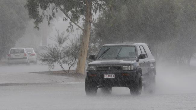
Residents living along the Northern Territory and WA border and further inland have been warned to brace for severe weather, with the Bureau predicting up to 150mm on Monday.

News
Don't miss out on the headlines from News. Followed categories will be added to My News.
Residents living along the Northern Territory and Western Australia border and further inland have been warned to brace for severe weather, with the Bureau of Meteorology predicting storms and flooding in coming days.
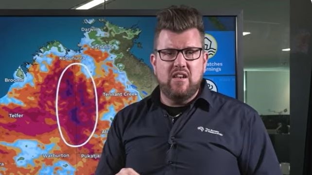
The Bureau’s senior meteorologist Dean Narramore said rain and thunderstorms could bring flash and riverine flood concerns through parts of the Northern Territory and Western Australia, with falls of up to 150mm forecast.
“We have flood watches current for large parts of WA and western parts of the Northern Territory,” Mr Narramore said.
“If you live in this highlighted area, or know someone that does, we could see heavy rainfall lead to flash flooding and possible riverine flooding in these areas.”
Catchments expected to be impacted in the NT include Sturt Creek District, Tanami and Western Desert, with moderate to heavy falls possible about the Tanami and surrounding regions from Sunday evening and widespread falls up to 80-120mm on Monday.
The Bureau warned isolated daily falls in excess of 150mm on Monday and 70mm on Tuesday were possible.
Describing the situation as ‘unusual’ for this time of year, Mr Narramore said satellite imagery showed a big band of cloud streaming across WA and the NT.
“That’s thanks to an upper trough combining with moist, tropical air across the north to bring widespread cloud and rain activity,” he said.
“While these falls aren’t unusual in the wet season, they are pretty unusual for this time of year.”
He also noted Adelaide River recorded around 70mm of rainfall Sunday morning, with falls ranging from 30-50mm elsewhere.
He said widespread rain and storm activity would start to creep into western parts of the NT through Monday morning.
“Some of these storms could be severe on Monday with heavy rainfall and damaging winds.
“As we move into Monday night and Tuesday, we’re continuing to see rain and storm spreading across WA and the NT and also down through parts of SA.
“The focus will really be through central and northern parts of the country.
“Of most concern is along the NT/WA border where you can see those broader numbers in that 50-150mm range and that could lead to some possible major impacts there. We could have a fair bit of standing water as well.”
Mr Narramore said many of the roads in the areas likely to be impacted were dirt, and urged travellers to take extra care.
“This rainfall could lead to flooded and muddy roads, making roads impassable, leading to road closures and possible isolation of residents and communities in this area and travel problems as well if you are moving through this area,” he said.
Originally published as Weather: Bureau of Meteorology forecast for NT and WA
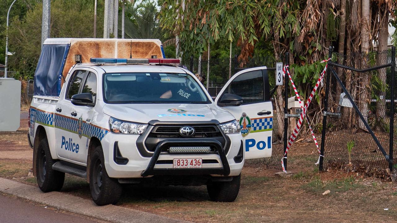
Uncle arrested in alleged domestic violence killing
The Top End community is reeling from the second suspected domestic homicide in just a week, as the major crime unit continues to investigate an alleged stabbing in a Malak backyard.
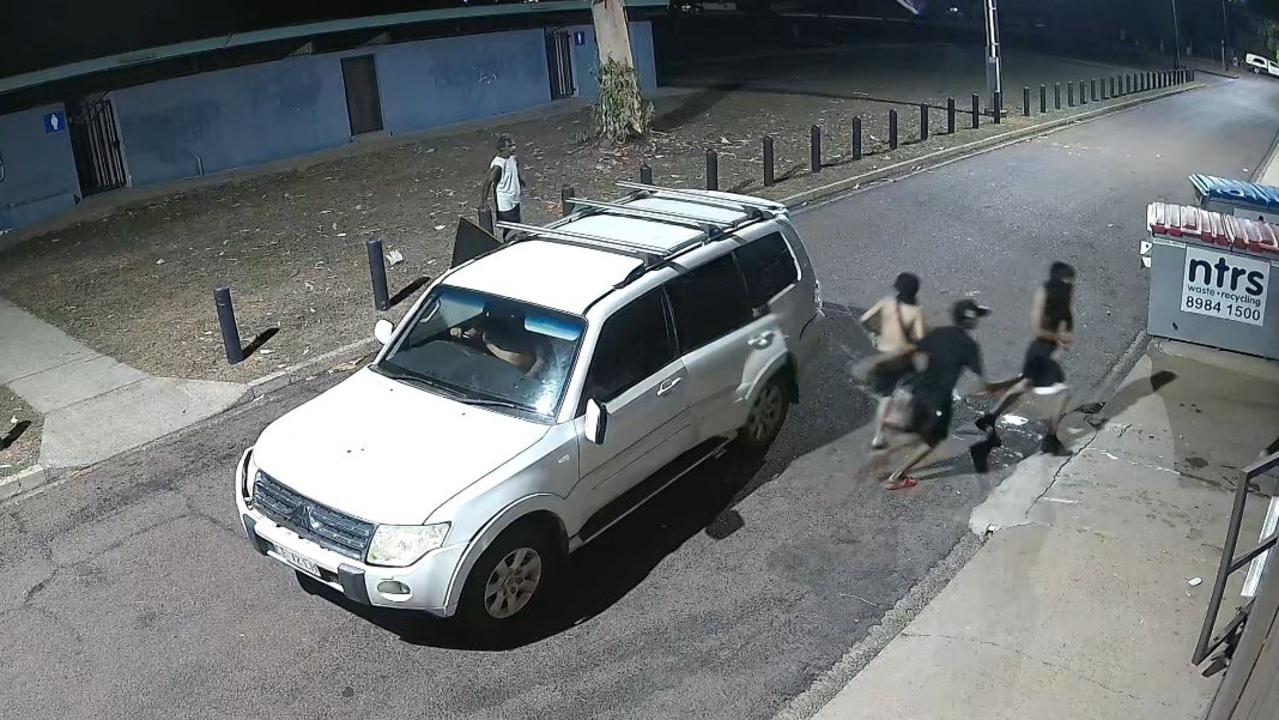
Crims could get up to 10 years jail for new NT ram raid offence
A Darwin supermarket has welcomed new laws after the store was allegedly targeted in a ram raid, which caused thousands of dollars worth of damage. WATCH THE VIDEO.