Brisbane weather: Hot and sunny week to follow deluge
A woman is “lucky” to have survived flash flooding in Thornlands on Monday night, after heavy rainfall across the southeast.
QLD News
Don't miss out on the headlines from QLD News. Followed categories will be added to My News.
Cleanup is underway across the southeast after an inland trough triggered heavy rainfall, dumping a whopping 191mm in parts, leading to flash flooding.
Redlands received a whopping 191mm of rain in the past 24 hours, with 95mm falling in just one hour.
SCROLL DOWN TO SEE THE RAINFALL TOTALS FOR THE PAST 24HRS
The SES received 170 calls for help across the southeast for leaking roofs, fallen trees and sandbagging, with the majority of calls from the Redlands and Gold Coast local government areas.
Queensland Fire and Emergency Services responded to 15 swift water rescues in the southeast overnight, including multiple instances of people sitting on roofs of cars trapped in floodwater.

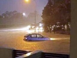
A woman was rescued sitting on top of her vehicle stranded in floodwaters on Springacre Rd in Thornlands about 7.30pm while two people were rescued from a car trapped in fast-rising flood water in Sheldon just before 7pm.
Property owner Tony Duncan watched on as emergency services rescued the middle-aged woman from the roof of her car at Thornlands, as floodwaters passed higher than the guardrail.
“She was just hysterical, that car was floating,” Mr Duncan said.
“It was caught on the guardrail so that’s what saved her really otherwise she would’ve ended up [downstream].
“Lucky she stayed with the car because if she had jumped off I wouldn’t have liked her chances.”

Mr Duncan said the area hadn’t received rains of a similar intensity to last night since 2011.
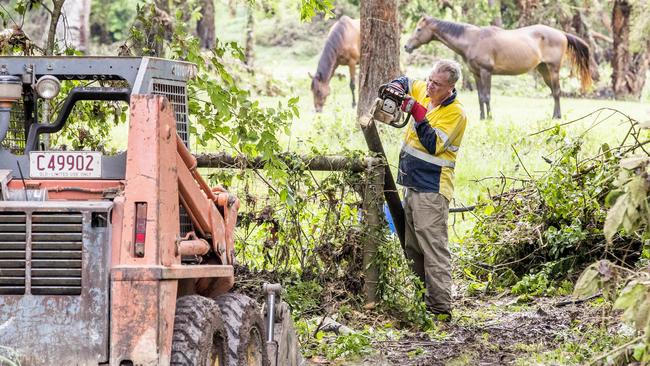
This morning he was repairing a fence that had been knocked down in the water and searching for a tinnie that went missing from his overflowing dam.
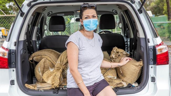
Residents in the region are preparing for a possible second drenching later today, with the Cleveland sandbag collection point having loaded up 30 cars by 9.30am this morning.
Megan Springall picked up a carload of sandbags from the South St precinct after water went up about half a metre in her sister’s home last night.
“She got hit really bad... there’s nothing she could do,” she said.

Swift water rescue crews also responded to three car-in-floodwater rescues in Pimpama, a rescue of an elderly man in Willowvale and one in Birkdale.
No serious injuries were reported from any rescues.

Meteorologist Rosa Hoff said a trough moving from western Queensland towards the region was expected to deliver another drenching on Tuesday, bringing the possibility of storms.
“We are expecting rainfall amounts to be below 20mm, but we do have the possibility of seeing some severe storm development in the region which could bring higher totals,” she said.
“We do continue to have the possibility of some severe storm development in the area, so we could see rainfall totals of the same magnitude again today, with the chance of even seeing some isolated higher totals in there as well.”

Despite the expectation of those thunderstorms to hit the region again today, the Bureau of Meteorology predicts a mostly hot and sunny week, with maximums expected to hit 31C on Saturday.
Meanwhile in North Queensland, Cyclone Kimi has weakened into a tropical low off the coast.
Initially described by a BOM spokeswoman as very dangerous, yesterday’s storms in the southeast dumped about 120mm of rain at Alexandra Hills, southeast of Brisbane, in an hour.
Meanwhile, 105mm was recorded in the same time frame at Stewart Rd, just south of Beenleigh.
Mt Cotton, Norwell, Kerkin Road and Carney’s Creek near the NSW border all received 100mm or more.
Heavy rain belting Mt Coot-Tha at the moment as storms hit most of South East Queensland this evening. #bnestorm @10NewsFirstQLD pic.twitter.com/A2UCTnWcVz
— Scotty McDonald (@Scotty_McDonald) January 18, 2021
Energex also recorded more than 33,8000 lightning strikes by 6pm yesterday, but a spokesman said it was “very underwhelming” when compared with Saturday’s massive storm, which saw more than 115,000 strikes lash the region.
While the deluge is expected to continue across the southeast into this morning, the rest of the week is set to be sunny and clear.
There will be only slight chances of showers around the Sunshine Coast.
Brisbane is set to hit a maximum of 31C on Saturday, with a slight chance of scattered showers today and tomorrow, and potential winds to hit up to 35km/h today and tomorrow afternoon.
The same should be expected across the Gold Coast, with up to 15mm of rain expected to fall across the coast and NSW border throughout the morning before drying up and hitting a maximum of 29C on Saturday.
The area from Maroochydore to Hervey Bay is forecast to have a slighter damper week, with a high chance of prolonged showers and potential thunderstorms to continue from today through to late tomorrow afternoon before clearing up.
RAINFALL TOTALS SINCE 9AM MONDAY
Redlands 191mm
North Stradbroke Island 137mm
Elimbah 109mm
Carneys Creek 108mm
Wongawallan 105mm
Bribie Island 76mm
Esk 75mm
Coomera 71mm
Binna Burra 53mm
Redbank Plains 52mm
Bowen Hills 51mm
Brisbane City 39mm
Originally published as Brisbane weather: Hot and sunny week to follow deluge


