
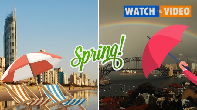
Gold Coast voters warned of severe thunderstorms on state election day
Voters heading to the polls for the state election could face super cell storms bringing “destructive wind gusts, giant hail and intense rainfall” to the Gold Coast, warns the Bureau of Meteorology.

Gold Coast
Don't miss out on the headlines from Gold Coast. Followed categories will be added to My News.
VOTERS heading to the polls for the state election could face super cell storms bringing “destructive wind gusts, giant hail and intense rainfall” to the Gold Coast, warns the Bureau of Meteorology (BOM).
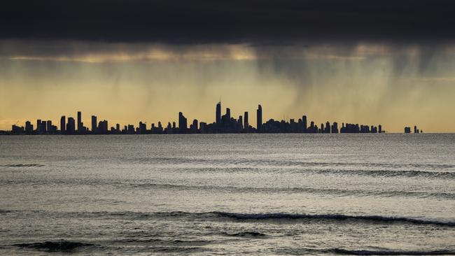
The BOM has forecast an 80 per cent chance of showers on Saturday on the Gold Coast, most likely from late morning, and thunderstorms into the afternoon.
Severe storms could lead to flash flooding.
BOM meteorologist Shane Kennedy said a “trough and cold front system” would influence weather over the weekend.
MORE NEWS
COAST SUBURBS MOST LIKELY TO BE SMASHED BY STORMS
BORDER CALL A 'DEATH BLOW' FOR GOLD COAST BUSINESSES
WHY CHO HAS SHUT SYDNEY OUT OF QUEENSLAND
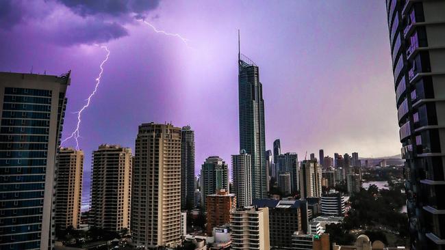
He warned “severe thunderstorms producing damaging winds, large hail and heavy rainfall” were possible across the southeast.
“There is a risk of isolated dangerous super cell thunderstorms in the southeast, which may produce destructive wind gusts, giant hail and intense rainfall,” he said.
“Thunderstorms are likely to begin forming from early afternoon and continue into the evening – so vote early if possible.
“Rainfall across the southeast is expected to be within 5-20mm, getting up to 20-40mm in thunderstorms, with isolated falls of between 60-80mm possible in super cell thunderstorms.”
Mr Kennedy said Sunday would likely bring a greatly decreased risk of severe storms.
Queensland Fire and Emergency Services (QFES) advises anyone facing severe storms should:
- Move your car under cover or away from trees.
- Secure loose outdoor items.
- Never drive, walk or ride through flood waters. If it’s flooded, forget it.
- Seek shelter, preferably indoors and never under trees.
- Avoid using the telephone during a thunderstorm.
- Beware of fallen trees and powerlines.
EARLIER: WINTER ON GOLD COAST CONTINUES WORRYING TREND
THE long-term trend of drier winters has continued on the Gold Coast.
Bureau of Meteorology meteorologist Lauren Pattie said rainfall was “a touch below the long-term average” and winter was marked by “near average temperatures”.
The average winter rainfall on the Gold Coast is about 200mm and parts of the Coast recorded only 100mm, Ms Pattie said.
While some areas were blessed with up to 250mm, the downpours were linked to storm systems and not at all widespread.
The Gold Coast Seaway recorded 227mm.
MORE NEWS
Gold Coast tourism: Destination Gold Coast launch hunt for new CEO after Annalise Battista’s exit
Premier calls Gold Coast melanoma campaigner Ashleigh Simrajh, whose message is saving lives
Coronavirus NSW: 17 new COVID cases, woman busted in midnight border sneak attempt
The coldest temperature was on July 5 when it hit 7.2 degrees at the Seaway.
The hottest temperature was on August 19 when 26.3 degrees was recorded.
“It’s been very dry,” Ms Pattie said.
“The trend of the dry winters continues, though there was a little more rain than last year.
“It was a little bit wetter, but certainly not a wet winter by any stretch.
“With the temperatures, the trend of warmer than average continued.”
Ms Pattie said there were “rain bands in the southwest” of the state, which “never really swept east” to give the Gold Coast a drenching.
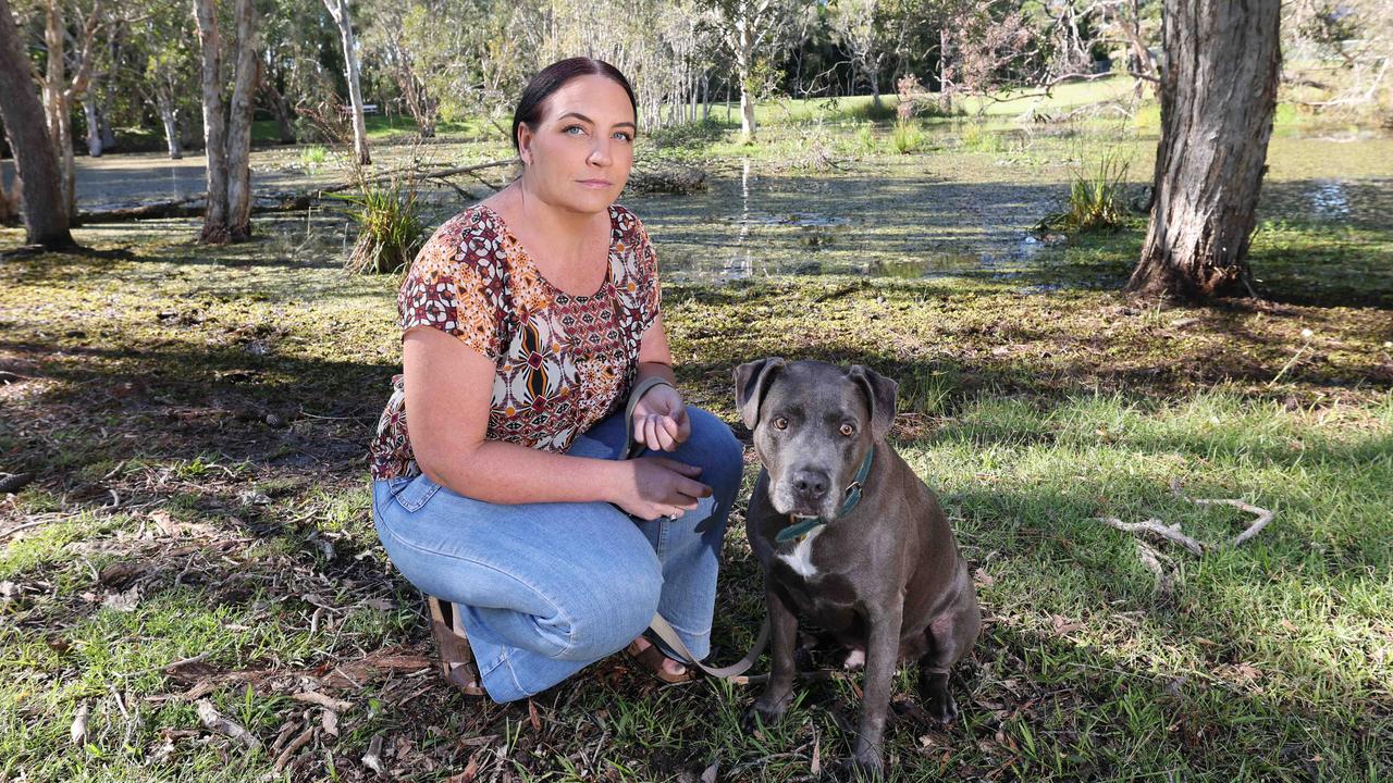
‘Blows my mind’: Dog park’s deadly pond ‘fatality’ waiting to happen
Gold Coast residents are calling on the City to fence off a dangerous body of water after a beloved rescue pup was sliced “clean open”.
Man in custody after Burleigh resort drama
A man has been taken into custody by police following reports of a “disturbance” at a Burleigh Heads resort.