
Bureau of Meteorology predicts rain could stick around for the week
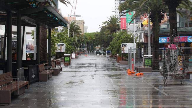
The Gold Coast is set for a soaking heading into the weekend, as the Bureau meteorology declares 2021 as the wettest year in five years. FORECAST

Weather
Don't miss out on the headlines from Weather. Followed categories will be added to My News.
The Gold Coast is set for a soaking heading into the weekend, as the Bureau meteorology declares 2021 as the wettest year in five years.
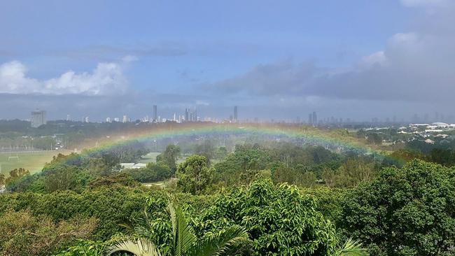
Residents are expected to see a lot more rainbows in coming days with pockets of rain across the city.
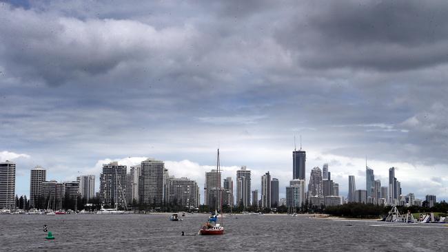
On Thursday the Bureau of Meteorology released a statement which outlined Queensland’s rainfall in 2021 was eight per cent above average.
“For the Southeast and Darling Down region it was the wettest year since 2011 and the coldest since 2012,” a statement read.
Ex-tropical Cyclone Seth wrought havoc across the Gold Coast during the first week of 2022 but metrologist Brooke Pagel said by Saturday it would be a thing of the past.
“There is a lot of uncertainty around showers on the Gold Coast on Friday,” she said.
Ms Pagel forecast there would be between 10m to 50m of rain on Friday.
“There will be little pockets of heavy rain, rather than an overall shower,” she said.
“The rain on Saturday will be easing off.”
She said the moisture from the ocean and the conditions of Ex-Tropical Cyclone Seth was the reason for the intermittent rainfall.
“You will find the tides from Ex-Tropical Cyclone Seth will ease from Friday,” Ms Pagel said.
“Although make sure you follow the directions from Surf Life Savers.”
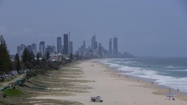
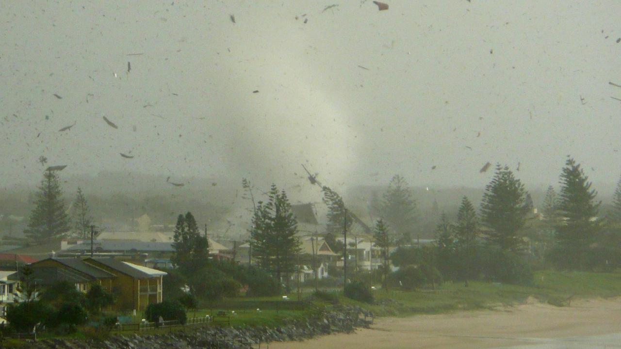
JANUARY 5: As wild waves whipped up by ex-Tropical Cyclone Seth ebbed on Wednesday, clean-up crews moved in to restore reopened beaches but BOM says there is more rain on the way.
Meteorologist Helen Reid said wind and surf conditions had eased, however the Coast would see rainfall and thunderstorms for the rest of the week.
IN PICTURES: EX-TROPICAL CYCLONE SETH CLOSES BEACHES
“We still have a warning for strong winds and abnormally high tides,” she said.
“The rainfall is what we will be seeing now as ex-Tropical Cyclone Seth travels a little bit further north and closure to the coastline.
“There is a possibility of thunderstorms throughout the week as well.”
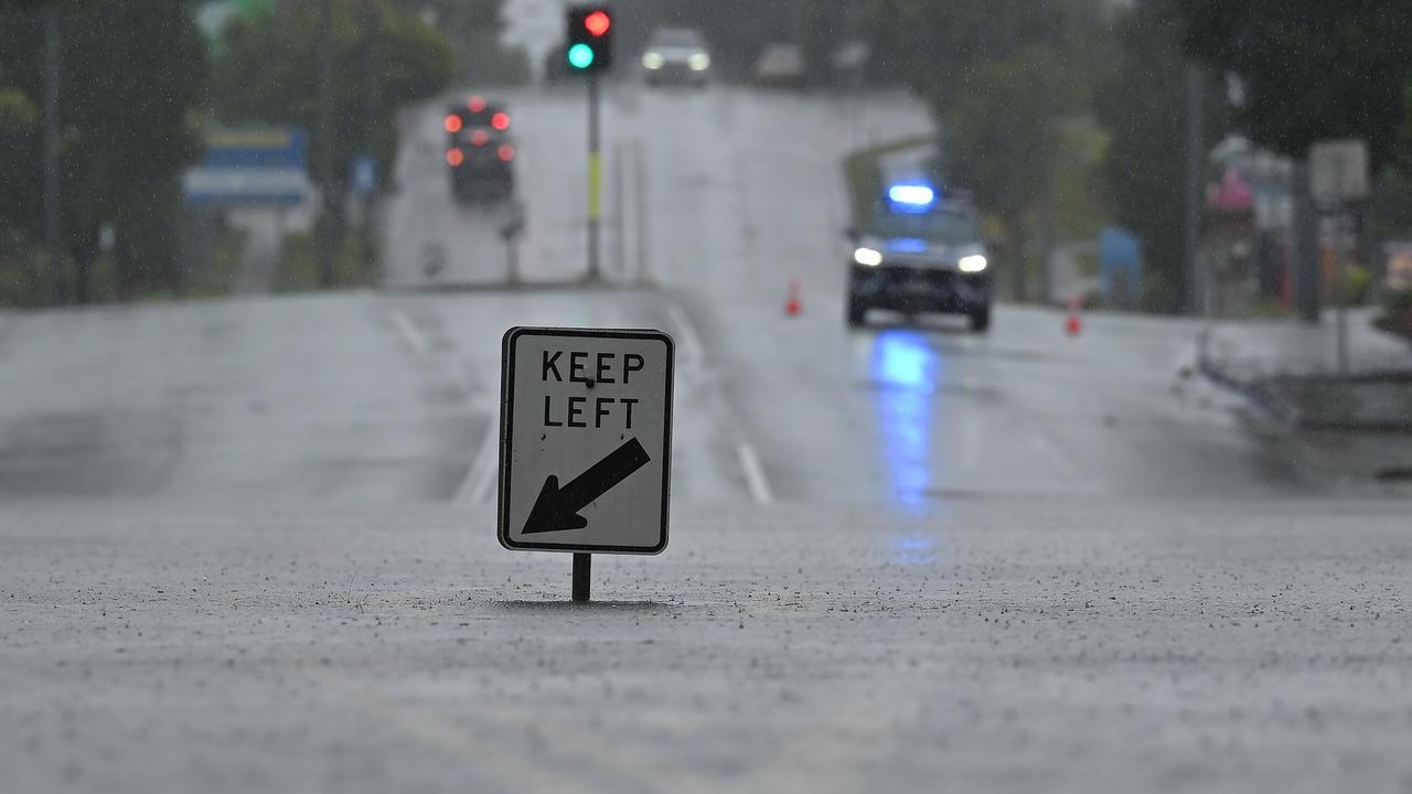
Ms Reid said while high tides were still problematic, they would lessen on Thursday and there was no apparent risk of flooding.
“People should be aware while ex-Tropical Cyclone Seth is weakening people need to stay up to date on warnings,” she said.
She tipped the weather would clear up next week with a possibility of some showers.
While holiday-makers heading back to the sand were greeted by minor scarping, Mayor Tom Tate said the coastline had withstood the conditions well.
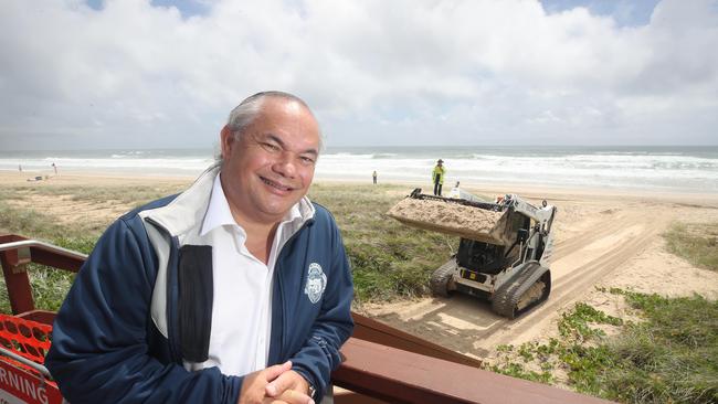
“It’s no fluke our beaches have held up well,’’ he said.
“For the past decade, we have increased our beach and foreshore preservation works to include new reefs, groyne extensions, dune planting, offshore sand dredging and creek dredging as well as the installation of an $8 million sand backpass pipe network.
“As we start to repair the scarping and minor dune inundation post ex-Tropical Cyclone Seth, I want to thank city staff and the hundreds of volunteers who work 24/7 to ensure our incredible coastline is protected and enhanced year after year.
“Without the great volunteers like those behind Our Beaches programs, our famous sand coastline may have copped it harder from this recent ocean swell.”
Gold Coast City Council opened all beaches from noon on Wednesday.
More Coverage


‘It was carnage’: Moment a tornado smashed into streets
A Gold Coast doctor spoke of the “carnage” he witnessed as a tornado touched down in a seaside enclave, smashing properties and injuring locals. SEE THE PICTURES
Flood warning issued for parts of Gold Coast
A flood warning has been issued for the Gold Coast as heavy rainfall continues to batter parts of the city.