
Revealed: the map showing roads which residents want to link with the second M1
The majority of northern Gold Coast residents want the State Government to rethink part of the Coomera Connector, according to a poll.

Gold Coast
Don't miss out on the headlines from Gold Coast. Followed categories will be added to My News.
A majority of northern Gold Coast residents want the State Government to rethink its connections of local roads to the Coomera Connector, according to a poll.
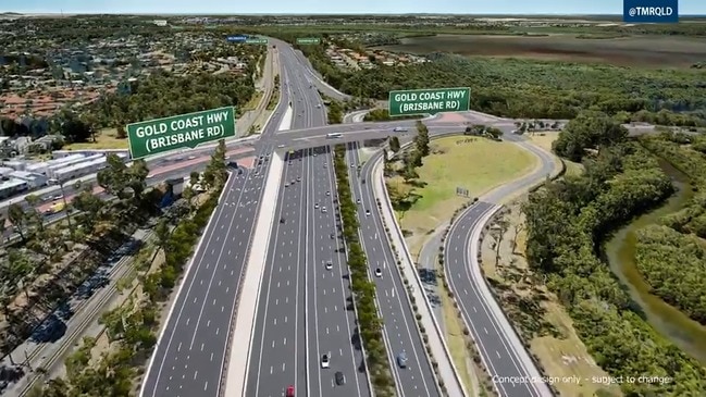
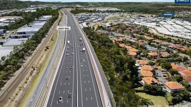
A Bulletin report at the weekend revealed the Government and the council are on a collision course on where to the best link the planned $2.4 billion six-lane highway east of the Pacific Motorway from Nerang to Stapylton.
Council officers and Main Road senior bureaucrats at a meeting on Monday were to discuss a preference for the four-lane Hope Island Road as a link rather than Helensvale Road which heads east towards the state school.
HOW COOMERA CONNECTOR WILL TRANSFORM NORTHERN GOLD COAST
The Hope Island option may require an overpass and be more expensive, but council is concerned about the impact on suburban transport links like Helensvale Road.
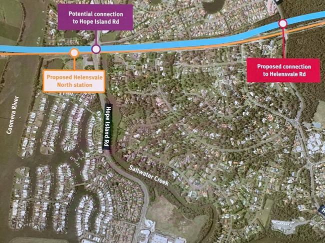
Area councillor William Owen-Jones conducted a Facebook poll in which 619 residents responded.
He also produced a map which shows the second M1 linking with the Hope Island Road near the railway corridor and planned Helensvale north rail station.
HELENSVALE RESIDENTS SLAM COOMERA CONNECTOR BUSINESS PLAN DELAY
“Of the residents polled, 72 per cent preferred the idea of the Coomera Connector being able to connect with Hope Island Road,” Cr Owen-Jones said.
As part of the State’s community consultation, the council formally wrote to the Main Roads Department seeking the following improvements to the project:
• Beattie Road connection to the regionally significant Coomera Marine Precinct.
• Hope Island-Beattie Road service road and service bridge.
• M1 overpass linking Beattie Road to Reserve Road, Coomera
• Extension of Stage 1 project from Foxwell Road through to Yawalpah Road, Pimpama.
The letter from council also asked the Government to focus on several community concerns regarding visual amenity, noise impacts along with physical, social and physiological barrier effects.
Other concerns included stormwater drainage, the potential loss of koala habitat and vegetation offsets, and the impacts on local roads and parks.
In a recent Bulletin report, Transport Minister Mark Bailey said the Coomera Connector business case was being developed this year and would be “finalised next year”.
“In my opinion, all of the options for making sure the Coomera Connector delivers good transport outcomes actually needs to be canvassed with the local community before the State finalises their business case for federal funding in 2021,” Cr Owen-Jones said.
“Hopefully, with just over a 100 days to go before the October 2020 State election one, or both, of the parties will commit to making sure this project can connect properly.”
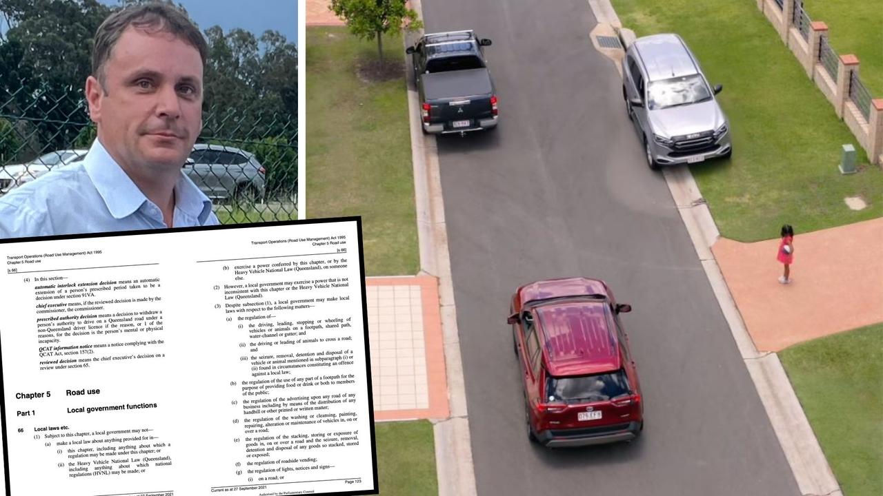
Bemused MP’s slapdown for council on parking fines
A Gold Coast MP has questioned why council is writing to the state to get parking rules relaxed – claiming legislation not only allows them to do so, but councils including Logan already take advantage. Watch the video of how Logan do it.
VOTE NOW: Best fish and chips on the Gold Coast
The Gold Coast is hooked on fish and chips, but who fries the best of all? Vote in the poll to crown the winner.