
Gold Coast weather: City to shiver through chilly weekend
The Gold Coast is rugging up on another frigid morning and similar temperatures are forecast throughout the weekend. WEATHER FORECAST >>>

Gold Coast
Don't miss out on the headlines from Gold Coast. Followed categories will be added to My News.
- Old Burleigh theatre development fast-tracked
- What you need to know about getting vaccine on Coast
- Unstoppable boom: Why Coast property prices keep on rising
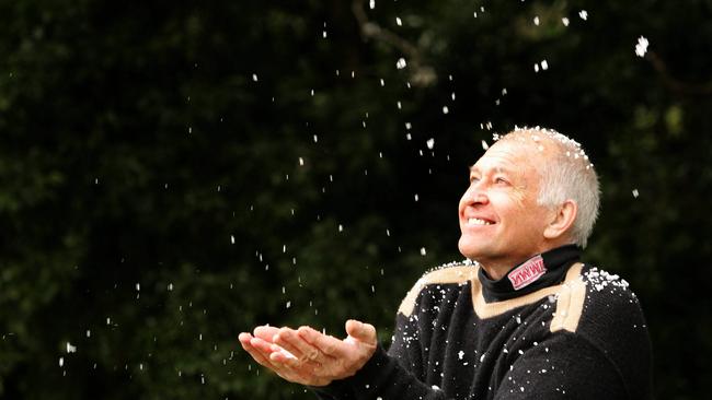
THE Gold Coast is shivering through another frigid morning and similar temperatures are forecast throughout the weekend.
At 6am, the Bureau of Meteorology (BOM) had recorded a temperature of 11C at the Gold Coast Seaway and a maximum of 20C has been predicted for the day.
The ‘feels like’ temperature was just 7.7C.
MORE NEWS
It’s slightly warmer than Thursday, however, when the Seaway temperature was 8.6C and the ‘feels like’ temperature was 3.9C.
The BOM has forecast a mostly sunny Friday with some cloud cover and light winds.

Inland at Canungra in the hinterland, the temperature was 2.6C at 6am, with a ‘feels like’ temperature of 1C, compared to 0.6C on Thursday, with a ‘feels like’ temperature of 1.3C.
Coolangatta residents have been rugging up to ward off 5.9C conditions at 6am, with a ‘feels like’ temperature of 2.8C, cooler than the 15.1C and 10.7 ‘feels like' temperature on Thursday.
Earlier this week, BOM forecaster Melody Sturm said a polar blast impacting the east coast could lead to a dusting of snow at peaks like Mt Mumjin (Springbrook Mountain) and Wollumbin (Mount Warning) in the Tweed, particularly on Thursday.
There has not been any reports of snow at elevated Coast locations, so far at least.
It’s expected the cold snap will ease from Tuesday next week.
The BOM has forecast a temperature range of 10-22C on Saturday and 11-22C on Sunday, which are expected to be sunny.
Monday is due to be partly cloudy with a temperature range of 12-22C and Tuesday is also expected to be partly cloudy, with a slight chance of a shower and a range of 13-23C.
Polar blast: Snow on Coast peaks 'very likely'
June 9: Parts of the Gold Coast and Tweed could receive a dusting of snow in coming days as a polar blast makes its way up the east coast of Australia, according to the Bureau of Meteorology.
It’s thought a decent covering of snow was last recorded in the Gold Coast hinterland in July 1984, but Springbrook did receive light snow in 2005.
Forecasts show the hinterland could shiver through temperatures as low as 4C on Thursday.
BOM forecaster Melody Sturm said a cold front which started below Tasmania was due to make its way north as the week progresses.
She said snow was “very likely in areas above 900 metres near the coast and above 800m further inland”.
Springbrook has an elevation of 524m, but Mt Mumjin (Springbrook Mountain) reaches 1020m above sea level. Wollumbin (Mount Warning) just over the Queensland-New South Wales border in the Tweed reaches more than 1150m.
Ms Sturm said the weather would continue to cool through Wednesday and “inland areas will definitely take the brunt of this low pressure system.”
She said Thursday was expected to “be the coolest” and Ms Sturm added “we may get rain which will become snow above 900m”.
The BOM has stated “20 million Australians are set to shiver” across the country.
On Wednesday, the BOM forecast a maximum temperature on the Gold Coast of 19C - three degrees less than Tuesday’s maximum. Showers were due to clear throughout the day before a mostly sunny afternoon.

Temperatures were forecast to drop to a minimum temperature of 7C on Thursday, with a maximum of 18C.
It’s forecast Friday through to Sunday will be a little more bearable, with minimum temperatures of 9C and maximums of 19C on Friday and 21C on Saturday-Sunday.
However, localised forecasts for Springbrook show minimum temperatures in the hinterland could drop to as low as 4C on Thursday and slightly warmer on subsequent days.
It’s expected the cold snap will ease from Tuesday next week.

I went viral – this is what it was really like
I went viral(ish) on TikTok. I posted the video, went to bed and this is the disturbing reality that awaited me.

Gold Coast gymnastics community welcomes talks for world-class venue
The Gold Coast gymnastics community say they welcome progress on talks with Mayor Tom Tate for a world-class gymnastics venue on the Gold Coast.