
Gold Coast weather: Bureau of Meteorology forecasts more rain and storms after huge downpours cause flooding across city
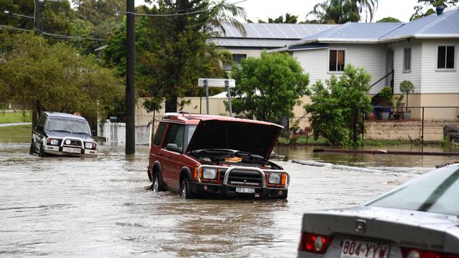
The Gold Coast could face storms and more rain on the back of torrential downpours which caused dangerous flooding across the city, but had little impact on dams levels.
Gold Coast
Don't miss out on the headlines from Gold Coast. Followed categories will be added to My News.
THE Gold Coast could face storms and more rain on the back of torrential downpours which caused dangerous flooding across the city, but had little impact on dams levels.
Bureau of Meteorology (BOM) Queensland forecaster Kimba Wong said only patchy showers have been forecast for today, but it would not take much to cause flash flooding.
“We did have a couple of showers around through the last day or so, with much-reduced rainfall rates and the higher totals were more isolated. We did still get up to about 35mm at Springbrook in the Gold Coast Hinterland,” she said.
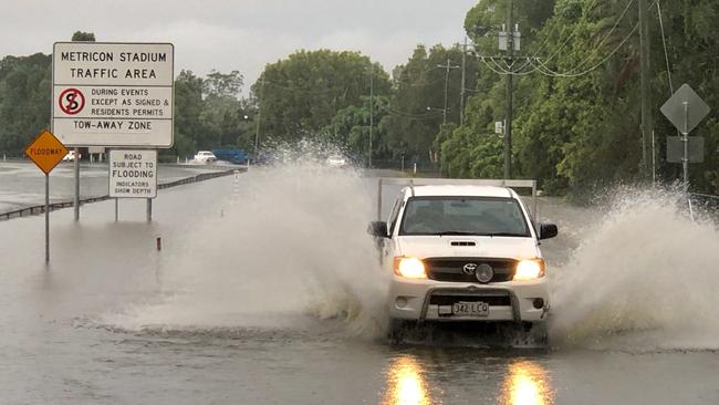
“We could still see showers and storms today, over the next few days and into the next week. Some decent rainfall totals, but nothing like what we had Friday-Saturday.”
Ms Wong said the Coast can expect “relatively average conditions for the next few months”.
“We don’t have any strong climate drivers doing anything much, so the Coast should see those average conditions,” she said.
The average rainfall for February is about 165mm.
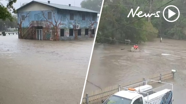
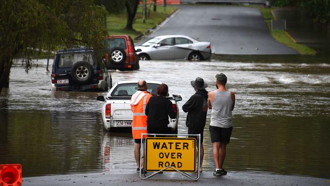
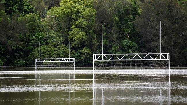
More than triple the Coast’s average monthly rainfall bucketed down over about 12 hours from late Friday night, wreaking havoc across the city.
KEEP UP WITH THE CONVERSATION. 50% OFF FOR THE FIRST 12 WEEKS. T & Cs APPLY
Loders Creek received the most rain at 330mm, but huge rainfall totals were recorded across much of the region, including 255mm at the Seaway.
“The heaviest rain fell around the Gold Coast early on Saturday morning, so between midnight and 6-7am,” Ms Wong said.
“We did get a lot of reports of flash flooding.”
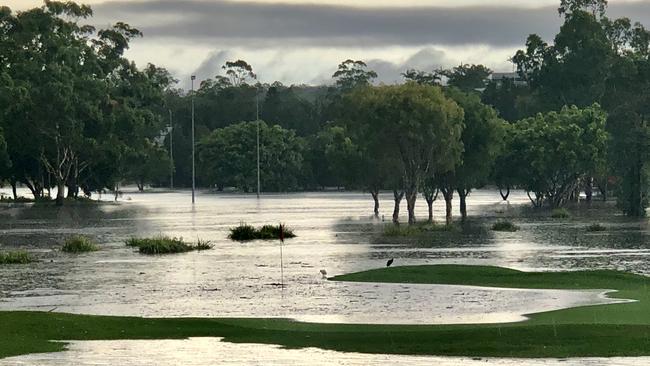
Some of the heaviest rainfall was around Monterey Keys, which got 146mm over two hours.
“It was coming down really intense in a relatively short period of time,” Ms Wong said.
Other notable falls included 301mm at Carrara, 297mm at Evandale, 292mm at Burleigh Waters and 239mm at Pacific Pines.
However, most of the rain did not run off into dams, an SEQ Water spokeswoman said.
“Because the dam catchments have been extremely dry, much of the rain has been absorbed and did not run off into the dams,” she said.
Since the start of the rain on Friday, southeast Queensland water grid dam levels have risen 0.8 per cent, from 55.3 per cent to 56.1 per cent (about 17,000 ML).
“This is mainly due to Hinze Dam inflows. The dam has risen 3.5 per cent (11,000ML). Hinze is at 85.4% this morning,” the spokeswoman said.
Wivenhoe and Somerset dam remained “relatively steady” at 43 per cent and 64 per cent, respectively.
North Pine Dam has risen by 0.9 per cent and Baroon Pocket Dam 0.8 per cent.
Little Nerang Dam has risen from around 72 per cent to 90 per cent, but that only equates to about 1200ML.
The average rainfall across the Hinze Dam catchment area was 246mm, but significantly less in other catchments.
Currently, the Gold Coast is one of eight councils in southeast Queensland under a State Government drought declaration.
The spokeswoman said SEQ Water would be in talks with other authorities about the declaration and whether it would remain in place.

It was love at first Cosplay for Resident Evil 4 characters
Supanova and Comic Con on the Gold Coast holds special significance for a pair who locked eyes when both attended as characters from the same video game - and stayed together since.

Unstable, trouble breathing, vomiting: Horror Gold Coast vet visit
A Gold Coast woman has been suspended from operating as a vet for six months after treating a dog’s teeth with methylated spirits. Read what happened