
Gold Coast weather: All you need to know about rainfall, temperature, storms
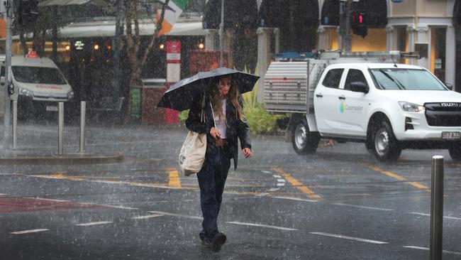
Persistent rainfall overnight and early Friday morning has drenched the Gold Coast. HERE’S WHAT TO EXPECT FOR THE WEEKEND

Gold Coast
Don't miss out on the headlines from Gold Coast. Followed categories will be added to My News.
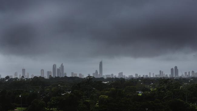
PERSISTENT rainfall and cooler temperatures is predicted to continue across the Gold Coast until early next week.
Parts of the city were drenched overnight and early on Friday morning with some suburbs measuring 80mm.
OUR BEST OFFER IS BACK: FULL ACCESS JUST $1 FOR 28 DAYS
The Bureau of Meteorology (BOM) is forecasting rain to continue throughout the weekend, only clearing late on Sunday.
Forecaster Matt Marshall said the highest rainfall was on the Coastal fringes and Springbrook.
“Since 9am (Thursday) yesterday, and these numbers are still getting added to, Coombabah has had 80mm and Burleigh Waters 79mm,” Mr Marshall said.
“The Gold Coast generally has had about 30 to 40mm overnight and it’s going to continue, but there will be a gradual weakening trend.
“Showers will continue throughout the day today and tomorrow and the clearance will be late on Sunday, then you’ll get a really great day on Monday.”
According to data by the BOM, rainfall at the Gold Coast seaway in February averaged 183mm. This month to date the Coast has had 91.2mm.
The driest February on record for the seaway was in 2005 when a mere 17mm of rain was recorded.
Last month, the Coast recorded 114mm of rainfall, close to the January average of 135.9mm.
But it was last December the rainfall smashed the monthly average by more than 150mm.
On average, the Gold Coast seaway records 135mm of rain, however in December 2020, a massive 300mm was dumped across the Coast.
Mr Marshall said from Monday, the rain would clear and a south-westerly wind would raise temperatures to the mid-30s.
“The more inland you are, the more you’re going to feel the warmth. Surfers (Paradise) is predicted to reach 32 degrees, Nerang 34 and Beaudesert 36,” he said.
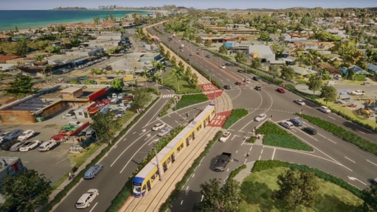
‘It’ll be a mess’: Explosive claim on southern GC’s future
Parliament has heard explosive claims about the future awaiting the southern Gold Coast amid reports the light rail is “finished”.
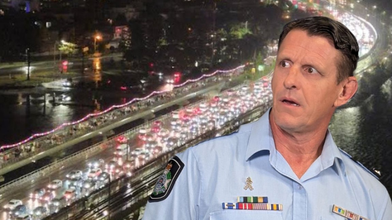
‘120 kilometres an hour’: Cops slam alleged e-bike bridge stunt
Gold Coast police have urged parents to educate themselves about the dangers of e-bikes after a shocking incident on the Sundale Bridge. FULL DETAILS