Gold Coast’s flood plain development wave about to be stopped
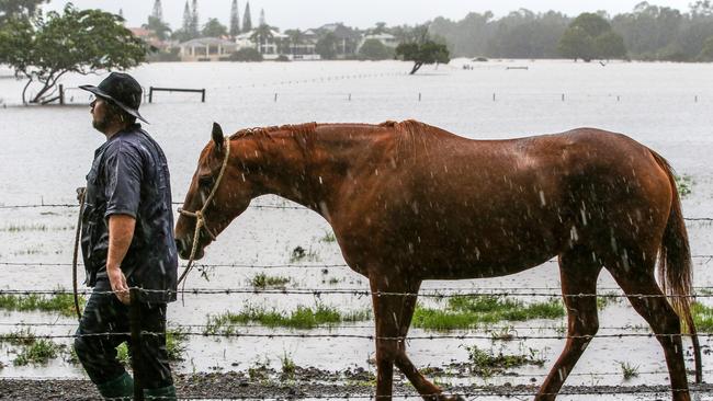
THERE are moves to ban development on the Gold Coast’s largest flood plain as it faces a wave of applications for residential and commercial projects.

Council
Don't miss out on the headlines from Council. Followed categories will be added to My News.
COUNCIL is working to ban development on the Gold Coast’s largest flood plain as it faces a wave of development applications for residential and commercial projects.
A report to councillors reveals council has received at least nine development applications which could see 3105 dwellings built in high to extreme flood areas.
TERRIFYING REALITY OF COAST’S NEW FLOODMAPS

PLAN FOR SHOWGROUND ON FLOOD PLAIN
At least two other development applications have been approved where the platforms must be built to protect residents and developers are forced to put in place flood emergency plans.
A list of developments provided to council’s planning committee includes a proposed hardware and trade supplies showroom at Nielsens Road and six projects at Merrimac.
“The concern is that these applications are either wholly or partially on platforms that extend out into the flood plain on land subject to high to extreme hazards,” the officer’s report stated.
Applicants maintained they were complying with a flood overlay code and could provide supporting infrastructure like public open space, roads and community facilities above the designated flood level.
But officers said the approach did not address the risks to residents exposed during the Coast’s big flood events.

The council report said the Guragunbah floodplain, at 22kms long and 7km wide, covering 1836 hectares, provided massive water storage for the city in cyclonic events, protecting suburbs from Southport to Burleigh.
Flood levels in the area can be above 4m in a major event and vary between 1.4m to 2.6m during regular downpours.
Mapping provided by council shows numerous land use opportunities on the flood plain including medium density residential, rural residential and open space corridors.
Councillors have backed a temporary local planning law, which for two years will protect the flood plain as officers work on a minimum flood free land policy and new flood overlay maps.

The law effectively avoids the creation of new lots in the flood plain area which do not have a sufficient area of land above the designated flood level.
Hinterland-based Councillor Glenn Tozer believes the new law was needed because technology had allowed developers to move more quickly with flood solutions than council could make proper and timely assessments.
“The community feels when it sees land functioning as intended (as a flood plain) it gives them reassurance that council is doing the right thing,” Cr Tozer said.
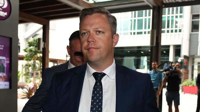
Council planning chair Councillor Cameron Caldwell said council would not support development in areas where there was a significant risk to people and property.
SUBSCRIBE TO THE BULLETIN AND GET A FITBIT

“Our flood plains provide essential flood storage and open space for our City and need to be protected for that purpose,: he said.
“The purpose of the TLPI is to prevent the potential loss of the City’s flood resilience and enable the sustainable mitigation of flood hazard on land included on City Plan’s Flood overlay map.”
Cr Caldwell said council has written to the State Development Minister Cameron Dick seeking approval of TLPI.
Council planning staffers were currently working with the Department of State Development, Manufacturing, Infrastructure and Planning.
“The Department will make a decision in due course,” he said.


