
Map highlights recreational spots along Georges River
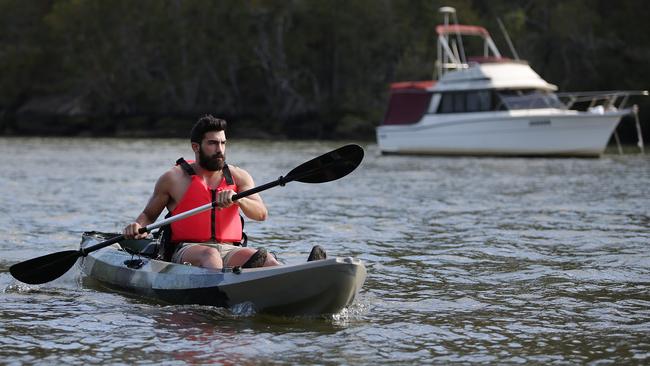
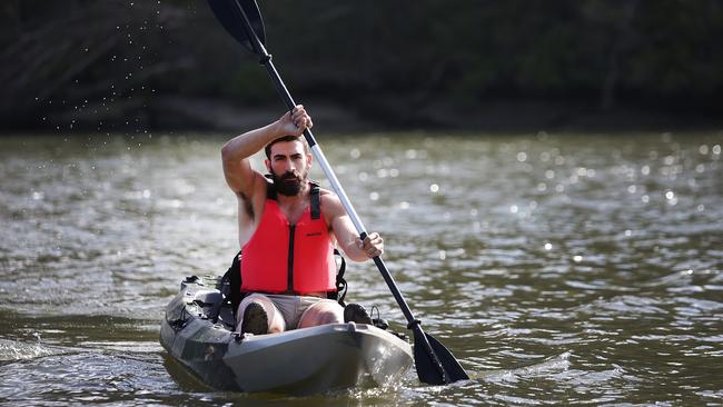
An interactive online map is making it easier for residents to find the best recreational spots, as well as boating and fishing locations, along the Georges River.
Liverpool
Don't miss out on the headlines from Liverpool. Followed categories will be added to My News.
An online map showing the best recreational spots along the Georges River is now available for users to contribute their favourite walking paths and lookouts.
Developed by Georges Riverkeeper, a body made up of eight Sydney councils, the interactive map pinpoints locations for walking, cycling, swimming, fishing and boating along the river.
Georges Riverkeeper chairman Geoff Shelton said it could be difficult to find the best spots for recreation and relaxation, and the map offered an easy way to navigate the river’s length, which spans more than 100km.
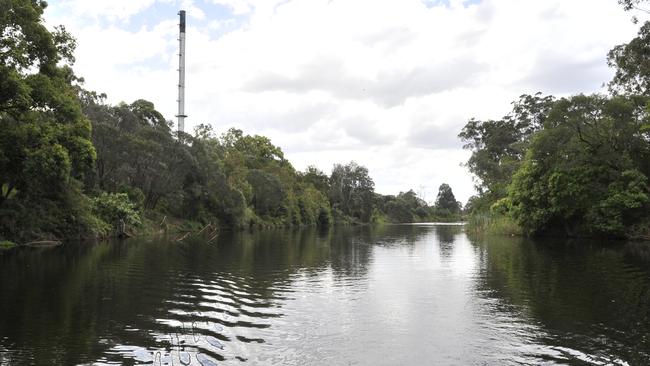
“The digital map is an easy way to find cycle tracks, nature walks, swimming spots and other facilities such as playgrounds and toilets, as well as finding out more about the vegetation and geography of the river,” Mr Shelton said.
“We wanted to showcase the recreation and relaxation opportunities the Georges River has to offer.”
He said communities benefited from the river each year — to the tune of more than $2 billion in ecosystem services annually — with more than 1.4 million people living in the Georges River catchment.
It is the second most urbanised river catchment area in NSW.
Ecosystem services refers to the benefits humans gain freely from the natural environment.
“There is a clear link between access to natural resources such as the Georges River and the liveability of an area and the health and wellbeing of its people,” Mr Shelton said.
Member councils — including Bayside Council, City of Canterbury Bankstown, Campbelltown City Council, Fairfield City Council, Georges River Council, Liverpool City Council, Sutherland Shire Council and Wollondilly Shire Council — helped develop the map, which can be found on the Georges Riverkeeper website.
Residents can share their favourite spots by using an activity tracker on a smartphone or the Strava app to track their steps, then email the gpx file to contact@georgesriver.org.au.
Users can also email a screenshot of their walking route or favourite lookout.
Development of the map will be ongoing and Georges Riverkeeper is inviting residents to contribute, starting with your favourite walks and lookouts.
Georges Riverkeeper is committed to the protection and regeneration of the river.
See georgesriver.org.au.
IN OTHER NEWS
