
Central Coast named NSW’s third highest storm hotspot as La Nina threatens wet summer
The coast has been named in the top five NSW storm hot spots and with a La Niña weather pattern over the Pacific Ocean, this summer could be damaging. Here’s what you need to know.


Central Coast
Don't miss out on the headlines from Central Coast. Followed categories will be added to My News.
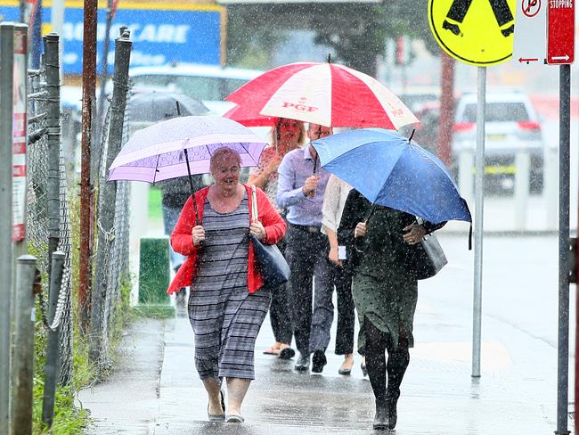
Batten down the hatches, this storm season is shaping up to be a belter.
The Central Coast was named in the top five NSW storm hot spots last financial year with GIO storm related insurance claims data revealing the region has been one of the hardest hit.
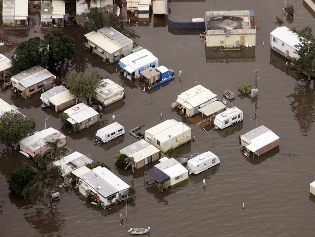
It comes as the Bureau of Meteorology (BOM) has confirmed a La Niña weather pattern has formed over the Pacific Ocean, bringing with it an increased chance of storms, flash flooding and tropical cyclones.
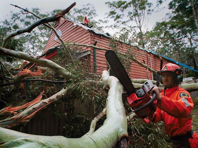
GIO’s data ranked the Central Coast’s 3870 storm-related claims from July 2019 to June 2020 third behind Sydney’s south east with 8369 claims, and Sydney’s north east with 5892 claims.
The coast ranked ahead of Sydney’s south west with 2235 claims and Byron Bay, which ranked fifth across NSW with 1632 claims.
Locally Umina Beach was the worst storm affected suburb on the coast followed by Terrigal, Wamberal, Berkeley Vale and Chittaway Bay.
GIO’s top tips to prepare for the summer storm season include check insurance policies are current and adequate, make a home emergency plan and have an emergency kit, and clear your backyard, gutters, trim trees and overhanging branches.
The BOM meanwhile has declared a La Niña has developed in the Pacific Ocean, upgrading from a La Niña `alert’ status to an active event.
This means that recent changes in ocean temperatures and weather patterns over the Pacific are now likely to remain until at least the end of the year.

La Niña is the cool phase of the El Nino Southern Oscillation. It is associated with cooler than average sea surface temperatures in the central and eastern tropical Pacific Ocean.
La Niña events often form in autumn or winter, then decay in late summer. The greatest impact normally occurs during the spring and early summer period.
According to the bureau recent observations and model forecasts show the central tropical Pacific Ocean is now 0.8°C cooler than normal, and that has resulted in changes to Trade Winds and pressure patterns.
La Niña typically results in above-average spring rainfall for Australia, particularly across eastern, central and northern regions.
The last La Niña event occurred from 2010-2012 and resulted in one of Australia’s wettest two-year periods on record. Widespread flooding occurred in many parts of Australia associated with the record rainfalls.
Tropical cyclone activity in the 2010-2011 season was average however five of the tropical cyclones in this period were in the severe category, which is above average and included the devastating Tropical Cyclone Yasi
The prospect of a wet, humid summer is promising for a reduced bushfire risk but some experts are already warning of an increased chance of mosquito borne diseases.