
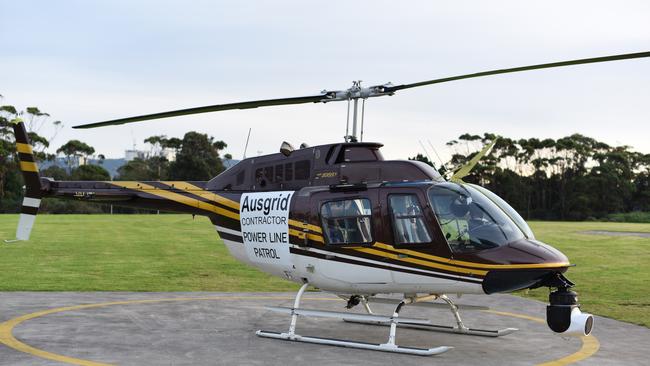
Ausgrid starts helicopter patrols to identify bushfire risks
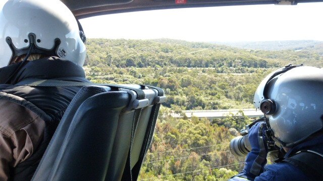
If you see a helicopter flying low over your suburb chances are it will be Ausgrid checking high voltage lines for bushfire risks. CHECK OUT THE INTERACTIVE MAP.

Central Coast
Don't miss out on the headlines from Central Coast. Followed categories will be added to My News.
Ausgrid has started its annual bushfire safety program, assessing power poles and powerlines across the Hunter Valley, Central Coast and south coast for any faults or hazards, such as overhanging branches, that could increase the risk of a bushfire in the warmer months.
On the ground, crews are also contacting property owners who have private power poles on their land and completing inspections to ensure they address maintenance issues.
SCROLL DOWN TO SEE THE INTERACTIVE MAP
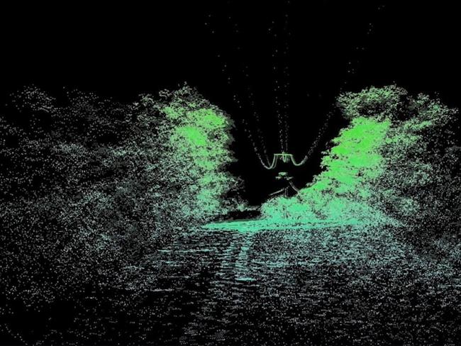
The helicopter uses radar imaging equipment known as LIDAR to help identify potential hazards.
The radar sends and records 300,000 pulses every second to create a three-dimensional image of the network and is capable of identifying tree branch heights within an accuracy of 2cm.
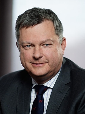
Ausgrid chief operating officer Trevor Armstrong said this year’s bushfire safety program was more important than ever.
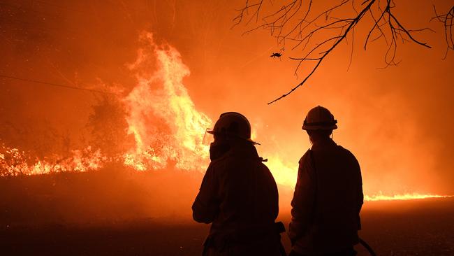
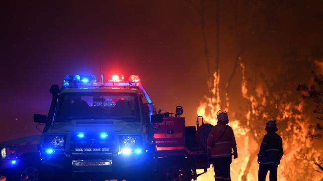
“No-one will forget the catastrophic fires which caused so much loss of life and property destruction over last summer which proved just how dangerous bushfires can be,” Mr Armstrong said.
“It is why Ausgrid has a comprehensive annual safety program in place to help protect the community and reduce the risks of bushfires.
“Every year during the cooler months we carry out aerial inspections and private pole inspections across the network looking for and addressing any potential problems which could become a fire hazard.”
Mr Armstrong said that the helicopter patrols provide the safest and most efficient way to inspect large and expansive high-voltage powerlines.
“We will be using two helicopters, so we can finish the patrols by the end of July, before the start of the next bushfire season in September.
“The helicopter crews will be using laser scanning equipment and taking high-resolution photographs to identify any hazards on our poles and wires and trees growing too close to powerlines”, he said.
Crews will be in the air from about 7.30am to 5.30pm — weather permitting — and property owners may want to consider securing livestock during the patrols.
“The helicopters fly between 25 and 40 kilometres per hour and have been modified to allow for the quietest possible operation, but they may fly low at times, which can startle livestock in rural areas,” Mr Armstrong said.
Private power pole inspections on the ground are also underway and Ausgrid is encouraging property owners to help do their part in ensuring poles on their property are safe and clear of any tree branches or vegetation which could spark a fire.
“Private poles and powerlines that aren’t safely maintained by property owners can become a serious bushfire risk and we need property owners to do their part in keeping our communities safe,” Mr Armstrong said.
Ausgrid’s network covers an area of more than 22,000 square kilometres across Sydney, the Central Coast and the Hunter, from Waterfall in the South, west to Auburn and just north of Scone.