
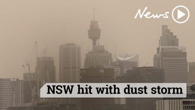
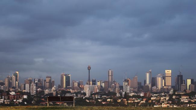
Up to 60mm of rain set to drench Sydney
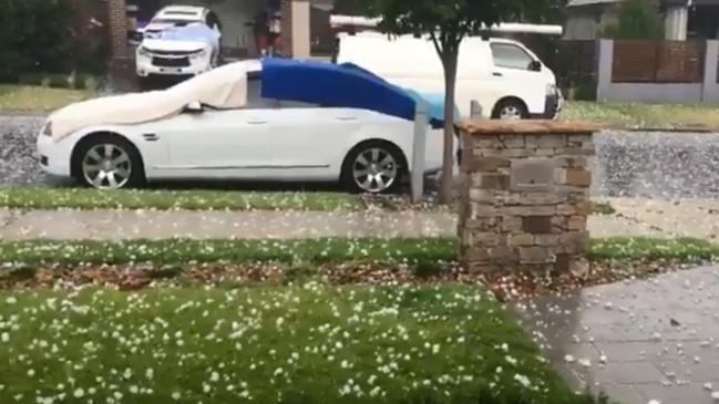
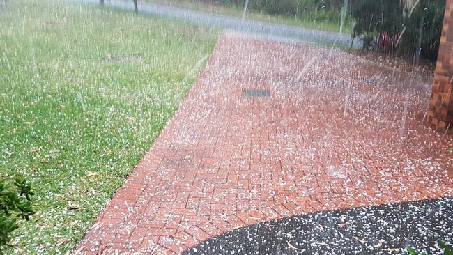
Western Sydney has been hammered by hail as three storm systems hit Sydney. Blacktown, Kings Park and Seven Hills will be the worst hit as the storms track north ast.
Western Sydney has been hammered by hail.
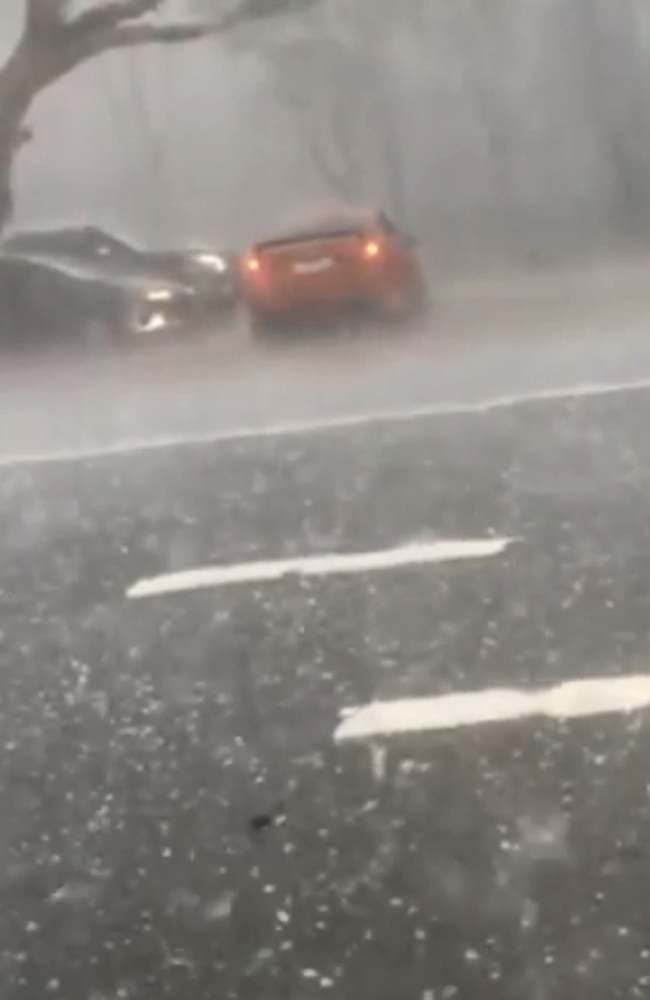
Baulkham Hills resident Xena Fischer said it was “incredible” as she couldn’t see further than a metre in front of her.
“First off it came from one direction and then it eased up a little bit, it was like the eye of the storm and then it came from another direction and it was really heavy,” she said.
“It wasn’t too big but just lots of hail, you couldn’t see in front of you more than a metre.
“There have been a number of sirens go past on the main road and the pond across the road is now quite flooded into the park.”
Blacktown, Kings Park and Seven Hills are also in the firing line as three storm systems track north east.
The SES has had 92 jobs for the Sydney Metropolitan area since the rain started today, 19 in Blacktown and 16 in Liverpool.
A spokeswoman said these jobs were for leaking roofs and minor flash flooding.
The Bureau of Meteorology has issued a severe thunderstorm warning and has told residents to move their cars from under trees and put away loose items around their homes.
Meteorologist Jake Phillips said there would be hail with 2cm-5cm diameters.
Earlier, the SES urged commuters to be careful with parts of Sydney to be belted by half a month’s worth of rain today.
Up to 70mm is forecast to fall on Sydney this evening in short intense bursts.
SES Metro zone commander Laura Wythes told The Daily Telegraph they are preparing for flash flooding.
MORE NEWS
Student rallies reveal radical decline in spelling skills
Man wanted after woman’s brutal NSW murder
Craig Laundy to announce ‘imminent’ retirement
“We’re expecting approximately 70mm of rain around peak hour traffic times with the highest impact around the coastal areas of Sydney,” she said.
“We are asking people to prepare alternative routes for their drive home and question whether you have to be on the roads at this time if you can avoid it.
“Do not drive through flooded waters, we don’t want you to risk your own life and the lives of our volunteers.”
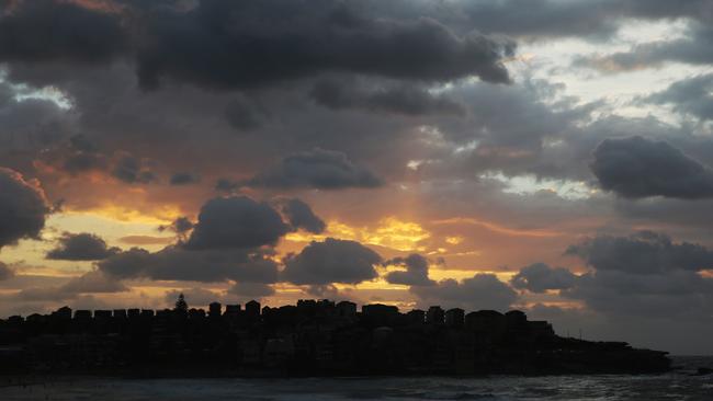
The bucketload of rain is equal to half of the March average.
A shift in the weather was brought on by a coastal trough which is moving closer to the shoreline pushing hot, humid air from Queensland down into the state.

The Bureau of Meteorology has issued severe thunderstorm warnings for most of the coast, ranging from Tweed down past Wollongong and to the NSW South Coast.
When driving in a storm or heavy rain NSW Police recommend slowing down, turning your lights on and being hyper aware of your surroundings.
AusGrid suggests people take the time to charge their phones and be familiar with their power outage map before the storm hits.
In the event of power lines being knocked over, a Ausgrid spokeswoman said they should be treated as if they are alive and you should stay at least two car lengths away.
If you need assistance you can contact the SES on 132 500 or on their website.

Last owner standing holds up Packer’s rebuild plans
Just one remaining apartment owner is standing in the way of long-held plans by James Packer to redevelop a Potts Point unit block.

How a wet summer led us to disaster
Record flooding across the mid-north coast that claimed the lives of three people and destroyed countless homes was partially caused by an unusually wet summer.