
Surf warnings, rain expected to dampen holidaymakers’ summer
Dangerous surf conditions up and down the coast have put holidaymakers on notice, with rain expected to dampen school holiday plans over the coming days.
NSW
Don't miss out on the headlines from NSW. Followed categories will be added to My News.
The new year’s warm and sunny welcome is just about over, with dangerous surf and the promise of rain set to dampen holidaymakers’ plans.
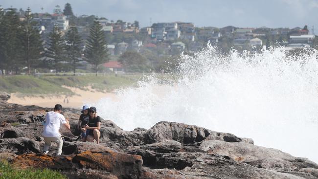
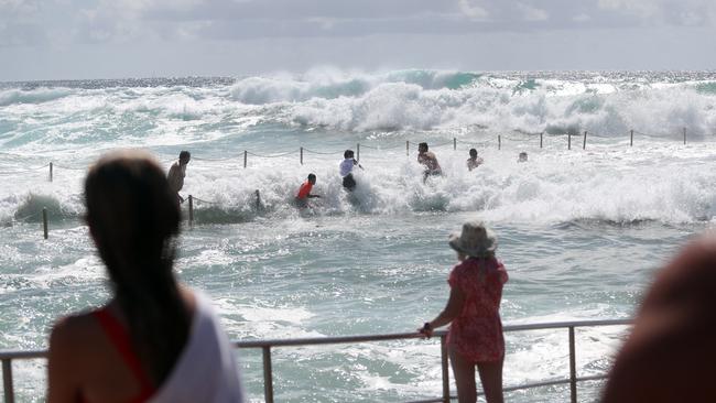
As the first week of 2022 ends, beach bums have been put on notice by the Bureau of Meteorology after a fresh hazardous surf warning was issued for the NSW coastline on Tuesday morning, with the Byron, Coffs, Macquarie, Hunter, Sydney and Illawarra Coasts to bear the brunt of powerful surf.
“Surf and swell conditions are expected to be hazardous for coastal activities such as rock fishing, boating, and swimming,” the BOM said in a statement on Tuesday morning, urging people to reconsider rockfishing, boating and other on-water activities today.
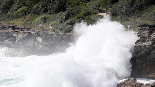
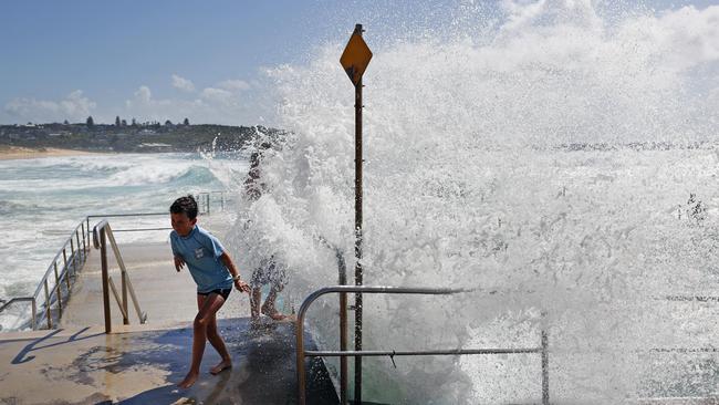
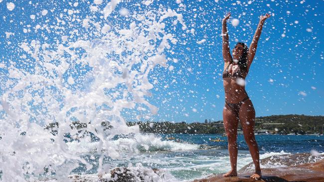
It comes as big surf caused by ex-tropical Cyclone Seth hit Curl Curl on Sydneys Northern Beaches this morning, with waves thundering into the rocks and baths, showering swimmers with sea spray.
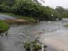
Rain is expected to hit the Greater Sydney area from today, with a “very high” chance of showers” bringing 5-10mm of rain on Wednesday and Thursday and the chance of thunderstorms to the western half of the city.
The wet conditions are expected to continue over the weekend and into Monday, where temperatures will heat up to 30C.
It comes as hazardous surf and dangerous winds are expected to wreak havoc in the northern parts of the state as ex-tropical cyclone Seth continues to hover just off the east coast.
Bureau of Meteorology forecaster Jiwon Park said 5m high waves were recorded at Byron Bay on Monday, while a king tide could inflict significant damage on nearby beaches.
The BOM issued a damaging wind warning for between Evans Head and Tweed Heads as gusts up to 100km/h were expected throughout last night, while a dangerous surf warning remains in place for much of the state’s coast.
But among those enjoying the warm 24C water temperatures on Monday was Amelia Gammo, who ventured to Balmoral Beach from her Lane Cove home for a dip.
“It was phenomenal, it was like the Maldives had come to Australia, it was beautiful, sparkling blue water,” she said.

Loaded military-style rifle seized from stolen car: Police
A loaded military-style rifle has been seized by police after two fumbling men allegedly left it behind when they fled on foot after their vehicle became wedged beside a garbage truck.

Labor minister dumps party red for Sydney flyer
A pamphlet from Tanya Plibersek announcing boundary changes has attracted attention — not just for its message — but for its unexpected purple colour instead of Labor’s signature red.