
North Coast on cyclone watch
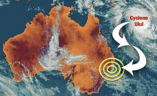
NORTHERN NSW may be spared the worst of Cyclone Ului, currently 1450km off the Queensland coast, when it begins to track south in the next 36 hours.
Lismore
Don't miss out on the headlines from Lismore. Followed categories will be added to My News.
NORTHERN NSW may be spared the worst of Cyclone Ului, currently 1450km off the Queensland coast, when it begins to track south in the next 36 hours.
Bureau of Meteorology forecasters said it was impossible to predict the behaviour of a tropical cyclone and whether it would pose a threat to the Northern Rivers.
“It is too unpredictable,” forecaster Chris Webb said.
“It is not expected to affect Northern NSW this week.”
Mr Webb said tropical cyclones often recurved to the south-east before they hit Northern NSW.
“They head off towards New Zealand,” Mr Webb said.
Cyclone Ului, with wind speeds of about 200km/h, is currently moving westward toward the Queensland coast at 7km/h.
Such high winds would be extremely destructive if the cyclone was to touch land. However, it is expected that Ului will begin tracking south on Wednesday and will remain off-shore.
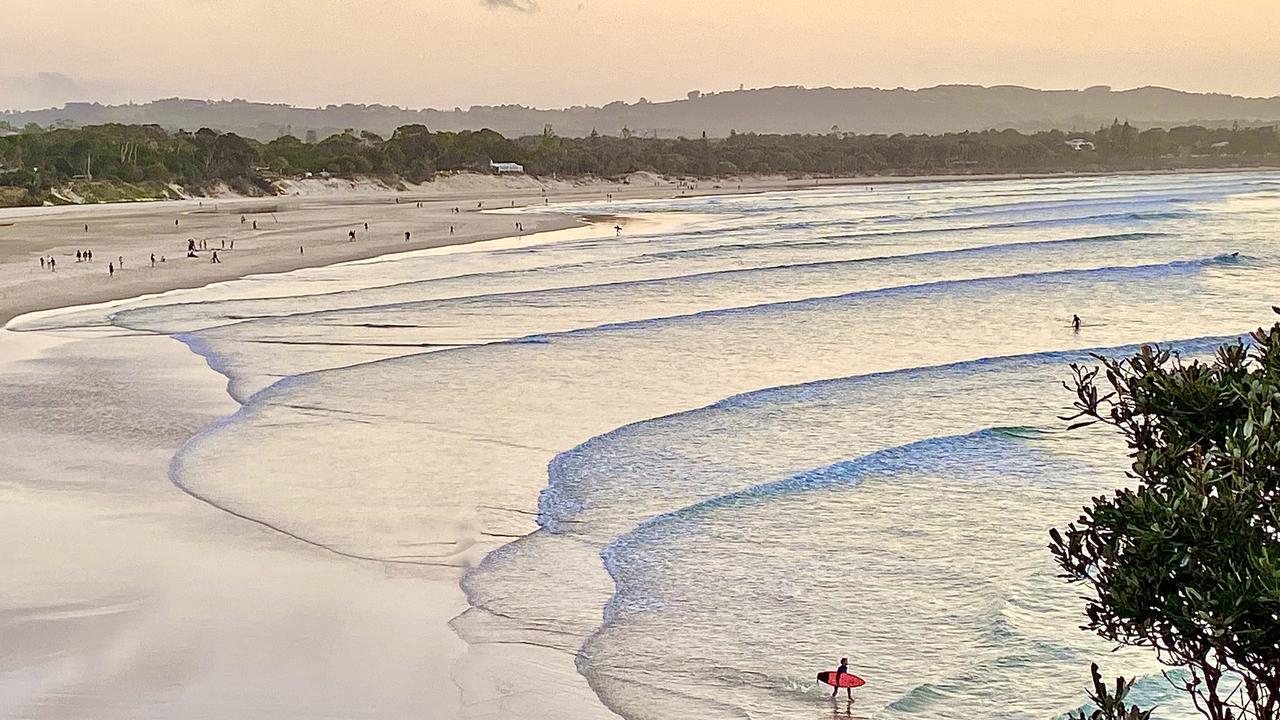
While the cyclone may not pose any threat, rainfall, brought by light south to south-east winds, is expected to continue in the Northern Rivers at least until the end of the week.
After a dry spring the Northern Rivers had above average rainfall in February.
Byron Bay received the most rain last month with 309mm compared to the February average of 184.4mm.
Ballina was also above average, receiving 227.4mm of rain compared to an average of 202.5mm, as was Casino, recording a rainfall in February of 196.6mm compared to an average of 154.9mm.
Lismore was below the Febraury average of 183.6mm, recording a rainfall of only 142.9mm last month.
National Climate Centre climatologist Lynette Bettio said widespread above average rainfall across NSW during summer, especially in February, eased short-term rainfall deficiencies across most of the State.
Despite the February rains, not enough rain fell to end the drought. Large sections of western, south western and central Northern NSW are still officially in drought, although not the Northern Rivers.
Mrs Bettiosaid the effects of the El Nino weather pattern, which caused the dry spring, were now coming to an end.
“It usually starts to drop away by autumn,” Mrs Bettio said.
Climatologists began to observe an El Nino system, which usually only last for about 12 months, during last winter.
Unfortunately for the drought affected areas there are no signs of a La Nina weather pattern, which brings rain, any time soon, Mrs Bettio said. El Nino generally occurs at intervals of between two and seven years.
Forecast
Over the next four days the south-easterly winds will bring scattered rainfall to the Northern Rivers. Daytime temperatures will range from 25 to 27 degrees throughout the region, while at night the minimum temperature will be between 17 and 18 degrees.
Originally published as North Coast on cyclone watch
‘Unplug, unwind’: Luxury Byron Bay retreat has everything you could ever want – except this
An adults-only retreat not far from the centre of the northern NSW tourist hot spot delivers the set up for a chilled-out weekend.

Meet the hopefuls battling to represent Page
Page is the seat to watch come election night but how well do you know the candidates? We help you decide as hopefuls share a range of insights from their political ideals to baking with the CWA and transgender sports.