
BOM: Heavy rain, thunderstorms
Umbrellas and gumboots not sunhats and flip-flops are the recommended attire by the Bureau of Meteorology this weekend.

Lismore
Don't miss out on the headlines from Lismore. Followed categories will be added to My News.
UPDATE 3.40pm: The Bureau of Meteorology has warned people travelling south from the Northern Rivers a Flood Watch has been issued for a number of rivers in NSW.
This follows an earlier report where BOM Meteorologist Helen Reid said Northern Rivers residents should be prepared for thunderstorms and heavy rain which could lead to flooding.
BOM stated that a broad low pressure trough over inland New South Wales is deepening and generating unsettled conditions with associated showers and thunderstorms in many districts. This trough will move east today ahead of an approaching cold front.
Heavy rain leading to flooding is possible over parts of the northern coast.
As the change reaches the northeast on Sunday, it is forecast to stall, bringing rain to central and north eastern parts of the state.
Heavy rain leading to flooding is possible over parts of the Northern Slopes and northern coast.
On Monday the trough moves offshore and a low pressure system may develop within it.
Catchments in the North West Slopes and northern coast are saturated from recent rainfall.
The weather system is expected to cause flooding for the catchments listed.
Catchments covered by the Flood Watch include:
Orara River - minor - flooding
Coffs Coast - local flooding
Bellinger and Kalang Rivers - minor to moderate flooding
Nambucca River - minor to moderate flooding
Upper Macintyre River - minor flooding
Gwydir River - minor flooding
Peel River - minor to moderate flooding
Namoi River - minor to moderate flooding
Castlereagh River - minor to moderate flooding.
Original story: Widespread heavy rain and thunderstorms could lead to possible flooding across the Northern Rivers this weekend according the Bureau of Meteorology.
BOM Duty Forecaster Helen Reid said the region was still experiencing what she called "summer of La Nina".
But get your doonas, jumpers and beanies ready, because Ms Reid said this was about to change.
"There's more rain and thunderstorms on the way and it will be widespread as far out as Casino and Tabulam until sometime on Monday," she said.
"Then on Monday we will start to move into autumn proper with a top temperature of 26C, before Tuesday (where) we'll have a maximum temperature of about 23C."
Ms Reid said while the thunderstorms and humidity will disappear, the rain will persist.
"We will lose some of the tropical-ness as the southern cooler air flow comes through next week, but not the deluging storms," she said.
"Last year's weather was horrible, this year it's simply inconvenient."
Ms Reid said people often have short memories when faced with weather they don't want.
"In 2020 we were all saying where's the rain as we were still recovering from bushfires," she said.
"But this year we seem to have forgotten the two years of drought which led to the bushfires and now we are all sick of the much-needed rain."
Meanwhile, Ms Reid said the BOM hydrologists were carefully monitoring rainfall and water levels.
"Our hydro people are looking carefully and monitoring all the catchments as the ground is so saturated it might only take 5mm in the wrong spot and we could have some flooding," she said.
"As this wet weather over Northern NSW is quite widespread.
"While a lot of the rainfall has been coming in from the coast, the thunderstorms which are more land-based means Casino and Tabulam are likely to receive rain as well."
However, next week as the storms will come from the east, those living on the western side of the region may have less in the rain gauge.
Ms Reid said it is critical that people maintain their vigilance regarding potential severe weather occurring.
"The message we want to get out that warnings for thunderstorm activity could be issued and this could include heavy rainfall which could exacerbate saturated ground and cause flooding," she said.
"So please everyone, stay alert and pay attention to any alerts and warnings issued by the BOM."
The BOM constantly monitors all of its radars to detect thunderstorms. Severe Thunderstorm Warnings will be issued if the storms are expected to produce any of the following:
Damaging wind gusts (90 km/h or more)
Large hail (2cm diameter or more)
Very heavy rainfall (conducive to flash flooding)
Tornadoes
Note: All thunderstorms generally produce lightning, and many produce gusty winds, brief heavy showers and hail.

Lismore sale and auction results, week ending February 8
Lismore recorded 14 property sales over a million dollars last week, the latest auction and sales results reveal.
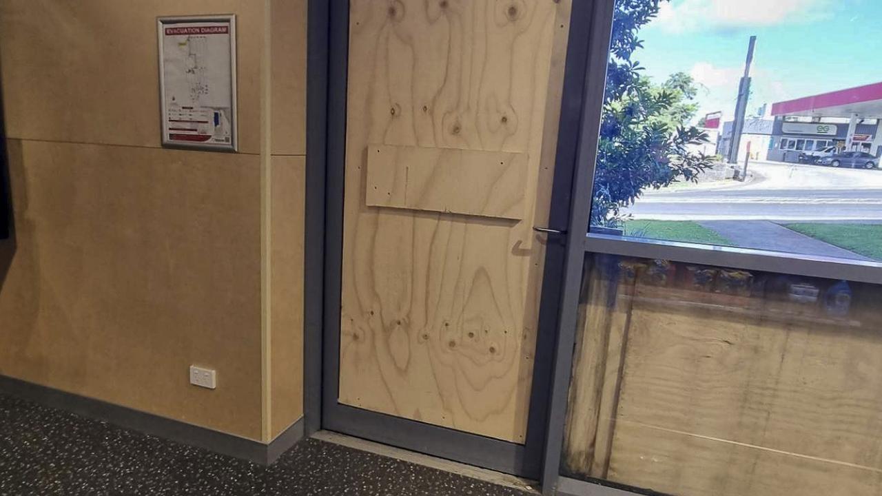
Thieves steal TVs, items in brazen smash and grab burglary
A North Coast supermarket was targeted in a brazen burglary, leaving the retailer to board up its front door and window.