OPINION: Clarence Loop has a ring to it
AN EASY round trip from Maclean to the north or Grafton to the south, incorporating two unique river crossings and historic villages on either side of the river

Grafton
Don't miss out on the headlines from Grafton. Followed categories will be added to My News.
AN INTERESTING item discussed at Clarence Valley Council's Environment and Planning Committee meeting on Tuesday was the creation of a new tourist route along the current Pacific Highway when the new motorway is opened.
>> RELATED STORY: Proposal for Old Pacific Highway to become a tourist drive
The stretch of highway which hugs the southern bank of the Clarence River would complement the Lawrence Road along the northern banks, which is already tagged as a tourist drive.
The council committee recommended a motion to be voted upon at next Tuesday's full council meeting to seek provision from Roads and Maritime Services of adequate signage on the new Pacific Motorway and to create the new tourist route.
The NSW Government's Tourism Attracting Signposting Assessment Committee has already indicated they would not support such a move. But surely it makes perfect sense and would be a fantastic lure for travellers to stop and spend a day to check out the historic Clarence River.
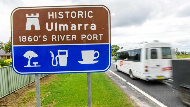
An easy round trip from Maclean at the northern end or Grafton at the southern end, incorporating the Lawrence Ferry and "bendy bridge” at the north and south river crossings, with ideal coffee and lunch stops on either side of the river at Ulmarra Hotel and Lawrence Tavern.
Last year the old section of the Pacific Highway between Ballina and Byron Bay was unveiled as the Hinterland Way. Surely the "Clarence Loop” has a ring to it too.
Originally published as OPINION: Clarence Loop has a ring to it


