
FLASH FLOODS: Heavy rains lash Lower Clarence
Roads turned into rivers and a popular tourist attraction received its second dose of bad luck from Mother Nature after falls of more than 100mm in some areas.
Grafton
Don't miss out on the headlines from Grafton. Followed categories will be added to My News.
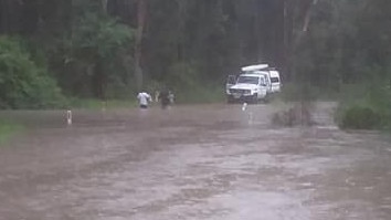
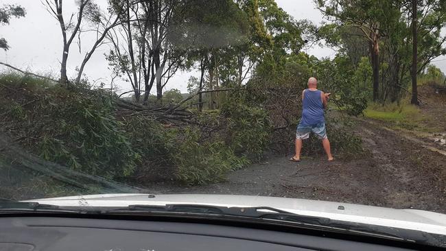
Flash floods and fallen trees blocked roads yesterday afternoon as rainfall figures in parts of the Lower Clarence topped the state for the 24 hours to 9am this morning.
The township of Lawrence recorded the heaviest falls with 133mm recorded, followed by 112 mm at Boyles Bridge near Corindi, 82mm at Tabulam and 73mm at Woolgoolga as widespread rain swept through the north of the state throughout the afternoon and into the evening.
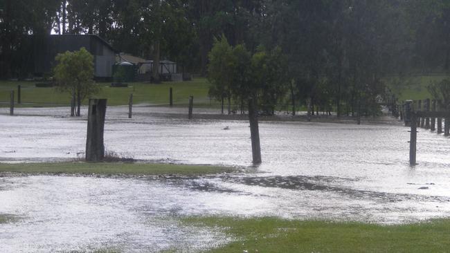
The concentration of heavy falls in the Lower Clarence resulted in a second dose of bad luck for fledgling family tourist attraction the Peach Farm at Mororo.
On October 31 the family run business suffered thousands of dollars of damage after a freak hail storm destroyed much of the farm’s netting and crops.
Related Articles:
2 MINUTES OF MAYHEM: Heavy hail destroys Peach Farm crop
POWER 30: Ray and Edwina Cameron #28
The family woke up this morning to discover a weather event had caused significant damage to the property once again.
“150mm last night so more chaos at the peach farm,” a post on the business’s Facebook page read.
“We reckon maybe one or two foot (depth of water) through the cafe area, orchard and down the driveway.
“Clean up today so we can reopen tomorrow. Animals all good and ‘high and not quite dry’, but fed and happy.”
150ml last night so more chaos at the peach farm... 🙄 we reckon maybe 1/2 foot through the cafe area, orchard and down...
Posted by The Peach Farm on
The weather conditions have been caused by an inland trough, and the Bureau of Meteorology have predicted a continuation of showers and thunderstorms across the region today and tomorrow as the trough moves further to the west and drags moisture with it.
“We had a very wet day and night up in the Northern Rivers with numerous stations over 60 millimetres and a fairly broad area saw 25 to 50mm,” BOM meteorologist Helen Kirkup said.
“The northwest slopes and plains in particular have the chance of seeing severe thunderstorms, large hail, damaging winds and intense bursts of rainfall.
“Similarly in the Northern Rivers area we could see severe thunderstorms, but that will be mostly in regards to intense bursts of rainfall that can lead to flash flooding.
“As we go into tomorrow the area is a lot broader, so pretty much the eastern half of New South Wales has the chance of seeing a shower or thunderstorm, but are likely to be isolated and anything severe in the Central West and North West areas.”
“From Friday we’ll see any showers become a fair bit more isolated as the winds shift a bit more to the north. Over the weekend we do go back to an onshore airflow, so there will be a few showers around but at this stage we’re not expecting those sorts of heavier falls that we’ve seen in the past few days.”
CLARENCE VALLEY 24-HOUR RAINFALL FIGURES
(mm to 9am Wednesday)
Lawrence................................133
Boyles Bridge (Corindi River).112
Grafton Airport.........................60
Grafton Research Stn..............56
Yamba......................................52
Baryulgil...................................47
Glenreagh................................36
Wooli........................................28
Lilydale.....................................26
Minnie Water............................21
South Grafton (landfill).............20
Nymboida.................................19
Newton Boyd............................17

WATCH: Moment man with baseball bat turns on kids
Wild footage has emerged of a northern NSW man armed with a baseball bat charging towards two young boys on e-bikes, with one screaming “trying to hit little kids are ya?” See the video.
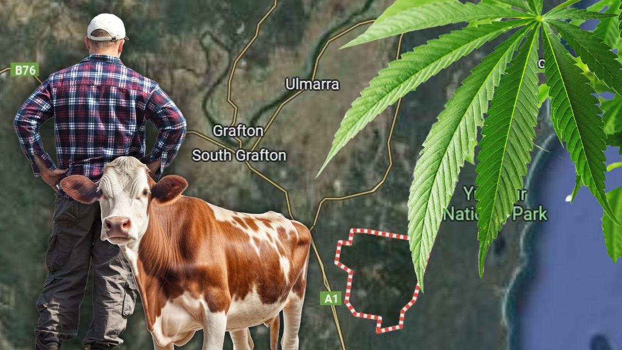
Livestock over lock up: Farmer bailed on drug, fireworks charges
A northern NSW farmer has been granted bail to tend to his flock rather than his alleged crop as he stands accused of being busted with close to 500 cannabis plants, illegal fireworks and ammo.