
Coffs Harbour to cop ‘wet leftovers’ after Sydney smashed
Coffs Harbour will receive up to 40mm of rain (almost 2 inches) in a 48-hour period as the next phase of the system which has brought havoc to Sydney nudges north.
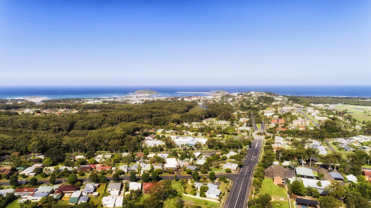
Coffs Harbour
Don't miss out on the headlines from Coffs Harbour. Followed categories will be added to My News.
The East Coast Low which pounded Greater Sydney across the weekend has weakened - but the aftermath will see rain develop across the Coffs Harbour district in the coming days, peaking on Wednesday.
There is a 70 per cent chance of rain at Coffs on Tuesday with falls expected to range from 6 to 15mm.
The situation will build on Wednesday with a 90 per cent likelihood of rain, bringing 15 to 25mm - before the tap gets turned off on Thursday.
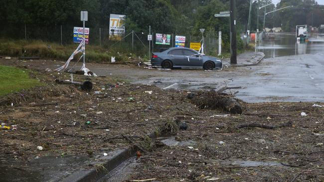
Sorry tales of widespread flooding and even a possible tornado near Sydney will strike a heartfelt chord with Coffs Coast residents who battled inundation in February and March.
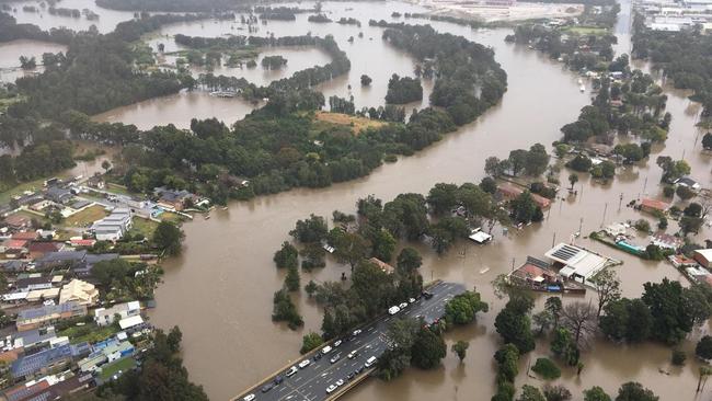
Parts of NSW are now experiencing their fourth major flood in 18 months, with around 30,000 people subject to an evacuation order or warning on Monday, July 4.
Thousands of Greater Sydney residents have been left stranded after more than 150mm of rain fell in the past 24 hours in some areas across the state.
NSW Emergency Services Minister Steph Cooke said the flooding was “heartbreaking” for people across western Sydney, the Hunter and other regions who were only just recovering from the last heavy downpour.
The Bureau of Meteorology (BOM) is investigating whether a tornado was responsible for the widespread damage seen in the Illawarra region.
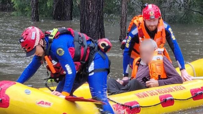
As of 11.59pm on Sunday, the Wollongong State Emergency Service (SES) unit had taken 224 requests for assistance.
While the BOM said the East Coast Low had now weakened into a trough over the Hunter District, an onshore flow south of the system is still directing humid air onshore, causing moderate to at times heavy rainfall in areas near and to the south of the trough.
The BOM advises that drier air should push gradually northwards up the NSW coast through Monday afternoon, clearing most of the rain out of the Illawarra, Blue Mountains and Sydney by late this evening.
While rain rates have generally eased, six hour rainfall rates of 60-100mm are still possible today.
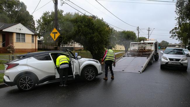
NSW SES Assistant Commissioner Dean Storey said those in flood-prone areas should avoid unnecessary travel.
“In many areas it is still an evolving flood situation, and we may see more rain than what was originally forecast,” Mr Storey said.
“If there is an evacuation warning in place, be prepared to leave. Have an emergency kit ready to go with warm clothes, important documents, medications, laptops, phones and chargers.
“Keep up to date with warnings and evacuate if you are told to.”


Coffs Harbour sale and auction results, week ending July 26
Coffs Harbour recorded five property sales over a million dollars last week, the latest auction and sales results reveal.

Northern Rivers man’s bail plea after police discover weapons haul
Specialist police units, including the heavily-armed tactical operations group, seized firearms, ammunition, and cannabis during a dramatic raid on a Northern Rivers property, as a man faces multiple gun and drug charges.