Snow is falling on the Northern Tablelands, but could it reach Northern Rivers?
Temperatures are forecast to drop to near-zero in some of the region’s major centres on Thursday morning.

Byron Shire
Don't miss out on the headlines from Byron Shire. Followed categories will be added to My News.
Update: 1.40pm
Snow has been falling in Guyra on the Northern Tablelands today.
Higgins Storm Chasing earlier posted a live video on social media depicting flurries of snow falling in the town, between Armidale and Glen Innes.
The group said in another post the icy blast “could be a bigger snow event than 2015”.
In 2015, significant snow fell as far north as Stanthorpe on Queensland‘s Granite Belt.
The Bureau of Meteorology has forecast falls are likely above 600 metres and reported in a Facebook post southeast Australia had “the first significant cold outbreak of winter” settling in as ”a vigorous cold front” has moved across NSW.
“The more intense cold air will be over NSW. As a result, snow will fall to low elevations, including for areas which do not see flurries every winter,” the bureau said.
“Snow is possible above 600m including the NSW Southern, Central and Northern Tablelands and there have been reports of snow this morning in Crookwell, Orange and Blayney.
“Slushy snow and sleet are possible down to as low as 500m, including for Canberra and Goulburn.
“In Southern Queensland, snow is possible around the peaks of the Darling Downs late Wednesday or the early hours of Thursday.”
The bureau warned while snow would be a cause for celebration for some, it could also cause disruption if there are significant falls in non-alpine area.
“Even small amounts of snow and ice on roads can increase the risk of accidents, so please take care,” the bureau said.
Earlier:
The Bureau of Meteorology has forecast snow for much of the Northern Tablelands for today and tomorrow.
Tenterfield, Guyra, Glen Innes, Armidale and Walcha are among the towns forecast to receive at least some snow.
The weather bureau has said snow would be possible above 600 metres on the Northern Tablelands on Wednesday.

Overnight temperatures heading into Thursday are forecast to drop to between -2C and -5C with snow also falling above 600 metres.
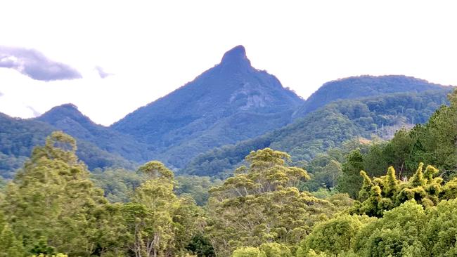
While those forecasts relate primarily to the Northern Tablelands, there has been speculation about whether the Northern Rivers’ highest points, including Mt Nardi and Wollumbin, could also receive a flurry.
The snow forecast appears to stop at the Queensland border; the Granite Belt including Stanthorpe is expected to receive frost instead.

Minimum temperatures on Thursday are forecast to reach 2C in Lismore and 4C in Murwillumbah.
The highest point of Mount Nardi is 812 metres above sea level, compared to Wollumbin (Mount Warning) at 1156 metres.
A weather bureau spokesperson earlier this week said snow was “very likely in areas above 900m near the coast and above 800m further inland”.
She said the “full effect” of an “icy blast” was set to be felt on Wednesday with inland areas expected to “take the brunt of this low pressure system”.


