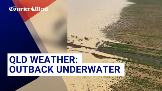
1000mm rainfall forecast for North West Queensland as ex-Cyclone Kirrily continues to take toll
Queenslanders are grappling with devastating floods after Tropical Cyclone Kirrily caused chaos in the state’s north. But the deluge is far from over.
Environment
Don't miss out on the headlines from Environment. Followed categories will be added to My News.
Queenslanders are grappling with devastating floods after Tropical Cyclone Kirrily caused chaos in the state’s north.
The state is now bracing for another deluge, with forecasts predicting an additional 1000mm of rainfall over the coming days.
Wild footage has surfaced from areas across the state, with one clip showing two people in a small boat being swept away in the Cloncurry River.
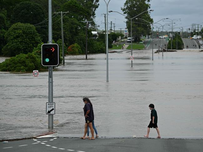
Another showed a child swimming in the flood water near a bus stop.
Major flooding is expected between Burketown and Birdsville, as the system moves south towards the South Australia and New South Wales borders.
The Bureau of Meteorology has warned of heavy rainfall and damaging winds in Gulf Country and North West Queensland, with Senior Meteorologist Patch Clapp revealing the system will start moving south from Friday.
“There’s still a little bit of capacity in the northeast most rivers,” he said via the Courier Mail.
“Flinders River downstream from Richmond is experiencing major flooding, Georgina River and Ayr Creek are on flood watch with both just under the flood watch level.
“Minor flooding is occurring in the Cloncurry.
“There’s also a flood warning out for the Diamantina River as well, with major flooding occurring in Diamantina Lakes, similar to the 1999 flood level.”

Further flood watch warnings have been put in place for areas along the Leichhardt River, Nicholson, and Settlement Creek.
While most catchments in the west have some capacity for more rainfall, the bureau warns isolated falls of up to 300mm in 24 hours could lead to life-threatening flash flooding.
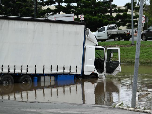
The wild weather has taken a massive toll in the worst-affected areas. Two people were hospitalised near Fort Constantine. after their car was washed away in floodwaters.
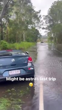
Four major roads have been closed due to flash flooding, affecting routes such as Flinders Highway and Landsborough Highway.
The state’s rail network impacted, with parts of the Mount Isa line cut off and the Central West line closed in multiple places.
Queensland Rail Head of Regional reports that the North Coast line remains open, but Mount Isa line is closed west of Julia Creek due to flooding and track damage.

Inspections and repairs to the rail network will be carried out when the conditions are safer, while efforts are being made to maintain freight movement during track closures.
Premier Steven Miles said disaster assessments have been carried out on 400 properties in Moreton Bay.
“Today the Primer Minister and I are announcing that we’ve activated hardship payments for those in Bray Park,” he said.
“But we expect further suburbs to be added throughout the day.”
Queensland Fire and Emergency Services said they had evacuated 27 people from Warra on the Western Downs on Tuesday after an emergency alert was issued for Myall Creek.
“[The water] never got above floorboards in homes in Warra but it’s certainly in the main street,” Western Downs Mayor Paul McVeigh said via the ABC.
“The service station there had water through it so there’s been a major impact in that community.
Originally published as 1000mm rainfall forecast for North West Queensland as ex-Cyclone Kirrily continues to take toll

