
New work to help protect island residents from fire disaster
Some of the Redlands Coast’s most at risk residents will have an extra protection against fire this season.
Redlands Coast
Don't miss out on the headlines from Redlands Coast. Followed categories will be added to My News.
WORKS to improve emergency evacuation routes on Russell Island are underway.
Full Digital Access: $5 per month for the first 3 months (conditions apply)
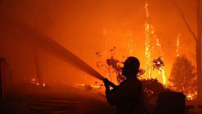
As Redlands residents endure a total fire ban following extreme weather conditions, the Redland City Council has got to work on hardening a trail near Lagoon Rd, Russell Island.
The hardened road will create an alternate evacuation route on the southern end of the island.
Redland City Mayor and Russell Islands’ local disaster management group chairwoman Karen Williams said works to the existing fire trail would help keep residents safe should a fire emergency arrive.
“The works to the 300m trail, along Lagoon Rd, will involve adding rocks and gravel to harden and widen it to 2.5m to improve accessibility,” Cr William said.
“It is not designed to be a new road, but once upgraded the trail can be opened to access by emergency agencies and resident evacuation should the need arise.”
The trail work, expected to be complete by early December, is part of emergency planning on the Southern Moreton Bay Islands and will provide an added evacuation option, linking Rocky Point to Centre Rd.
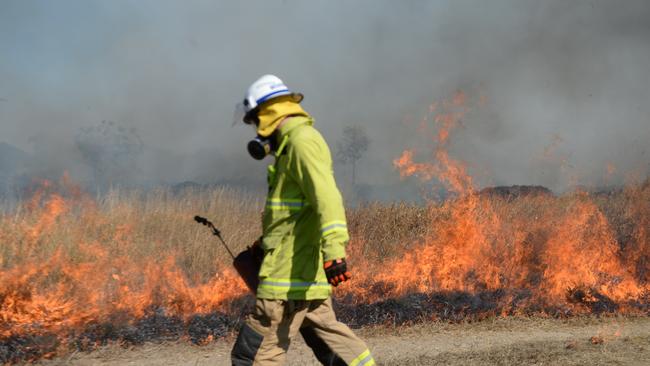
The work is part of a number of fire preparedness efforts across the Southern Moreton Bay Islands ahead of fire season.
Other works have included: six prescribed burns each on Russell and Macleay islands; more than 300,000 sqm of land cleared of fire fuel loads; the creation of 23 new fire trails at Russell Island, spanning 8km; and the distribution of fire signage and information for locals.
More from the Redlands:
Fire strike teams protect the Redlands
Mount Cotton fires up campaign for rural station
Macleay Island organisation leads the way on child mental health
The council also announced design work was underway for a link on Glendale Rd from Rocky Point to Sandy Beach while a secondary evacuation route north of Sandy Beach Rd was also being considered.
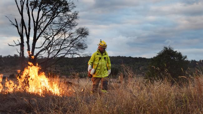
Cr Williams said other 2019 fire preparedness efforts across the islands included clearing reduction zones, slashing blocks, controlled burns, community education campaigns and new signage.
They follow calls from the Mayor for the State Government to simplify vegetation clearing laws so that landowners trying to protect their properties from fire could easier understand the law.
Division 5 Councillor Mark Edwards said the works, were a timely reminder for people to also take their own precautions.
“Council continues significant disaster preparation works, and to collaborate with other levels of government, to ensure we are ready of the storm and bushfire season ahead of us,” Cr Edwards said.
“As residents we all need to be part of that collaboration, and take household measures to ensure the safety of our loved ones and assets.
“It is important that all residents, but particularly islanders who have the added complexity of geographic isolation, take the time now to prepare their homes and set up an emergency kit and plan.
“Knowing evacuation routes in advance, such as the additional one we are creating now along Lagoon Rd, could make all the difference in an emergency situation.
“I encourage everyone to jump on to council’s dedicated Disaster Dashboard disaster.redland.qld.gov.au for details on how to be prepared for what could be testing season ahead.”
Tips for helping to fireproof your property include:
■ Keeping grass and undergrowth trimmed
■ Raking up and reduce leaf litter and overgrown shrubs
■ Removing branches overhanging buildings and leaf litter from roofs and gutters
■ Storing fuels and chemicals away from dwellings
■ Moving woodpiles away from buildings
■ Preventing embers from entering a building by sealing gaps, vents and roof spaces
■ Displaying house numbers clearly and provide access for fire trucks.
FOLLOW REDLANDS COMMUNITY NEWS ON FACEBOOK

‘Embarrassing’: Aussie man’s war on popular car brand
A driver is taking on a giant after the carmaker admitted to a defect – but refuses fix it.

Mum’s spiral into drugs, crime after horror island fire killed five sons
A mother who lost five children and her partner in a ferocious Russell Island house fire has faced court on drugs charges in tears, vowing to rebuild her life.