
Bureau of Meteorology reveals extent of Tropical Cyclone Kirrily
While Townsville was spared some of the worst rain and wind during Tropical Cyclone Kirrily, other communities were not so lucky.

Townsville
Don't miss out on the headlines from Townsville. Followed categories will be added to My News.
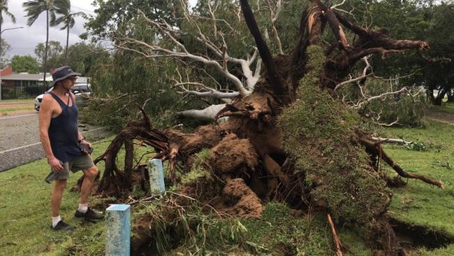
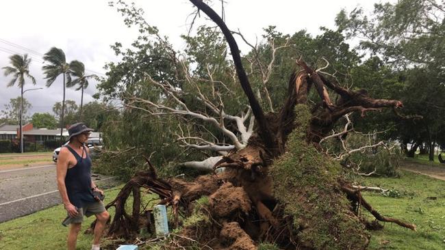
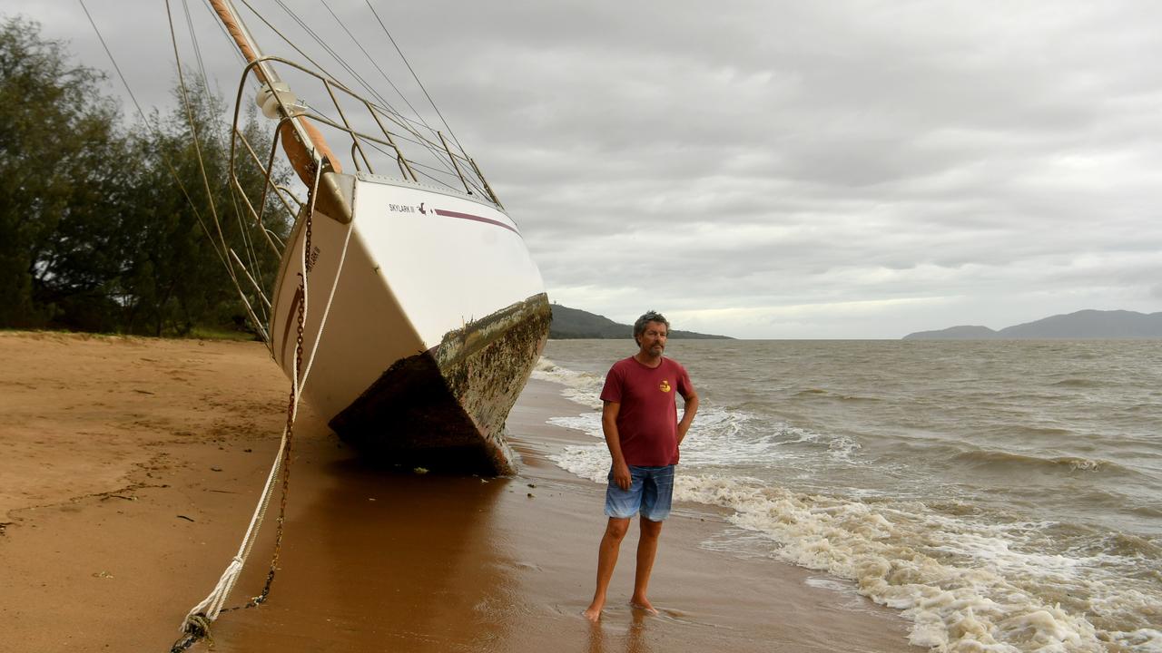
Ex-tropical cyclone Kirrily is making its way towards the Northern Territory border as North Queenslanders clean up debris and wait for power to be restored.
The cyclone made landfall on Thursday night as a category 2 system, after being downgraded from a category 3.
North West Queensland communities of Hughenden, Cloncurry, Julia Creek and Mount Isa are expected to receive rain as the system moves west.
Bureau of Meteorology community information officer Daniel Hayes said the highest wind gusts were recorded on the Flinders Reef at 143km per hour just before midday but by the time it reached Townsville, it had lost some of its power.
The strongest winds recorded on land were at Alva Beach at 107km per hour.
Cape Ferguson also experienced wind speeds up to 106km per hour.
In Townsville, Mount Stuart had the strongest wind gusts at 100km per hour around 7.30pm.
Residents have said there was very little rain associated with the system, however Mr Hayes said there were areas to the north of Townsville that experiences high rainfall totals.
“We saw some falls over 150mm out of the system as it moves through,” he said.
Mr Hayes added that this was in higher areas, on hills and ranges.
Running Creek, south of Ingham, recorded 188mm, while Mount Garnet, behind Innisfail, recorded 169mm.

Mr Hayes said the system had now pushed through into the Northern Goldfields, with some areas already hit with about 100mm of rain.
He added that the Ethridge River at Roseglen, near Georgetown, has risen rapidly and passed the major flood level, but it was now falling.
Mr Hayes said the system was still moving quickly, and it had crossed on Thursday night at about 20-25km per hour.
“It is expected to slow later this evening as it approaches the northwestern parts of the Central West district,” he said.
Mr Hayes added there could be a few showers across the region today, but there was not expected to be a big deluge to follow in the Townsville area.
More Coverage


Originally published as Bureau of Meteorology reveals extent of Tropical Cyclone Kirrily

Bold ideas to boost Townsville tourism sector
Outlining areas of growth that could benefit Townsville’s tourism , one panellist at the Future Townsville event put forward a bold statement that the city needs “ten more hotels now”.

Townsville’s liveability grade shows room for improvement
Giving Townsville the grade of “B, B+ at best”, in terms of liveability compared to other regional cities, the keynote speaker at the Future Townsville event said the city needs to make better decisions now.