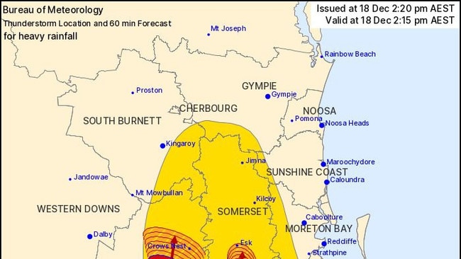
Severe thunderstorm warning issued for Eastern Darling Downs
Severe thunderstorm warnings are in place for parts of the Darling Downs with heavy rainfall and consistent rainfall predicted across an already sodden region.

News
Don't miss out on the headlines from News. Followed categories will be added to My News.
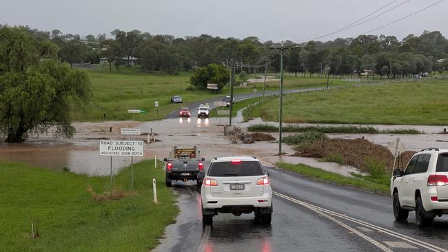
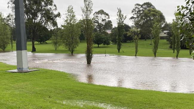
Severe thunderstorms and heavy rain caused flash flooding and prompted emergency services to issue emergency alerts across parts of western Queensland.
Flooding hit parts of the Western Downs overnight on Wednesday, primarily Jandowae Creek near Dalby as Queensland Police warned residents in low lying areas to “prepare now” for rising water levels.
Police were called to a car in water at Jandowae Thursday morning, but the occupants managed to get themselves free and walk to safety.
In the South Burnett, parts of the Burnett and D’Aguilar highways were closed on Wednesday night due to localised flooding between Kingaroy and Cooyar.
Two vehicles were trapped in floodwaters on Murgon-Gayndah Rd in Merlwood about 7.40pm.
“One person was trapped in a vehicle and was pulled out of flood waters” the spokeswoman said.
“In the second vehicle two adults and one child were safely moved by swift water crews to higher ground and out of floodwater. All persons have been safely removed from the vehicle.”
Further south, a man was pulled from floodwaters by passers-by after he became trapped in rising waters in the Lockyer Valley about 5.30pm.
It’s understood a man became trapped on Jones Rd in Withcott.

Heavy rainfall totals were recorded across the Darling Downs, Toowoomba region overnight on Wednesday, with 67mm falling in just an hour at Moodlu while 70mm was recorded in Highfields in just half an hour.
Toowoomba recorded 45mm in just half an hour to 2pm Wednesday.
The severe thunderstorms also caused disruptions across Toowoomba, with reports of a tree falling on powerlines in Stuart St, North Toowoomba on Wednesday afternoon, a QFD spokesman said.
The heavy rain eased into Thursday with conditions forecast to be mostly dry for the remainder of the week.

“The next few days should be a lot fresher for the Darling Downs and mostly dry,” Bureau of Meteorology senior forecaster Felim Hanniffy said.
“We could see just the slight chance of showers and isolated thunderstorms developing later in the weekend and early next week.”
The Bureau said the heavy rainfall was being caused by deep tropical moisture across eastern Queensland and a slow moving upper level low pressure system.
Mr Hanniffy said that as we move into next week conditions would be mostly dry with some shower activity forecast for Monday afternoon.
Temperatures for the Darling Downs for Christmas Day on Wednesday are expected to be slightly above the average, and the weather mostly dry.
More Coverage
Originally published as Severe thunderstorm warning issued for Eastern Darling Downs


