Qld weather: Major flood warnings, emergency alert after more heavy rain
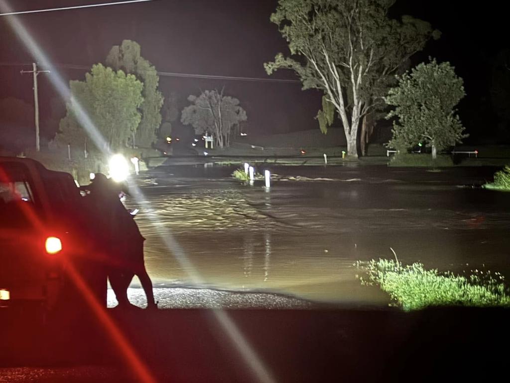
Emergency personnel were working to rescue a motorist from the roof of their vehicle as flooding continued to wreak havoc in southern Queensland on Thursday night.
QLD weather news
Don't miss out on the headlines from QLD weather news. Followed categories will be added to My News.
Emergency personnel were working to rescue a motorist from the roof of their vehicle as flooding continued to wreak havoc in southern Queensland on Thursday night.
The vehicle became submerged in floodwaters at North Gregory near Bundaberg about 8.20pm.
Multiple swiftwater and fire crews attended, with the man thrown a lifejacket as efforts continued.
SCROLL DOWN FOR THE LATEST FLOOD WARNINGS
In the Far North, parts of the Bruce Highway were closed due to flooding at Giru, 60km South of Townsville.
A tropical low was expected to form by Friday as the wet weather moved north, triggering heavy falls and thunderstorms.
But the low was expected to move out into the Coral Sea and not pose a cyclone risk, with fine weather finally returning to the southeast by the weekend.
“Warn neighbours, secure belongings and enact your emergency plan,” the alert said.
Police were called to a car in water at Jandowae this morning, but the occupants managed to get themselves free and walk to safety.
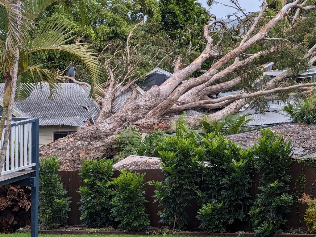
A Sunshine Coast family has had a lucky escape after their home was crushed by a massive tree overnight while they were inside.
A Queensland Fire Department spokesman said the tree fell onto a home on Centenary Heights Rd, near the corner of Warrack St, Coolum, about 9.30pm last night, causing significant damage.
State Emergency Services (SES) received 145 calls for help between Wednesday morning and 2.30am on Thursday.
FULL LIST: QUEENSLAND FLOOD ROAD CLOSURES
The most calls for help were in Brisbane (25) and City of Moreton Bay areas (23).
Majority of calls were sandbagging and tarping, and 10 per cent of calls were for fallen trees.
A “watch and act” emergency alert was issued on Wednesday night for the South Burnett region, with residents advised to be wary of flash flooding.
Amberley in Ipswich has recorded 191mm of rain in the 20 hours to 5am on Thursday, while Upper Springbrook near the NSW border (120mm) Kobble Creek near Dayboro (130mm) and Mackay (105mm) have also received significant rainfall.
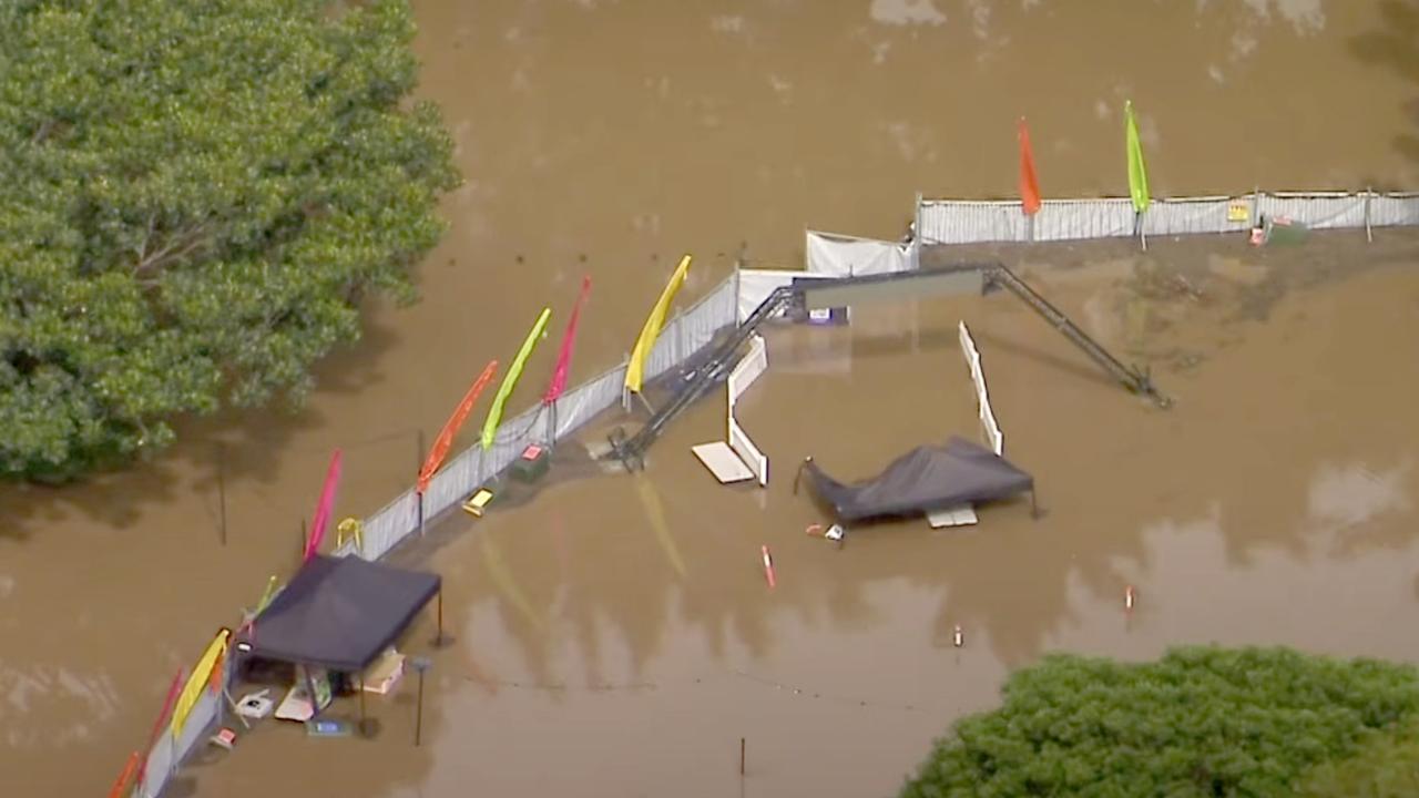
A major flood warning is in place for the Logan River, south of Brisbane, as river level rises are occurring downstream of Beaudesert.
“Moderate to heavy rainfall during Tuesday and Wednesday has caused minor to moderate flooding in upper parts of the Logan River catchment,” the warning from the Bureau of Meteorology said.
“Moderate flooding is occurring along the Logan River at Beaudesert, with an expected peak around the major flood level early Thursday morning.”
Multiple minor flood warnings are in also place for rivers across the southeast and along the east coast, from the Don River near Bowen, to Baffle Creek near Gladstone, to the Bremer River and Warrill Creek, west of Brisbane.
A lot of the most severe weather moved north overnight after drenching South East Queensland for more than two days, with thunderstorm warnings issued for Gympie after South East Queensland was smashed with slow-moving storm cells that brought 80mm-plus of rain in just one hour.
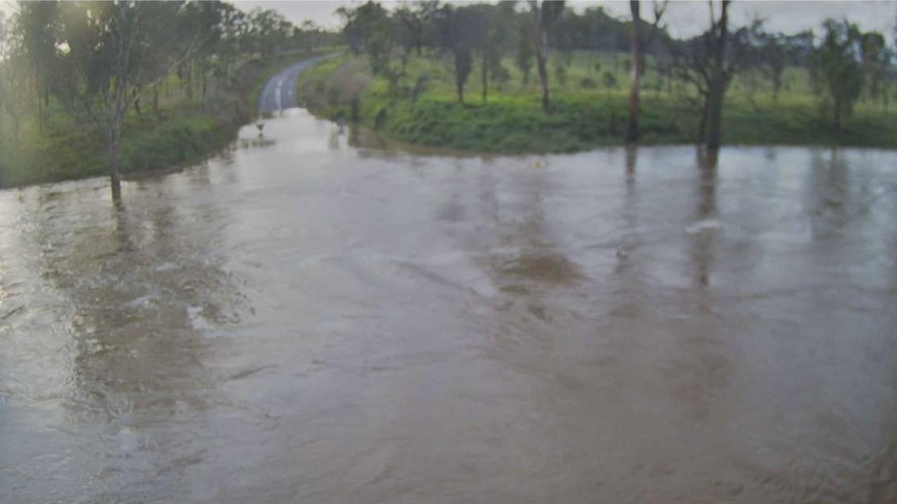
In the South Burnett, parts of the Burnett and D’Aguilar highways were closed on Wednesday night due to localised flooding between Kingaroy and Cooyar.
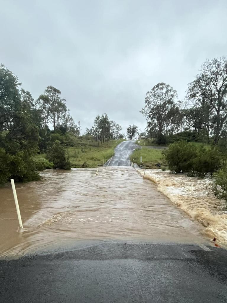
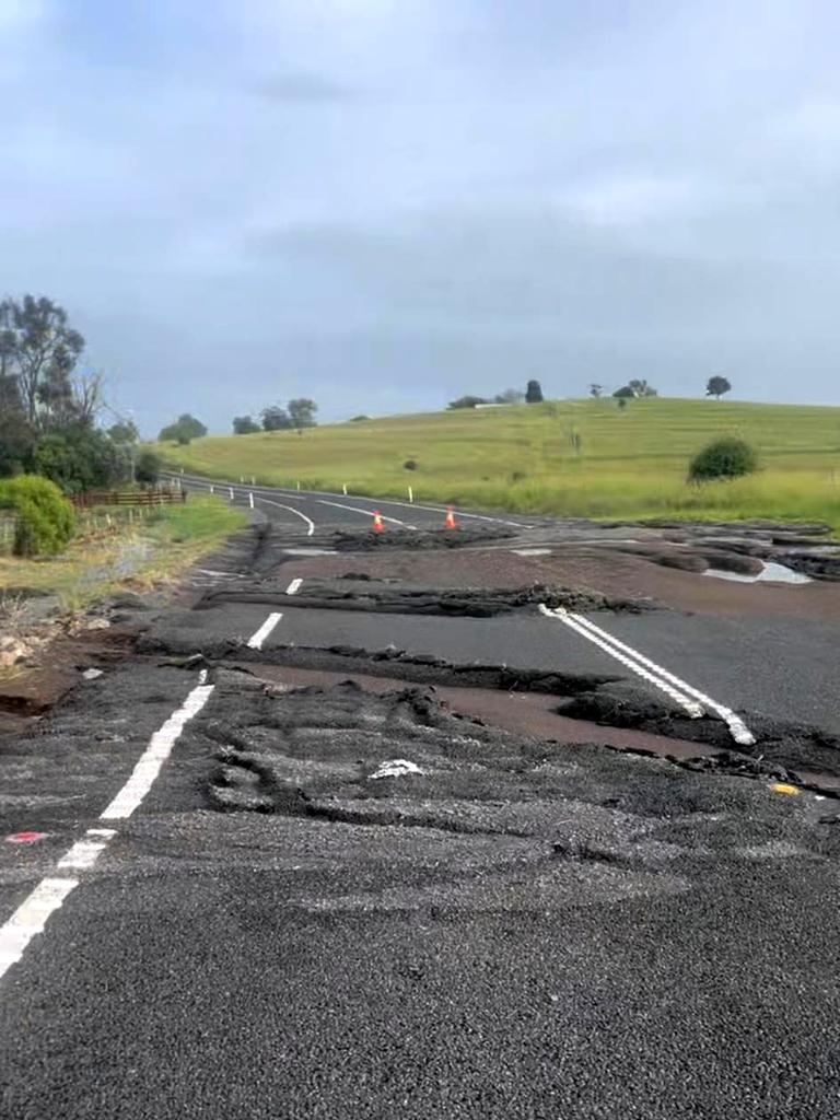
A Queensland Fire Department spokeswoman said swiftwater crews conducted two rescues at Merlwood in the South Burnett, and multiple other swiftwater jobs across the southeast.
Two vehicles were trapped in floodwaters on Murgon-Gayndah Rd in Merlwood about 7.40pm.
“One person was trapped in a vehicle and was pulled out of flood waters” the spokeswoman said.
“In the second vehicle two adults and one child were safely moved by swift water crews to higher ground and out of floodwater. All persons have been safely removed from the vehicle.”
Further south, a man was pulled from floodwaters by passers-by after he became trapped in rising waters in the Lockyer Valley about 5.30pm.
It’s understood a man became trapped on Jones Rd in Withcott.
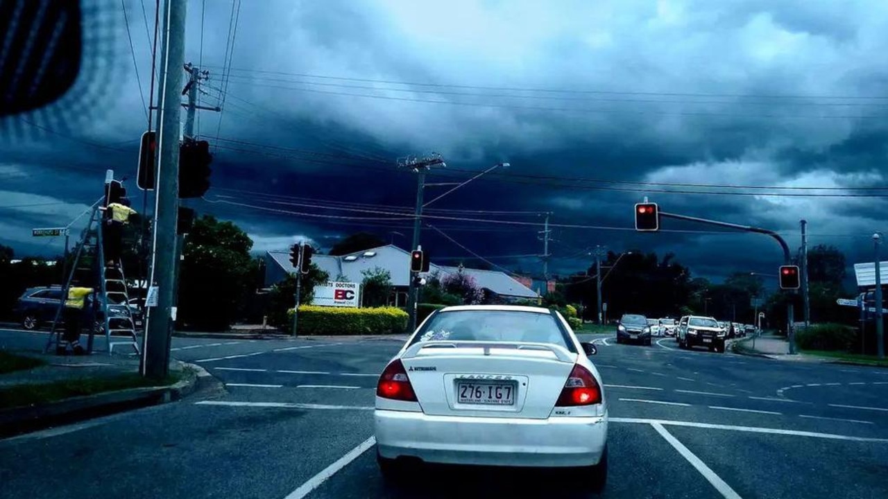
Meteorologist Miriam Bradbury from the Bureau of Meteorology said the Wednesday evening showers would start to clear in south east Queensland on Thursday, while continuing in the north.
“From 6am on Thursday, we can see this drier air pushing up across the south east, but the wet weather persists across those northern and central parts of the coast,” Ms Bradbury said.
“We’re going to see moisture being dragged in towards the north coast, (that is) really a focal point for the rain from Thursday, we also see a tropical low pressure system starting to develop over the Cape York Peninsula,” she said.
Ms Bradbury said there will be stronger winds and moisture around the trough in the north that has a low chance of becoming a tropical cyclone.
“That’s likely to occur from Thursday night into Friday as this system crosses the coast, that’s when we’re going to see the heaviest rainfall totals,” Ms Bradbury said.
“Much of northern and central Queensland can expect that continued wet weather from Friday going into the weekend as well.
“This may exacerbate our riverine flooding situation as well,” she said.
ACTIVE FLOOD WARNINGS
The following Watches/Warnings are current:
Major Flood Warning for the Logan River
Moderate Flood Warning for the Mary River
Minor Flood Warning for the Bremer River and Warrill Creek
Minor Flood Warning for the Burnett River
Minor Flood Warning for the Burrum and Cherwell Rivers Catchments
Minor Flood Warning for the Don River
Minor Flood Warning for the Paroo River (QLD)
Minor Flood Warning for the Upper Brisbane and Stanley Rivers
Minor Flood Warning for the Warrego River (QLD)
Final Flood Warning for the Baffle Creek
Final Flood Warning for the lower Barcoo River
Final Flood Warning for the Lower Condamine River
Initial Flood Watch for parts of North Tropical Coast and Central Coast catchments
RAINFALL TOTALS SINCE 9AM WEDNESDAY
Upper Springbrook – 120mm
Amberley – 198mm
Moodlu – 115mm
Upper Caboolture – 130mm
Kobble Creek – 130mm
Mt Samson – 105
Highvale – 100mm


