Supercell storms, drenching rain and flood threat as massive weather system hits Queensland
Parts of southern Queensland are bracing for two weeks of drenching rain and monster supercell storms, with the renewed threat of flooding.
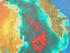
A record-breaking rain bomb is forecast to hit large parts of Queensland over the next two weeks, bringing the renewed threat of widespread flooding.
Long-term forecasts are predicting drenching rain every day over the next two weeks before peaking on Saturday, October 15, when more than 30mm is forecast for Brisbane.
Monster supercell storms and intense rain are anticipated to lash most of the east coast.
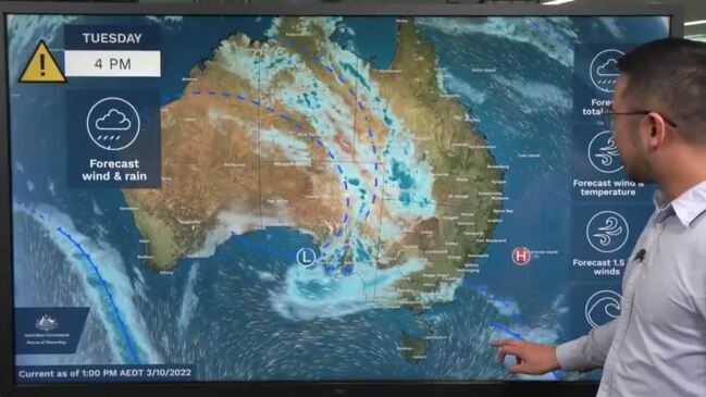
Sky News meteorologist Rob Sharpe said two significant rain bands dragging moisture from the Indian Ocean were making their way east, producing 50-100mm of rain.
He said they would intensify through outback Queensland over the next 24-48 hours.
The Bureau of Meteorology’s current forecast, which covers until Monday next week, has the heaviest rainfall occurring on Wednesday.
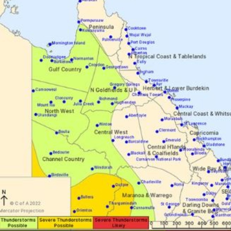
A severe weather warning has been issued for people in parts of the Central West, Channel Country and Maranoa and Warrego areas.
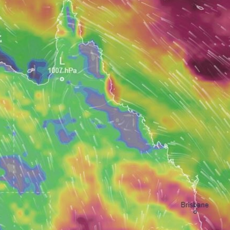
Released by BOM at 8.42am Tuesday, the alert warns that heavy rainfall is expected to develop over South West Queensland on Tuesday evening, which may lead to flash flooding.
These conditions are expected to develop overnight and then again on Wednesday afternoon, before the rain begins to ease on Wednesday evening.
Localised rainfall totals over 24 hours could potentially reach as much as 80mm in areas including Thargomindah, Cunnamulla, Quilpie, Windorah, Bulloo Downs and Eromanga.
The Bureau has said that six-hourly rainfall totals are expected to reach 20-30mm in the warning area, with 60mm also possible.
But BOM meteorologist Jonathan How said by Friday night parts of southern inland Queensland could see “widespread falls of more than 50mm”.
Mr How said “catchments are wet and rivers will respond very quickly”.

“The current flood situation shows a number of minor to major flood warnings still current across southern Queensland – this is largely due to rainfall that fell last month,” he said.
Queensland Fire and Emergency Services have reminded people that they should never attempt to travel through flood waters.
Brooke Pagel from the Bureau of Meteorology said it was “too early to tell” if rainfall records would be broken in Western Queensland.