
Southeast Qld temperatures to plunge again after foggy Friday, above-average temperatures
Fog has prompted a warning about road visibility around Brisbane on Friday morning, with temperatures then climbing 5C above average before single-digit mornings return.


QLD weather news
Don't miss out on the headlines from QLD weather news. Followed categories will be added to My News.
Southeast Queenslanders have been urged to enjoy the above average weekend temperatures as the weather bureau forecast temperatures to plunge from Monday.
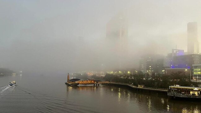
On Friday morning a blanket of fog formed west of Brisbane and flowed down the Brisbane River Valley before settling over the western suburbs and as far east as the CBD.
At 6am The Bureau of Meteorology issued a road weather alert for Brisbane as reduced visibility in fog, just 100 metres at Archerfield Airport, made road conditions dangerous.
Bureau of Meteorology senior meteorologist Harry Clark said the fog should clear by 10am.
“The fog kind of flows down the river, as weird as that sounds,” he said.
“It’s relatively localised to the city and western suburbs, we do have that road weather alert out, obviously because it creates some hazardous driving conditions through areas of poor visibility.”
Once the fog clears Mr Clark said the southeast could expect quite a warm Friday with a top of 25C in Brisbane and 26C at Ipswich, approximately 5C above average for July.
“We’re not really expecting anything in the way of showers on Friday, Saturday we could see further fog once again across southeast Queensland and potentially a little bit more widespread than this morning as well,” he said.
“And another mostly sunny and warm day to follow on Saturday, so 26C in the city on Saturday, it will be the warmest day of the lot.”
The forecaster said a south-westerly change on Sunday would move through the southeast with the chance of a shower or two.
“Much cooler south-westerly or westerly winds will set us up for a cold start to the new working week, Monday minimum temperatures will really take a dive down to 8C from Sunday morning, Ipswich down to 3C,” he said.
“I couldn’t even rule out some isolated frost returning to the far western suburbs from Monday, and that’ll be the case for much of next week … it’ll be quite sunny though once it comes through.”
Mr Clark said the cold will feel similar to last week’s cold snap despite minimum temperatures expected to be a few degrees warmer.
“It’s still going to feel quite cold, so I honestly doubt people will notice the difference too much.”
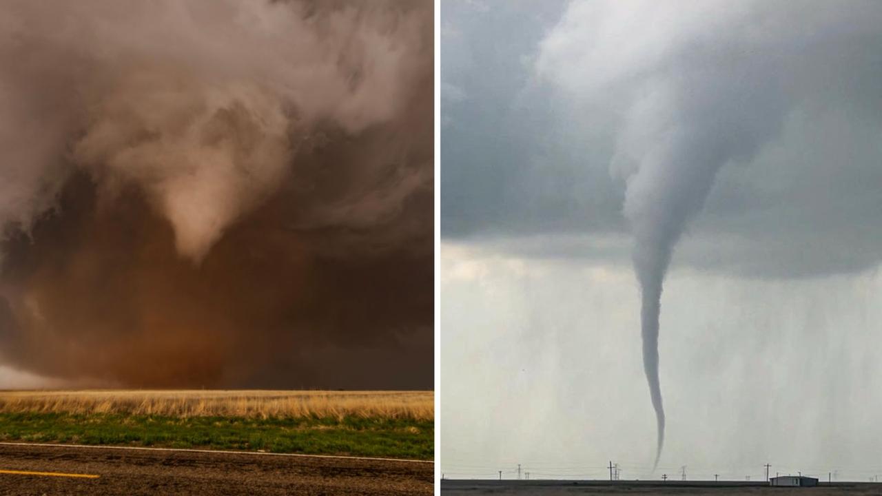
Roof tearing tornadoes captured by Queensland storm chaser
A Queensland storm chaser has captured remarkable photos of destructive tornadoes that have wreaked havoc across Texas. SEE THE PHOTOS
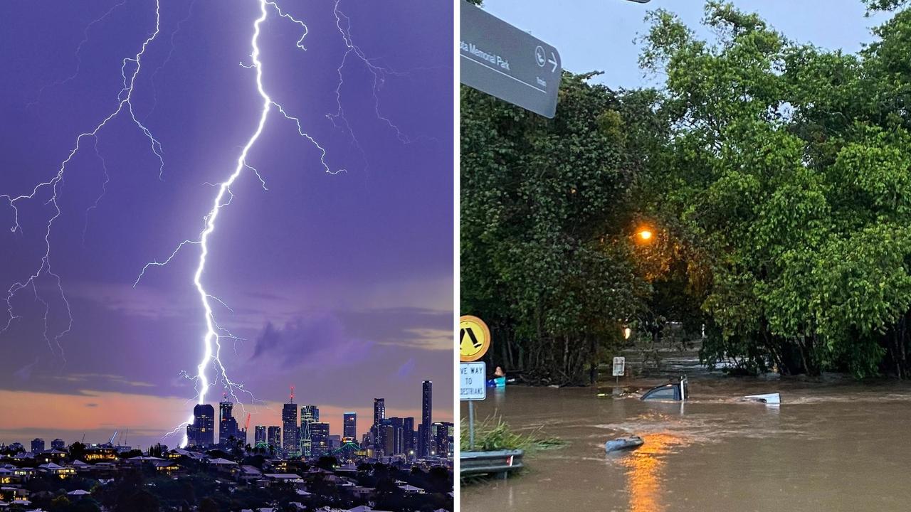
‘Everything was on fire’: Teen recounts being struck by lightning
A Southeast Queensland teen has recounted the horrifying moment she was struck by lightning during last night's wild weather, which saw her and another woman raced to hospital.