Man pulled from floodwaters as extreme weather event brews
A man is in hospital after being rescued from floodwaters in the state’s northwest Monday night. One of two police officers who went to his aid then became stranded and also needed rescuing.
A man was rescued from floodwaters in the state’s northwest late Monday night. It comes as Queensland braces for a potential 500mm deluge.
Emergency services were called to the Mt Isa Rugby Union Club - which is bordered by the swollen Leichhardt River - on Alma St just before 11pm, to reports from a passerby of a man in the water.
Two police officers were the first on scene, jumping into the river to rescue the man aged in his twenties.
One of the officers was able to get the man to safety but the other became stranded himself.
A swiftwater rescue team was dispatched and brought the second officer to dry land.
It is understood that both officers were not injured in the event but the man they rescued was taken to Mt Isa Hospital just before midnight to be treated for hypothermia.
It remains unclear how the man initially became stuck in the water.
It comes as the worst of wild weather forecast for Queensland this week started on Monday, with the weather bureau warning Townsville, the Central West, Sunshine Coast, and the Herbert-Burdekin districts could receive record May rainfall this week.
A blast of humid air from the Coral Sea is colliding with a cold front, triggering a severe weather warning for large parts of Queensland.

The weather bureau on Monday afternoon issued a severe weather warning for parts of Queensland including Central West and parts of Gulf Country, Northern Goldfields and Upper Flinders, Northwest and Channel Country Forecast Districts, with a flood watch likely to follow.
Showers and thunderstorms across the state are expected to transition into widespread areas of rain over the coming days, with some heavy rainfall expected.
The Bureau of Meteorology on Monday afternoon warned Townsville, the Central West, Herbert/Burdekin and the Sunshine Coast may receive their highest May rainfall on record this week.
“With many catchments already saturated from recent rainfall, localised flash flooding will become an increased risk this week as creeks, streams and falls are likely to respond quickly to any heavy, short-duration rainfall,” the warning stated.
“Dangerous and life-threatening flash flooding may pose a risk in some areas.
“Communities are advised there is an increased risk of landslips in these catchments.”
There is the potential for major flooding in some catchments with flood warnings continuing for many western Queensland catchments, renewed rises will be possible in these catchments this week.
A flood watch has also been issued for Western and Central Queensland, and the Central and North Tropical Queensland Coast.
A warning issued at 5.05pm said severe storms were likely to produce heavy rainfall that may lead to flash flooding over the next several hours.
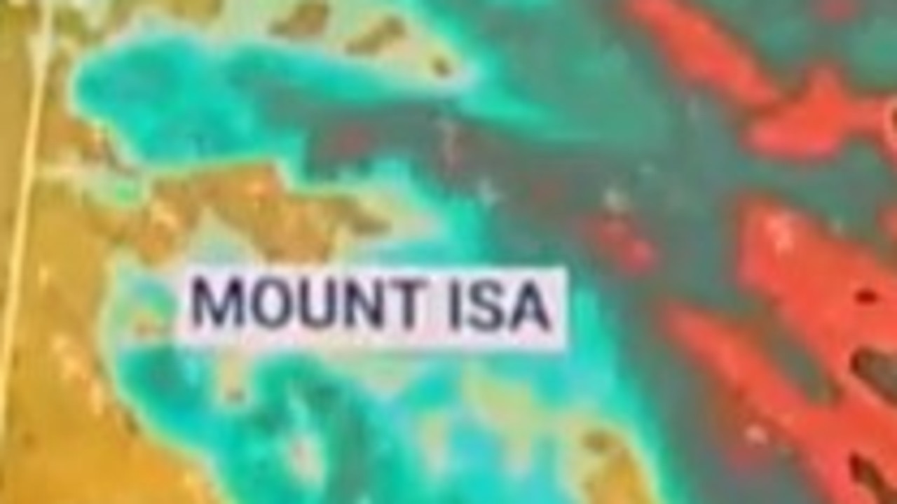
Locations which may be affected include Mount Isa, Camooweal, Dajarra, Duchess and Selwyn.
“A significant upper-level trough over Central Australia is developing a rain band over central Queensland, producing embedded thunderstorms enhanced by some weak surface troughs of low pressure,” the warning said.
The Bureau of Meteorology on Monday issued the warning for significant rainfall for the Central West and parts of Gulf Country, Northern Goldfields and Upper Flinders, Northwest and Channel Country forecast districts.
The bureau also issued an initial flood watch for several catchments across the state as it forecast Ayr and Townsville to receive up 250mm rain on Wednesday.
Sky News Weather chief meteorologist Tom Saunders said the peak of the weather event would be from Monday to Thursday and had the potential to bring 300-500mm for some places over a few days.
A coastal trough and inland trough have formed Monday, and cold air moving from the west has begun to interact with humid air being drawn in from the Coral Sea.
“(On Tuesday) we will have widespread heavy rain through the central inland parts of Queensland, some heavy rain in the northwest and north coast, but also a risk of some heavy falls through the southern part of the state including the southeast,” Mr Saunders said.
“So, much of Queensland will start to get heavy rain on Tuesday.”
The weather system will contract south with the focus of heavy rain expected to be in the southern half of the state by Thursday.
Redland City Council will open sandbagging stations in anticipation of heavy rain throughout the week.
Council staff will operate the Cleveland depot on Tuesday 10am – 6pm, and Wednesday to Friday from 7am – 6pm.
Self-service sandbagging facilities will be made available from 10am Tuesday at Dunwich on North Stradbroke Island, as well as at depots on Russell and Macleay Islands.
Residents are asked to bring a shovel to the self-service depots.


