
SEQ weather: SEQ set to be smashed by severe storms after blistering heat
South East Queensland could be hit with another round of potentially severe storms with temperatures set to soar by up to 6C above average.

QLD weather news
Don't miss out on the headlines from QLD weather news. Followed categories will be added to My News.
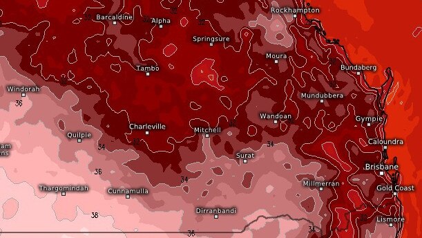
Temperatures are expected to soar by up to 6C above average over the weekend with the increased heat set to trigger potentially severe shower and storm activity.
Bureau of Meteorology forecaster Patch Clapp said Brisbane had reached 34C on Thursday which was 4C above average for this time of year.
Mr Clapp said Brisbane’s average February temperature is 30.2C but said the spike at the weekend could be between 2-6C above.
“That will continue through to Saturday where it’ll reach 34C but then it will drop back to 29 degrees for Sunday,” Mr Clapp said.
“That is fairly consistent across the South East.”
Mr Clapp said the spike in temperatures was formed from a build-up of heat that had carried over from the west to the eastern coastal areas.
“Alongside the heat we will see some severe shower and storm activity from Saturday across south east Queensland,” he said.
But Mr Clapp said Sunday could contain heavier rainfalls between 20 to 50mm in a short time span.
“Saturday will likely see rainfalls of about 7mm,” he said.
Meanwhile, areas in the Northern Tropical Coast between Innisfail and Ayr could be hit with rainfall reaching more than 100mm.
“Places like Ingham have already received about 100mm but because this area has received so much rain we are keeping an eye on it,” he said.
“Because there is that potential for flash flooding.”


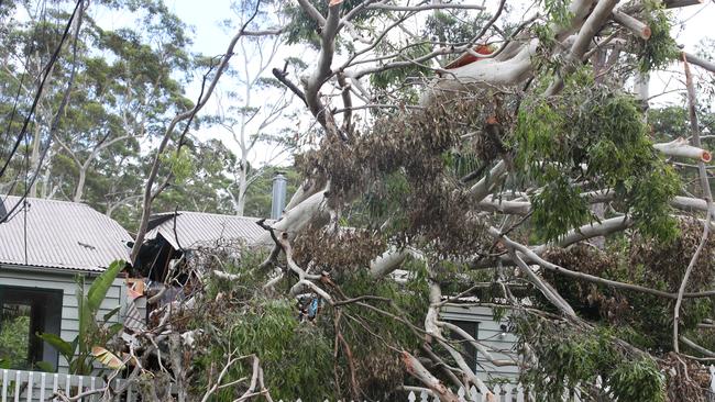
Brisbane suburb’s coldest start in six years as brutal polar blast brings epic frost
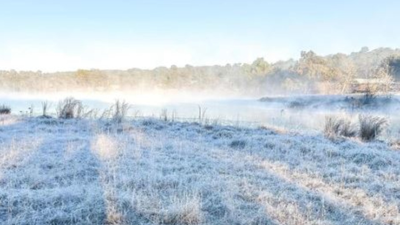
The brutal cold snap continues across Queensland this morning with temperatures again plunging well below zero.
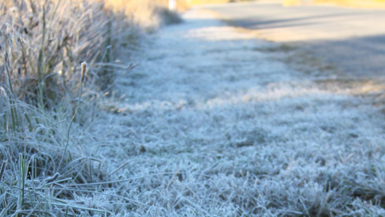
Feels like -9.4C: Brutal icy blast as southern Qld’s big freeze deepens
Southern Queensland is waking up to another freezing morning, with ‘feels like’ temperatures below -9C and some areas experiencing their coldest starts in five years.