
Qld weather: ‘Oppressive’ humidity hits Qld as state braces for severe heatwave
Severe thunderstorms have hit parts of South East Queensland as the humidity spikes to ‘oppressive’ levels and the state braces for a heatwave.

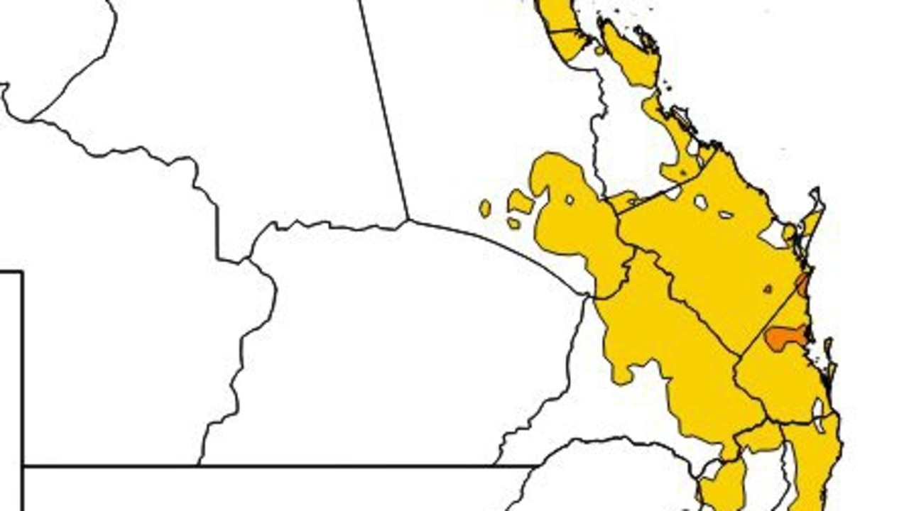
Residents in parts of South East Queensland can brace for another steamy day, with a heatwave warning current, oppressive humidity to continue and little relief on the way.
Overnight temperatures in Brisbane dropped only to 24.9C, with today’s maximum expected to climb in to the low 30s.
The maximum temperatures could climb to 36C by the end of the week, with Bureau of Meteorology forecaster Brooke Pagel saying humidity levels would continue to spike and that Queenslanders should be ready for an “oppressive dew point”.
The higher the dew point is to the actual temperature the worse the ‘hot’ feeling, Ms Pagel explained.
“That means there’s more moisture in the air and it’s going to feel a lot hotter.”
“Technically it is a temperature to which air must be cooled to become saturated with water vapour. It’s a more accurate way of feeling the humidity.”
The dew point is expected to reach above 24C on Thursday and Friday.
“Anything above 24C is what we call oppressive, we say it’s quite oppressive because there’s a lot of heat stress making it very uncomfortable and we run the risk of heat stroke,” she said.
Ms Pagel said the dew point in Brisbane on Wednesday was about 21C, meaning conditions were already very sweaty.
The Wide Bay was added to a growing list of locales that had “oppressive dew points”, with South East Queensland hot spots Brisbane, Caboolture and Caloundra all expecting severe heatwave conditions in coming days, while most of eastern Queensland will experience a low-intensity heatwave.
“Maximum temperatures are in the high 20s to low 30s but they will be increasing to mid 30s on Friday and Saturday,” Ms Pagel said.
🥵Afternoon Sweat-O-Meter check shows oppressive dew points spreading down the Qld Coast. #Heatwave warning continues in #SEQld and has been extended to include the Wide Bay. Little relief is expected till Sunday. Read more about dew point: https://t.co/KAXKtlCByopic.twitter.com/Cvn7u9S8rn
— Bureau of Meteorology, Queensland (@BOM_Qld) February 1, 2023
Ms Pagel had warned there would be no relief overnight.
“The minimum temperatures are in the low to mid 20s,” she said.
“Basically there’s no chance to cool overnight and that’s when heat stress can be a risk factor.”
She said in Brisbane average temperatures were around 29C but by the end of the week it could soar to 36C.
“We have a trough system that’s moving through, it started off in the south west, it’s a horse shoe trough that’s extending from WA through the NT and then through the tropics and then down to South East Queensland,” she said.
“Along that trough it draws that moisture from the north through to South East Queensland.
“So we are feeling a similar humidity to what they feel in the tropics.
Ms Pagel said there was a chance of storms in Brisbane in coming days.
“We do have the chance of severe storms from South East Queensland and that extends to Wide Bay and inland parts of Darling Downs and includes Brisbane and Sunshine Coast,” she said.
“It’s more looking like in the afternoons if they do progress.”
Ms Pagel said there would be some relief by this weekend.
“We are expecting a cool change to come through from Sunday, once this trough moves offshore we are expecting that humidity and temperature conditions easing,” she said.
“It’s a lot cooler and drier, it will go back down to about average.”
Queensland Fire and Emergency Services has issued a high danger forecast for parts of southwest Queensland over the coming days.

Read related topics:Weather

