Qld weather: Southeast caught out by surprise monster rain bomb
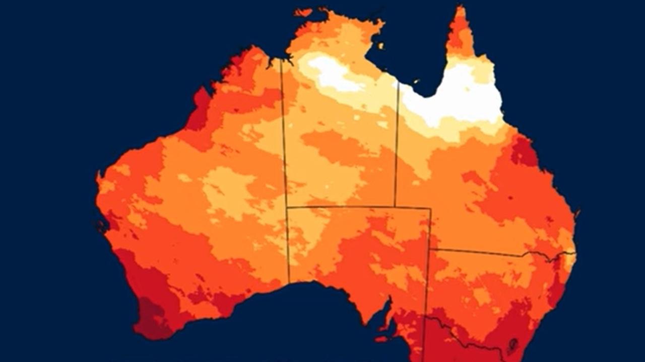
South East Queensland has woken to stifling humidity following explosive downpours on Sunday while Brisbane is on track to records its hottest spring on record.
QLD weather news
Don't miss out on the headlines from QLD weather news. Followed categories will be added to My News.
Record-high humidity has Brisbane’s east on track to record its hottest spring ever, with the average temperature a touch above 21.5C – almost 1C above the long-term average.
And there appears to be little reprieve this week with Brisbane and Coolangatta sitting at 88 per cent humidity this morning, while it reached 96 per cent at Double Island Point.
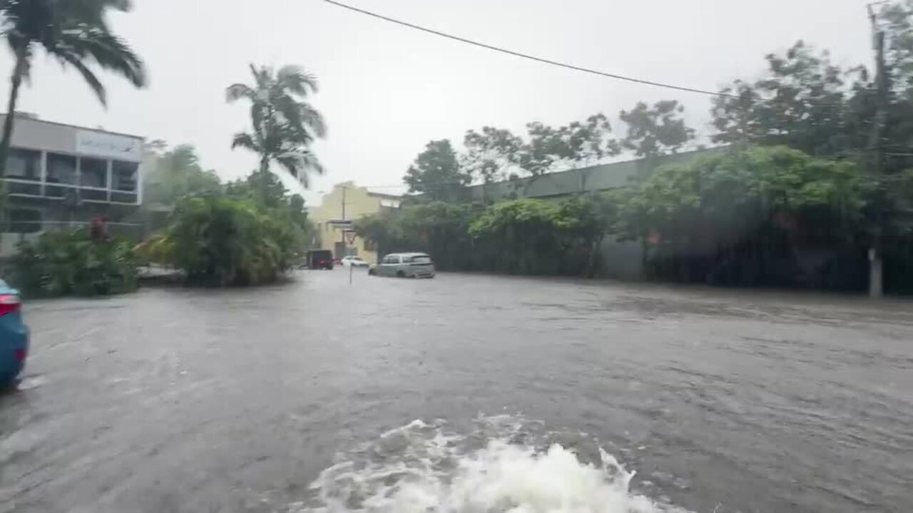
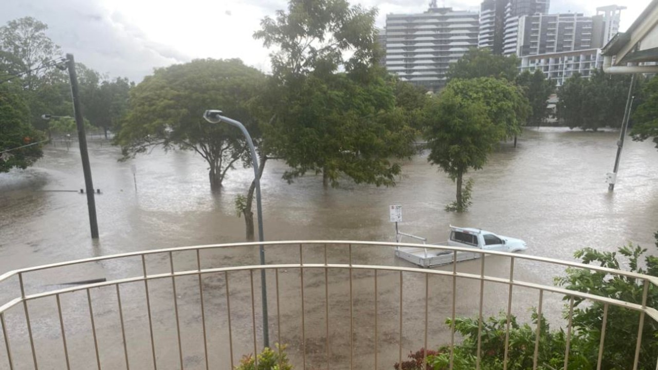
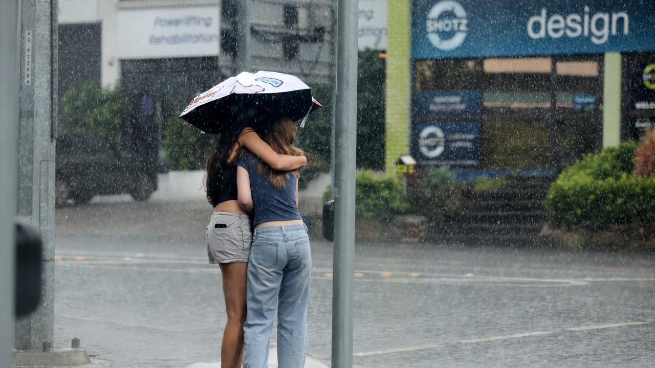
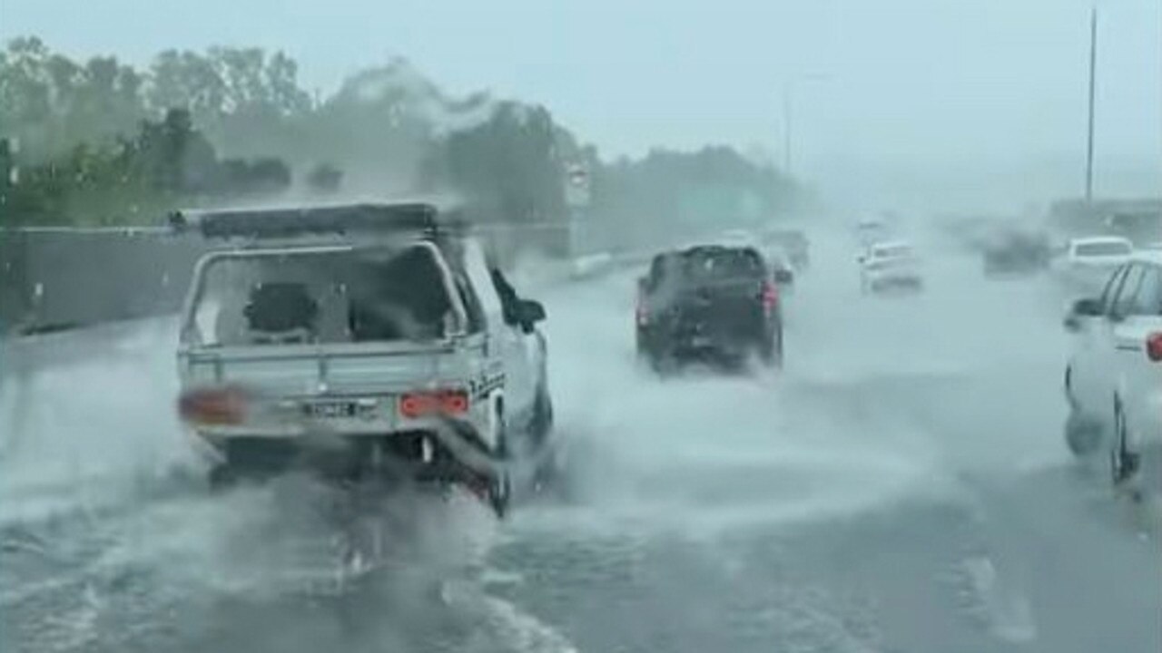
It comes after streets rapidly turned into rivers on Sunday as more than five times the forecast amount of rain fell in some parts, catching thousands off guard.
Weatherzone’s Quincy Tut said the major contributor to the spring temperature record has been the minimum temperatures, which averaged 17.2C over the spring season, and were elevated by cloud cover, precipitation, and most notably, humidity.
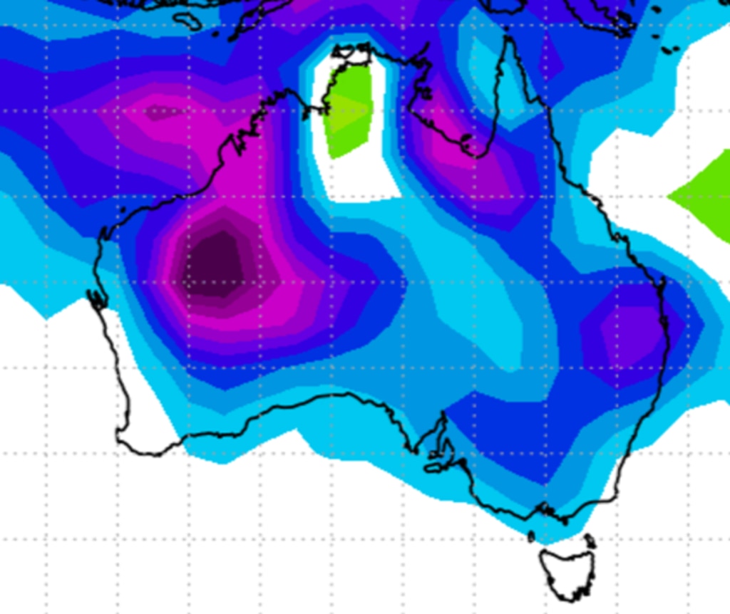
He said humidity in Brisbane was the highest for all capital cities over spring, while the Brisbane Airport recorded its most humid spring since 2004.
It was also the hottest November since 2014, with an overall average of 23.8ºC and minimum average of 20.5C.
On Friday, the Bureau of Meteorology forecast weekend rainfall to sit between 10mm and 30mm, with areas impacted by isolated storms expected to receive up to 50mm of rain.
However, the reality of Sunday’s storms was far more extreme, with multiple areas south and west of Brisbane copping more than 100mm, with some receiving more than 200mm.
Upper Springbrook on the Gold Coast topped the rainfall totals, with a whopping 266mm, while other significant falls occurred at Upper Tallebudgera (226mm), Little Nerang Dam (216mm) and Rosewood near Ipswich (123mm).
Brisbane’s CBD copped 55mm in little more than 30 minutes, while closer to 100mm fell in surrounding suburbs, leading to flash flooding on multiple city streets on Sunday afternoon
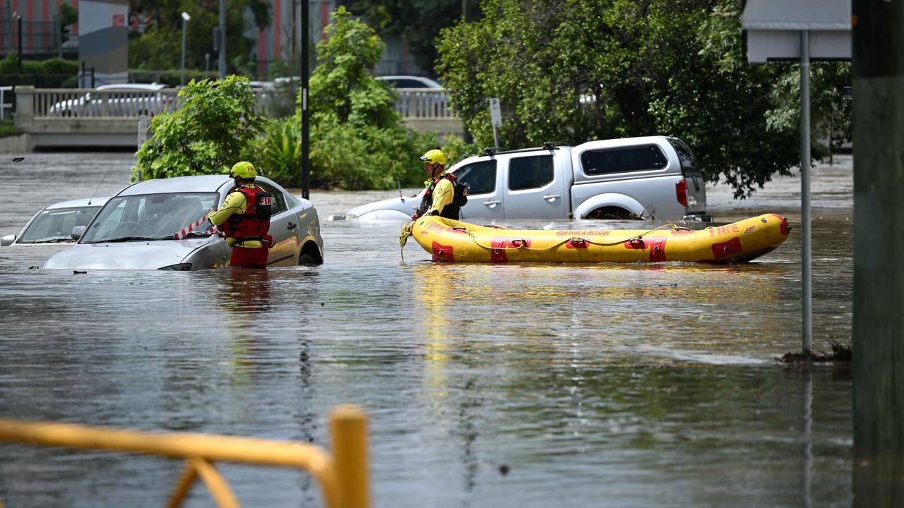
A swift water rescue was carried out to save a woman who had to escape onto the roof of her car in floodwaters on Sunday night.
Swift water rescue crews were called to the woman who was trapped onto the roof of her car after she had driven into flood waters on Plunkett Road at Tamborine just before 8pm.
Technicians entered the water and freed the woman in her 30s. Paramedics assessed the patient on scene. She had no injuries and did not require transportation to hospital.
Flooding has begun to subside in the southeast’s major river systems, with the Logan and Albert Rivers reduced to moderate flooding.

“We still have moderate flooding at the Logan and the Albert (rivers) they have come down the Bremer River and the Warrill Creek down to minor flooding,” the Bureau of Meteorology’s Daniel Hayes said.
“They all responded quite quickly to some of those very intense rainfalls. So we did have some areas that pushed up into major flooding over the weekend.
“That has largely pushed through, and it is easing, given that we do expect to see less rainfall through the area for the next few days.
“The southeast should be pretty good for this week. So we should see those rivers that are currently under flood warnings continue to decrease.”
Northern Queensland was due to be smashed with more intense weather from Monday, with a severe thunderstorm warning issued for parts of the Gulf Country, Northern Goldfields, Upper Flinders and Peninsula Forecast Districts.
Severe thunderstorms were likely to produce heavy rainfall that may lead to flash flooding in the warning area over the next several hours. Locations that may be affected include Georgetown and Croydon.
Fifty millimetres of rain was recorded in 30 minutes to 6:45am on Monday at Brennans Knob.
The forecast for the beginning of the week in the southeast reveals conditions should be significantly drier than the weekend, with a slight chance of showers tipped for the southeast, but there may still be some thunderstorms around.
Mr Hayes said while the southeast wasn’t in the firing line, inland and western parts of Queensland were expected to be hit by thunderstorms from Tuesday.
“Tomorrow, through the inland parts of Queensland we will have severe thunderstorms possible,” he said.
“But at this stage that’s pushing through to the western parts of the Darling Downs, more likely through the Maranoa, the Warrego and the Channel Country areas – so not pushing up into through to the southeast.
“Wednesday, we could also see some activity pushing through to the Scenic Rim and maybe towards the Gold Coast, but still not looking at much in the way of activity into the Brisbane area and the rest of the Southeast.
“But the humidity that we’ve had around and the moisture is not really going anywhere.
“We will continue to have some shower activity. We’ll also have a ridge of high pressure, which will continue to keep some north easterly breezes coming into the coast.”
“So around those coastal areas in particular, you’ll just have standard seasonal showers occurring – so the chance of rain continues pretty much through most of the week, but particularly for the southeast, it should not be as intense as what we saw over the weekend.”


