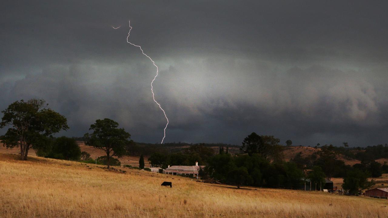
Qld weather: State’s north battered by immense rain storm
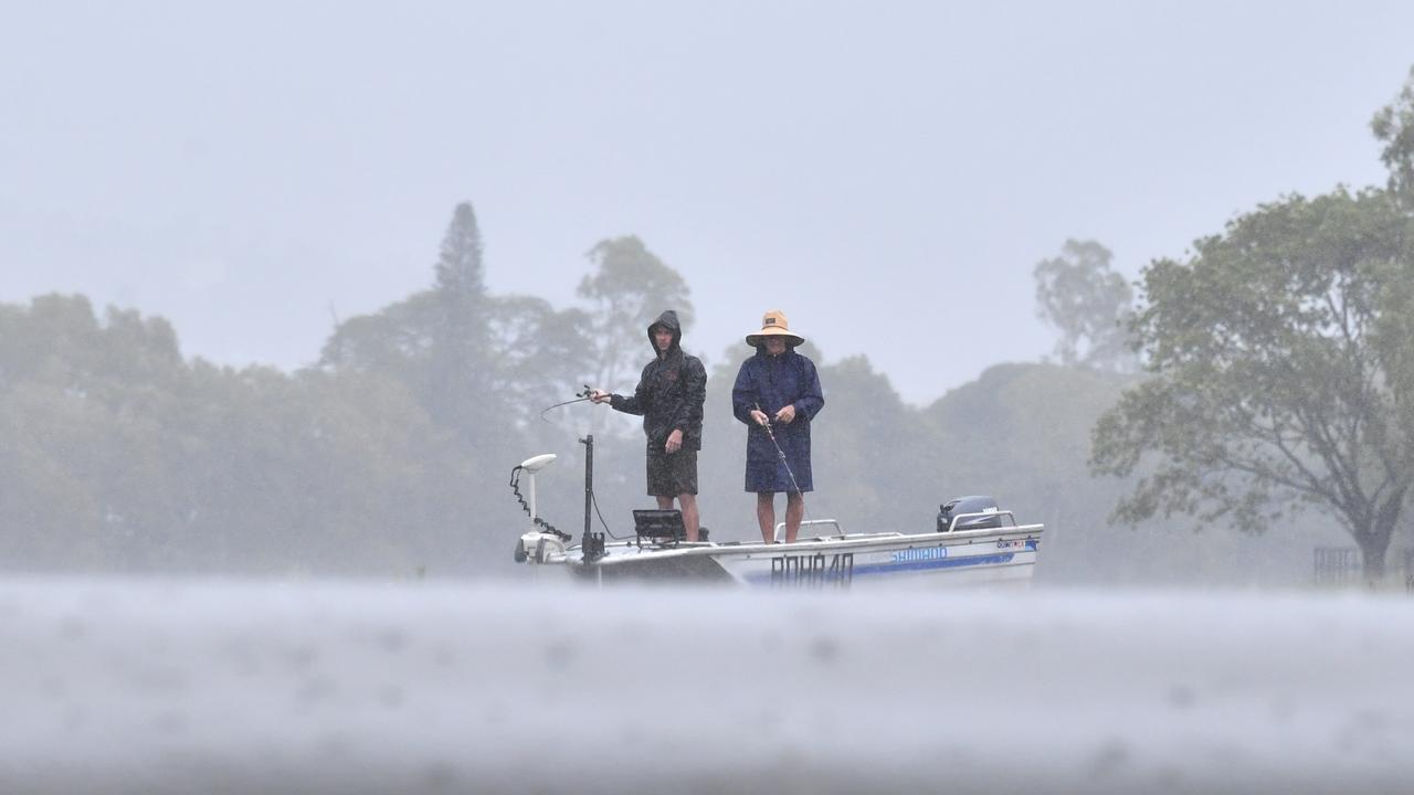
North Queensland has been hit by the heaviest December rain since 1990, as it continues to bear the brunt of a brutal storm that has dumped 346mm of rain in just 12 hours, triggering an emergency alert.
QLD weather news
Don't miss out on the headlines from QLD weather news. Followed categories will be added to My News.
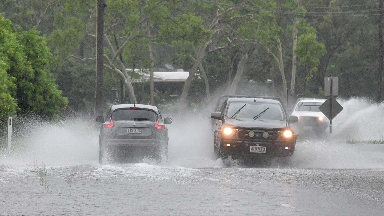
North Queensland has been smashed by the heaviest December rain since 1990, as a brutal rain storm that has dumped huge volumes of water on the region triggered an emergency alert and multiple flood warnings.
Areas around Townsville and Mackay were smashed yesterday with their highest rainfall totals in decades, with 346mm falling in on place in just 12 hours.
Following significant rainfall on Thursday night into Friday, the Bureau of Meteorology warns a trough associated with a developing tropical low over the tropical north is combining with a southeasterly surge to produce persistent showers and rain areas with embedded thunderstorms into Saturday.
“Catchments across the flood watch area are wet from recent rainfall and saturated in parts,” the warning said.
“There is significant uncertainty in the timing and location of the heaviest rainfall, though small coastal catchments may receive the highest rainfall totals.
“Localised river level rises and flash flooding are likely within the areas of heaviest rainfall.”
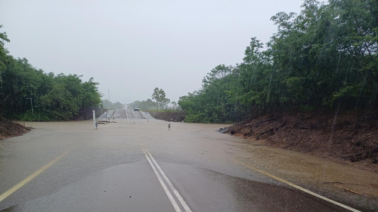
Overnight into Saturday morning, the worst-hit place was the Bureau of meteorology’s Toolakea Alert station north of Townsville, which recorded an incredible 346mm of rain in the 12 hours to 5am.
Other parts of the region to cop large rainfall totals included Proserpine, which received 240mm in the 20 hours to 5am – its heaviest December rainfall since 1990 – Mill Road Black River (238mm), Bluewater (237mm), Bushland Beach (227mm), Stony Creek (216mm) and Horseshoe Bay on Magnetic Island (203mm).
Townsville was also hit with its heaviest rains since 2009, with 127mm recorded on Friday.
At 6.18pm on Friday, Queensland Police issued an emergency alert for residents in the Townsville Council area to “prepare to leave”. It was cancelled at 11.50am on Saturday.
Flood warnings remain active across the region, with Townsville Local Disaster Management Group on Friday expressing the biggest concern for Bohle River and Bluewater Creek.
The group’s chairman Andrew Robinson said there had been significant rainfall in the city with river and creek levels steadily rising, and it was forecast for further rain on Friday evening and Saturday.
“Two of the areas we are particularly concerned about is the suburbs around the Bohle River and Bluewater Creek, with water rising there is a high likelihood of localised flooding in the next three to six hours,” he said.
“So we’re asking residents (to) assess the area now and be prepared to leave if the flooding worsens.”
Two people had to be evacuated from floodwaters by swiftwater rescue crews near Proserpine on Friday night.
The two people were rescued at 8:30pm after they became trapped in their car which washed off on the Bruce Highway at Lethebrook.
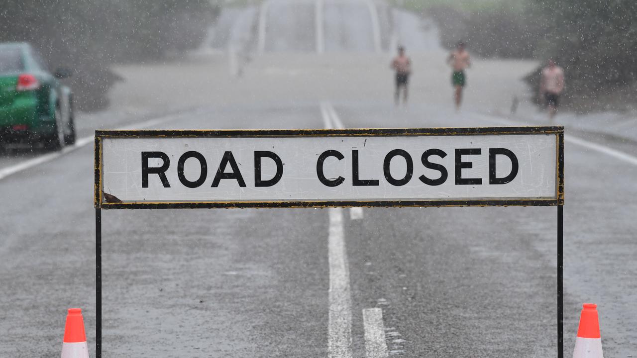
Member for Whitsunday Minister Amanda Cam has urged Queenslanders in northern and central parts of Queensland to not drive through flood waters.
Ms Cam said the state remained “well prepared” for the wet season and possible flooding in the north.
“We are well prepared in regards to the weather events and the ever changing situation in North Queensland,” she said.
“We’ve had a significant amount of rain in a very short period of time, with the Bruce Highway cut, if it’s flooded, forget it.
“That is our message to Queenslanders to stay informed, check their emergency dashboards that each local government hosts across Queensland and to monitor certainly those updated warnings.”
Moderate flood warnings remain around the Bohle River in Townsville, which peaked at 6.76 metres just before 9pm on Friday.
“The heaviest of the rains are now predicted to ease,” Bureau of Meteorology senior forecaster Felim Hanniffy said.
“As this tropical low shifts north off the coast we shouldn’t see nearly as much rainfall in Queensland this week.
“So Townsville and Cairns can expect some reprieve.”
South East Queensland can also look forward to dry, warm weather heading into Christmas.
“On Sunday we could still expect some showers further in land around the Darling Downs and Scenic Rim,” Mr Hanniffy said.
“But from Tuesday the humidity will drop and temperatures will rise overall in South East Queensland.
“So we’re forecasting a dry and sunny Christmas Day.”
RAINFALL TOTALS TO 5AM SATURDAY
Toolakea 346mm
Proserpine 240mm
Mill Road Black River 238mm
Bluewater 237mm
Bushland Beach 227mm
Stony Creek 216mm
Horseshoe Bay 203mm
ACTIVE FLOOD WARNINGS
The following Watches/Warnings are current:
Flood Watch for the North Tropical Coast and parts of the Central Coast
Moderate Flood Warning for the Bohle River and Flood Warning for the Black River and Bluewater Creek
Moderate Flood Warning for the Haughton River Catchment and Flood Warning for the Major Creek Catchment
Moderate Flood Warning for the Mary River
Initial Minor Flood Warning for the Herbert River
Minor Flood Warning for the Burnett River
Minor Flood Warning for the Don River
Minor Flood Warning for the Paroo River (QLD)
Minor Flood Warning for the Warrego River (QLD)
Flood Warning for the Pioneer River
Flood Warning for the Upper Brisbane River
Final Flood Warning for the Bremer River and Warrill Creek
Final Flood Warning for the Burrum and Cherwell Rivers Catchments
Final Flood Warning for the Logan River


