Qld weather: Two trapped in floodwaters near Mackay, emergency alert for Townsville
A weather emergency was unfolding in north Queensland on Friday night, with rescue crews called to two people trapped in a car in floodwaters near Mackay and residents in parts of Townsville told they should be prepared to leave their homes.
QLD weather news
Don't miss out on the headlines from QLD weather news. Followed categories will be added to My News.
Residents in parts of Townsville were told they should be prepared to leave their homes on Friday night amid fears of flash flooding after massive rainfall totals in north Queensland.
Further south, crews were helping two people trapped inside a car in floodwaters near Mackay.
The area has been pummelled by massive rainfall figures after a system that hammered the South East for days moved north.
From 9am on Friday morning, to late last night, several local areas had received triple figure rainfall totals.
The Bureau of Meteorology said Toolakea, north of Townsville copped 345mm, while there was 236mm at Blue Water, 225mm at Bushland Beach and 203mm at Horseshoe Bay.
An Emergency Alert Watch and Act was issued for the Townsville area at 6.15pm, with council reporting localised flooding was happening at Bohle River and Blue Water Creek, urging residents in the area to prepare to leave.
Townsville Local Disaster Management Group Chair Andrew Robinson posted a warning on their website and said residents should assess their situation and have a plan in place, if flooding worsens.
“We have already seen significant rainfall figures across the city, and with it river and creek levels steadily rising,“ he said.
“With water rising, there is a high likelihood of localised flooding in the next three to six hours, so we’re asking residents to assess the situation now and be prepared to leave if the flooding worsens.
“Residents in these areas should take measures to get ready now and move to higher ground if they are concerned about flooding in their home.
Mr Robinson warned residents to prepare an emergency kit in case they need to leave quickly, including important documentation and medication.
“Charge your mobile phones and block toilets, sinks and drains with sandbags to stop sewage backflow if you can.
“If you require evacuation assistance, contact SES on 132 500 and if you’re on the road drive to the conditions, do not put your life at risk, remember, it’s flooded, forget it.”
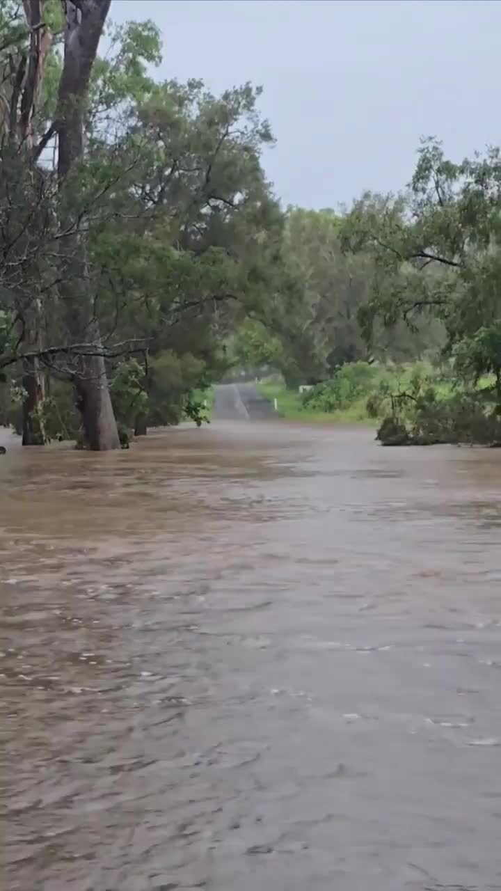
Meanwhile, swift water rescue crews were rushing to help two people trapped in a car stuck in rising floodwaters between Mackay and Proserpine.
The calls for help came in just before 7.30pm on the Bruce Highway at the Lethebrook Rd intersection at Lethebrook.
The water was initially at a stable level but soon started rising slowly and was fast flowing around the vehicle, pushing for urgent calls to help the two people.
It is understood the water had risen from the footwell level to above the headlights of the vehicle.
One of the occupants tried using an umbrella to measure the depth of the water and said the current nearly swept the umbrella from her hands.
Earlier, two drivers had to be picked up after finding themselves stuck in floodwaters on the Bruce Highway south of Proserpine.
Emergency services were called to the Goorganga Plains 7km north of Laguna Quays after receiving a report several cars were stopped by flood waters after 7.30am.
Chair of the local management group Andrew Robinson posted a warning on their website and said residents should assess their situation and have a plan in place, if flooding worsens.
SCROLL DOWN FOR THE LATEST FLOOD WARNINGS
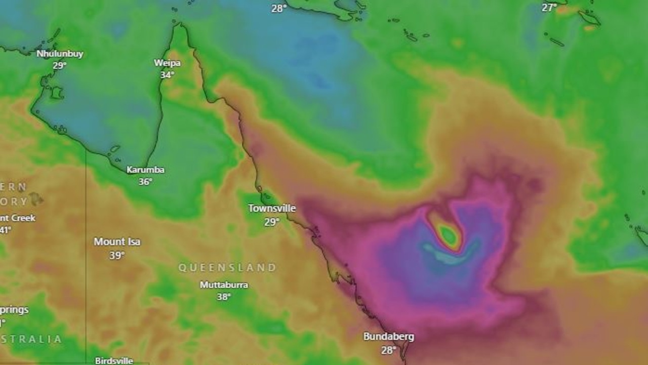
The Bureau of Meteorology says a trough associated with a developing tropical low over the tropical north is combining with a southeasterly surge to produce persistent showers and rain areas with embedded thunderstorms for parts of the Herbert and Lower Burdekin, and Central Coast and Whitsundays districts on Friday and through Saturday morning.
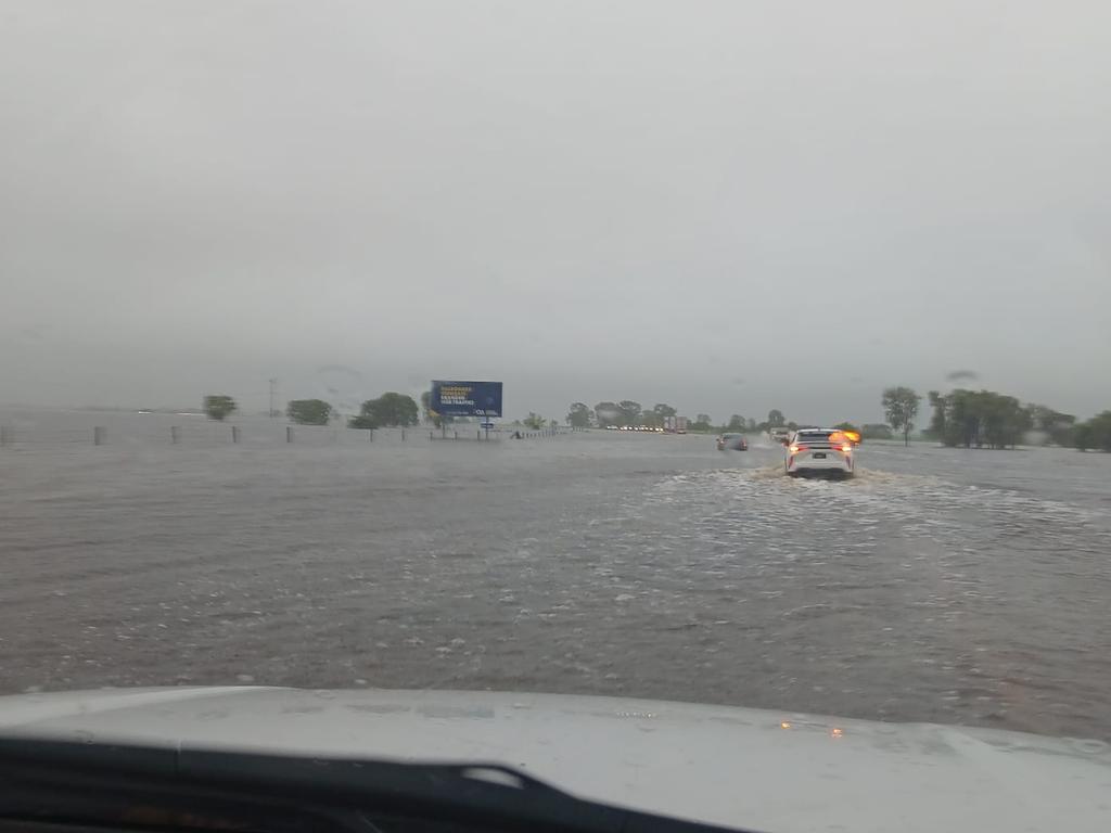
“Heavy rainfall which may lead to flash flooding is forecast to continue from near Ingham to areas to the north of Mackay today and through Saturday morning,” it said.
“Six-hourly rainfall totals between 160mm and 200mm are likely for coastal regions, and 100to 150mm for inland areas.
“Locally intense rainfall which may lead to dangerous and life-threatening flash flooding is also possible near the low’s centre over the Herbert and Lower Burdekin tonight and through Saturday morning with six-hourly rainfall totals up to 250mm, most likely near the coast.”
In the 20 hours from 9am Thursday to 5am Friday, parts of the Townsville region have been smashed by up to 267mm of rain, with a number of severe thunderstorm warnings issued early on Friday morning.
The total number of SES callouts from 6pm on Thursday to 1pm on Friday was 63, 25 in Townsville and Ayr and 11 each in Cairns and Mackay.
Most call outs were for tarping, sandbagging and fallen trees.
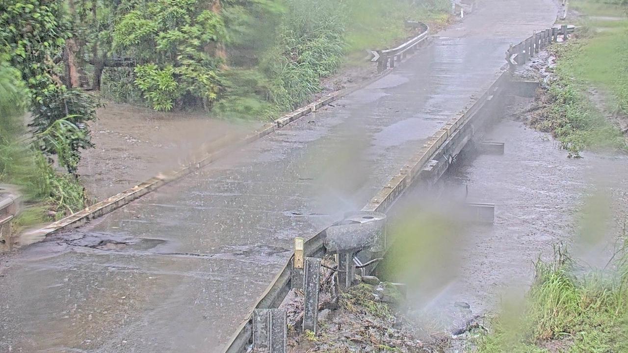
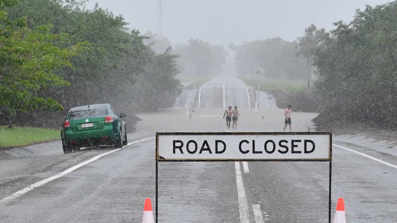
The Bruce Highway is closed at Giru, about 60km south of Townsville, due to flooding. Motorists are being urged to rethink travel plans as there is no alternative route, with Woodstock Giru Road, Giru, also closed.
A warning has been put in place for moderate flooding across the Haughton River near Giru.
“Further rain, likely heavy at times, is forecast for the remainder of Friday and into Saturday, which is very likely to cause further river and creek level rises,” the Bureau’s warning said.
“With forecast rainfall, moderate flooding is possible at Giru from Friday afternoon.
“If further heavy rainfall develops from Friday afternoon into Saturday, higher levels are possible. At this stage, the possibility of major flooding cannot be ruled out.”
“A Flood Watch is current for catchments between Cooktown and Mackay, including the Haughton River catchment.
“A Severe Weather Warning is current for parts of Herbert and Lower Burdekin and Central Coast and Whitsundays Forecast Districts, including the Haughton catchment. The situation is being closely monitored and warnings will be updated as required.”
Among the rainfall totals overnight, 121mm fell at Picnic Bay in the two hours to 11.22pm, 152mm at Antoneys Crossing in the three hours to 6.42pm, and 176mm at O’Connell in the six hours to 10pm.
Pallarenda near Townsville received a whopping 267mm of rain in the 20 hours to 5am Friday – 140mm of that in just three hours – with Upper Alligator Creek (229mm), Major Creek (215mm) and South Townsville (180mm) also drenched.
Further south, it has been a similar story in the Mackay region, with Antoneys Crossing received 191mm in the 20 hours to 5am, and multiple other locations around the city receiving over 100mm.
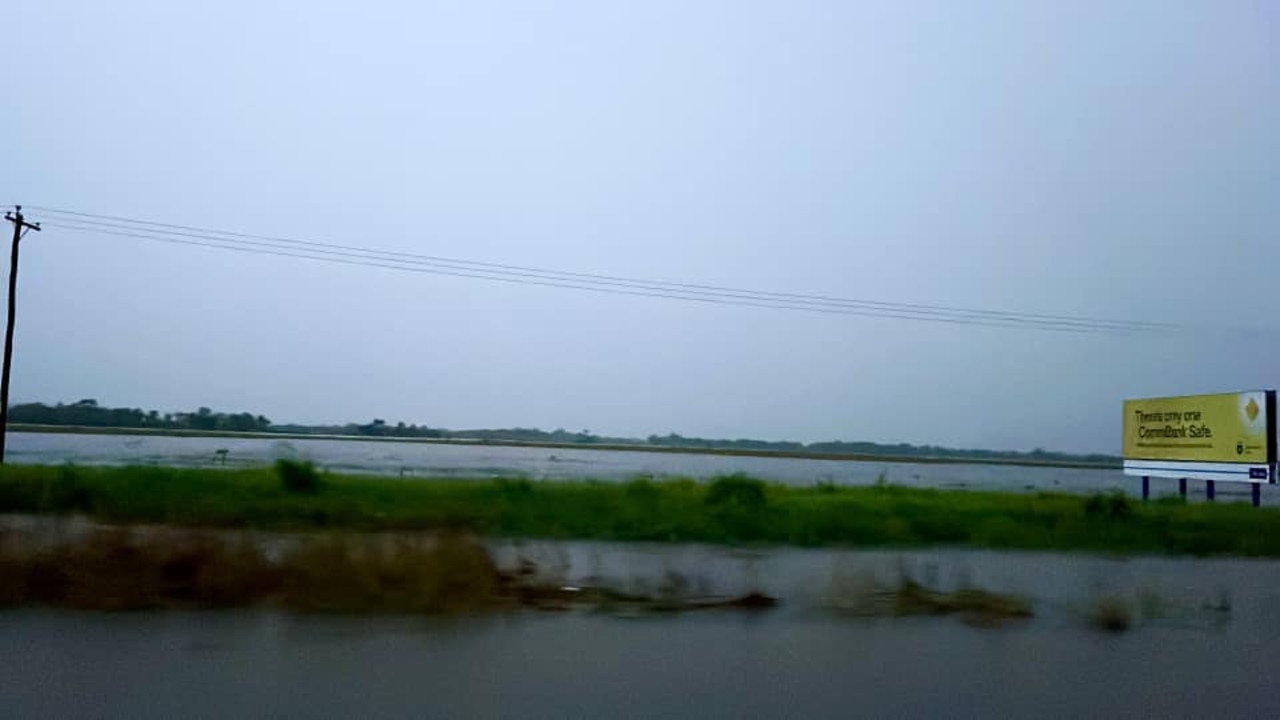
Cairns and Innisfail have also received large rainfall totals, with Cairns Airport (175mm in the 24 hours from 9am on Thursday), Kamerunga (143mm) and Sweeney Creek (127mm) among the worst hit.
After the days-long deluge in the South East, a number of rivers remain on flood watch, with the Mary River of greatest concern.
The Mary River at Gympie peaked at 10.26m at 1pm on Thursday, but with no more significant rain forecast, levels are expected to fall, although they will remain above minor flood levels on Friday.
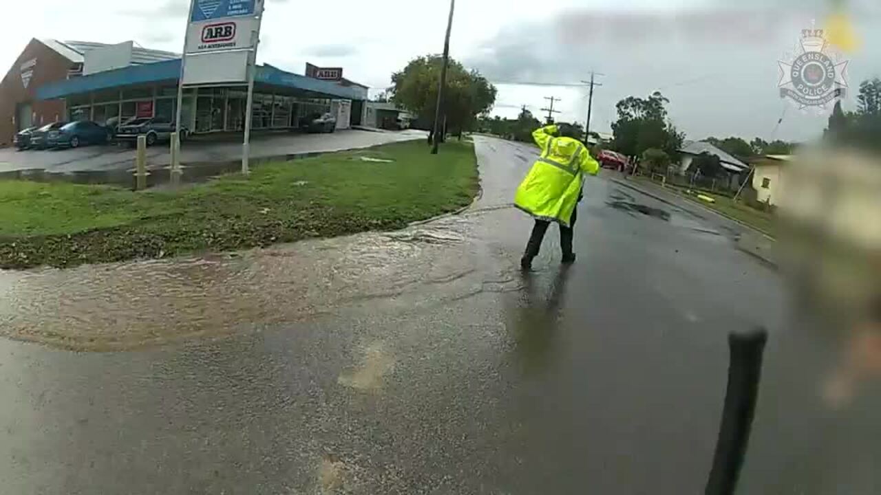
“Moderate to heavy rainfall across the Mary River catchment over the last few days has caused minor to moderate flooding along the Mary River,” the Bureau says.
“Minor flooding is occurring at Gympie where river levels are falling. Downstream, moderate flooding is occurring at Miva and Tiaro.
“Rainfall has now cleared across the Mary River catchment. No significant rainfall is forecast for the next few days.”
ACTIVE FLOOD ALERTS
The following Watches/Warnings are current:
Flood Watch for the North Tropical Coast and parts of the Central Coast
Moderate Flood Warning for the Mary River
Initial Minor Flood Warning for the Bohle River
Initial Minor Flood Warning for the Haughton River Catchment
Initial Minor Flood Warning for the Pioneer River
Minor Flood Warning for the Burnett River
Minor Flood Warning for the Burrum and Cherwell Rivers Catchments
Minor Flood Warning for the Don River
Minor Flood Warning for the Logan River
Minor Flood Warning for the Paroo River (QLD)
Minor Flood Warning for the Upper Brisbane River
Minor Flood Warning for the Warrego River (QLD)
Minor Flood Warning for the Warrill Creek and Flood Warning for the Bremer River
Final Flood Warning for the Lower Condamine River


