Qld weather: Heavy rain, storms for SEQ, heatwave for Outback
Brisbane is set to cop intense rain and severe storms, after areas north of the Sunshine Coast were lashed with torrential downpours on Monday with one person reported missing in floodwaters.
QLD weather news
Don't miss out on the headlines from QLD weather news. Followed categories will be added to My News.
Brisbane is in the firing line for intense rain and severe thunderstorms this week, with the weather bureau warning flash flooding could hit the city once again.
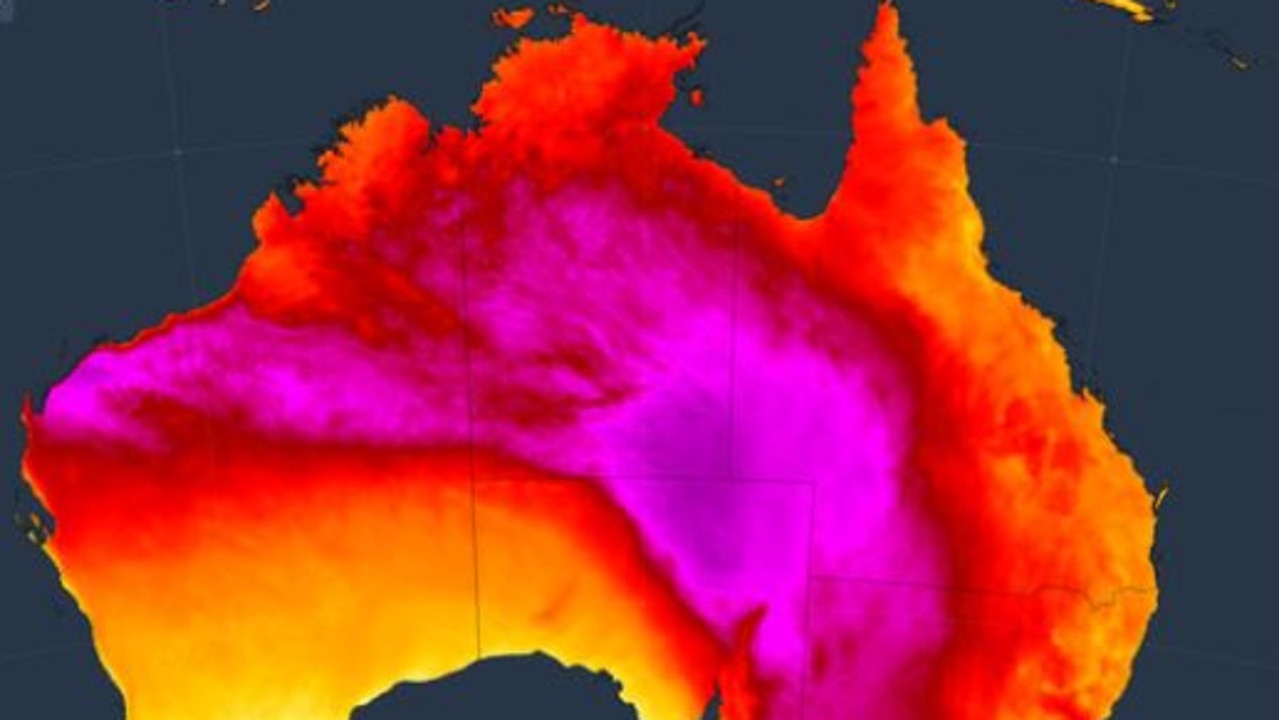
It comes as heatwave warnings remain in place with parts of the Outback, with Birdsville heating up to 45.3C just after 1pm on Monday.
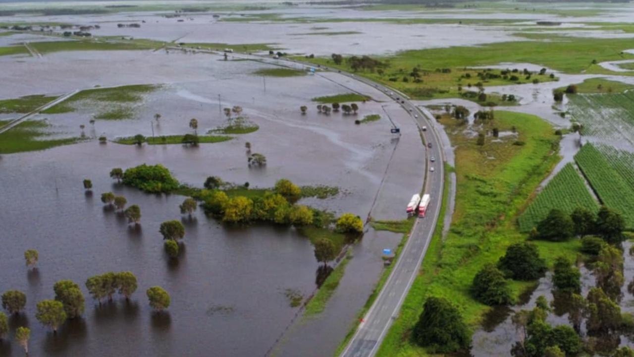
The Sunshine Coast has been hammered with more than 40 road closures reported across the region.
The Bureau of Meteorology reports 47mm has fallen so far today in Nambour with more to come.
Noosa Council is warning residents to avoid several roads due to flash flooding and raised waterway levels. Subway Ave in Pomona has reached “major” levels of flooding and is closed. About nine roads had closures listed.
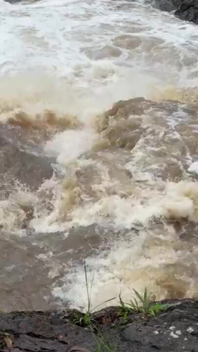
On Monday afternoon a person was reported missing in floodwater near Duckinwilla after wild weather and torrential rainfall lashed the Wide Bay Burnett.
Swiftwater crews braved raging water at Duckinwilla Rd trying to locate an individual after a call was made to Queensland Fire and Rescue at around 1:50pm.
A similar warning was issued for minor flooding at Howard in the Fraser Coast with levels expected to peak on Monday afternoon.
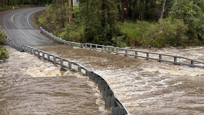
Sixteen roads closed have been shut due to flooding with Boonooroo cut off, and water encroaching on the Maryborough Hervey Bay Rd, risking its closure.
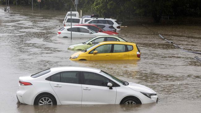
On Saturday, parts of Brisbane were inundated, with some suburbs receiving falls of up to 90mm, leaving streets flooded and cars inundated.
Minor flood warnings were still in place for the Warrego, Lower Condamine and Paroo rivers on Monday morning as a result of the weekend rainfall.
But the Bureau of Meteorology says more wet weather is likely, with severe thunderstorms to hit Brisbane by Tuesday.
While the totals are expected to be lower in Brisbane, it doesn’t bode well for day three of the third Test between Australia and India at the Gabba.
But rain is forecast on all three remaining days of the match, with both Brisbane and Ipswich facing up to 25mm on Tuesday and 20mm on Wednesday.
RELATED: Homes 11 per cent cheaper but are they worth the risk?
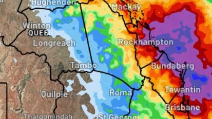
Meteorologist Jonathan How said the northern parts of Brisbane going into the Sunshine Coast were likely to see heavy rain as early as Monday morning.
“Tuesday and Wednesday is when we will really start to see Brisbane coming into the focus area for severe thunderstorms,” Mr How said.
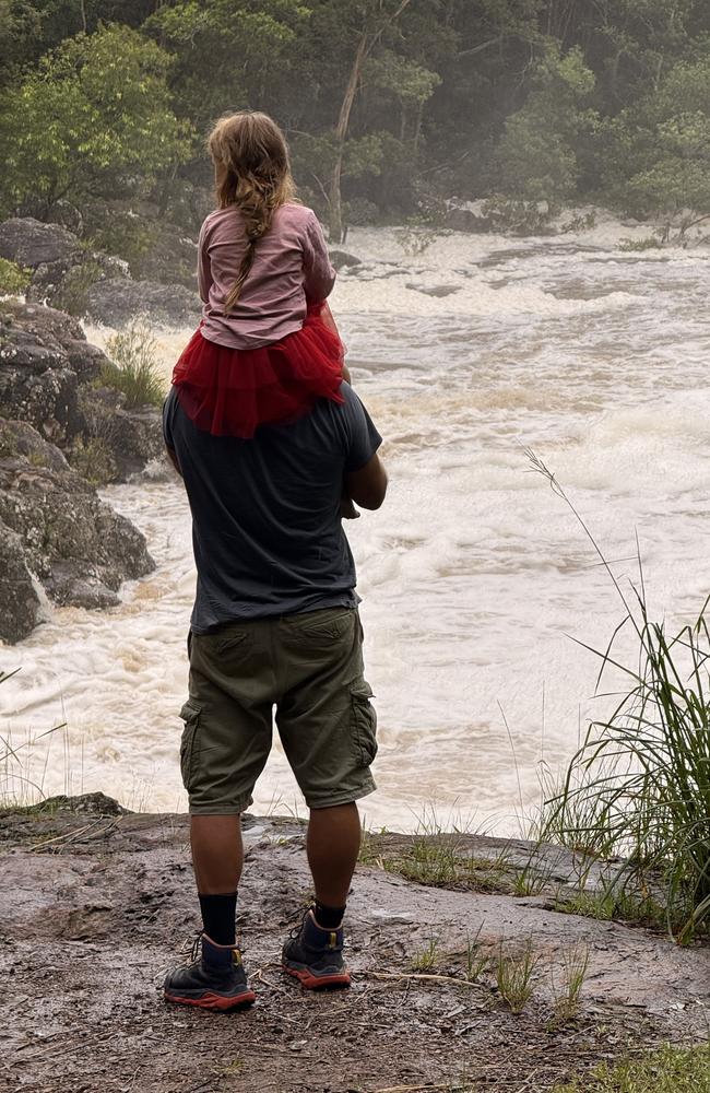
“We are reminding people across Southeast Queensland to keep an eye on the radar and to look out for any warnings.
“Wednesday we do see the risk of thunderstorms even pushing out into areas like the Darling Downs and Toowoomba.”
Multiple dams across the region are releasing water, with more planned as rain is set to increase.
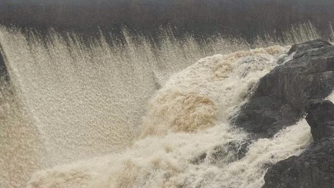
Somerset Dam, Cedar Pocket Dam, Lake Macdonald Dam and Ewen Maddock Dam are all releasing water.
Meanwhile, the Bureau of Meteorology has issued a severe-to-extreme heatwave warning for people in northern and western Queensland, where temperatures have on Monday climbed well in to the 40s.
The mercury climbed to an uncomfortable 45.3C at Birdsville just after 1pm, with the mercury hitting 44.9C at Urandangi and 44.7C at Ballera in the Channel Country.
The weather bureau predicted conditions across the southeast to dry up by Thursday.
Meanwhile a tropical low forming off the coast of Rockhampton and Bundaberg could bring showers for the region, but was unlikely to form into a cyclone.
“At the moment there is no risk of that developing into a tropical cyclone, it is quite a weak low just bubbling away,” Mr How said.
“So we could see some locally heavy falls today and tomorrow towards Rockhampton and Bundaberg.”
For the central and northern parts of Queensland, sweltering temperatures were tipped for the start of the week.
The weather bureau issued a heatwave warning on Sunday afternoon, with extreme heat expected for the north west.


