
Qld weather: Frost on cards as state faces chilling weather U-turn
Queensland will experience the four seasons this week with a “topsy turvy” forecast to include heavy rainfall, severe storms, heatwaves, icy winds and potential frost.

QLD weather news
Don't miss out on the headlines from QLD weather news. Followed categories will be added to My News.
Queensland will experience the four seasons this week with a “topsy turvy” forecast to include heavy rainfall, severe storms, heatwaves, icy winds and potential frost in various parts of the state.
Rain could dampen Melbourne Cup celebrations across the South East on Tuesday with the Bureau of Meteorology predicting 20-35mm of rainfall in Brisbane alone.
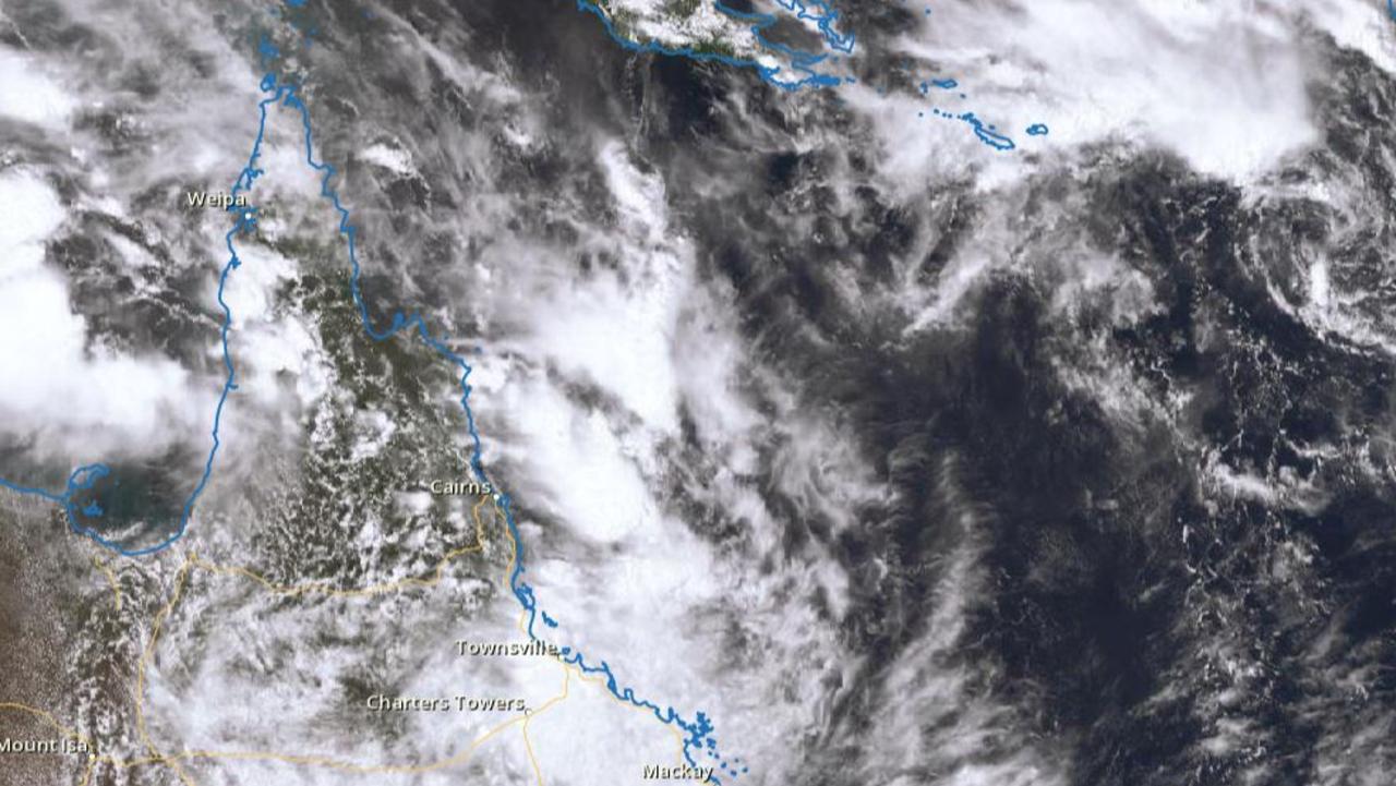
It’s the result of a “significant” trough which will make its way east across two thirds of the south on Monday and Tuesday before contracting north, impacting central and northeast areas.
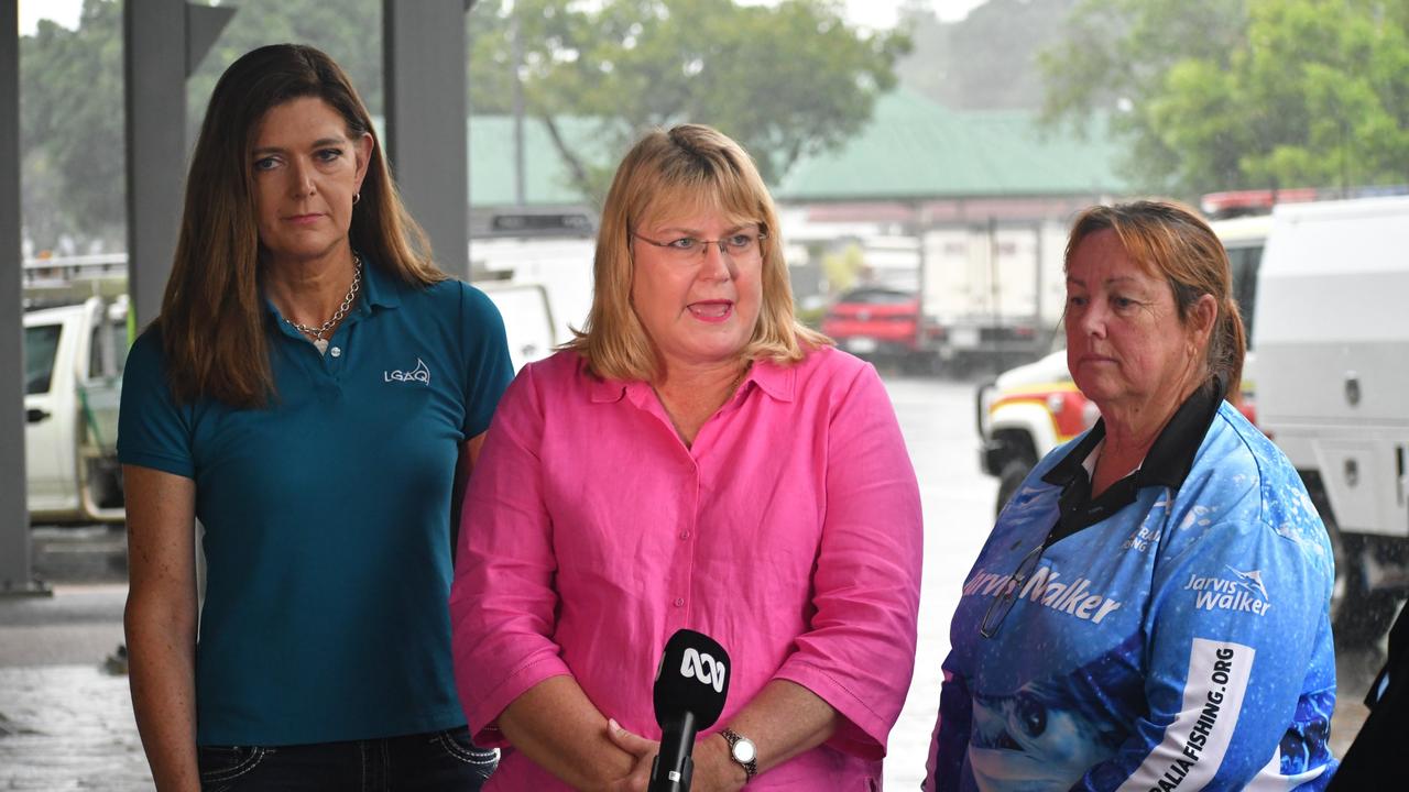
Bureau meteorologist Steven Hadley said it was a strange week of weather for the state which will see a quick transition from warm to cool, with potential frost forming on the Granite Belt.
“It’s quite a topsy turvy week,” he said.
“It will be a cool second half of the week with rise of cold windy weather and touch of frost on the Granite Belt.
“It’s not often we get frost in November but there‘s a risk so agricultural producers and growers should be aware of that.”
Mr Hadley said storm activity and strong winds would likely peak in South East Queensland on Tuesday morning but had strong potential to last into the afternoon during Cup time.
“Timing will be the thing in the South East because some of the modelling suggests it could clear up a bit on Tuesday perhaps improving in the evening,” he said.
“But it might be too late for the afternoon outdoor events, so make sure you've got room for cover during that morning and possible afternoon wet weather.
“It's also going to be pretty windy as well, the weather system that's moving through the south has rainfall, storms and windy conditions.”
The head of the trough will begin tracking north on Tuesday evening, bringing severe storm activity to central and northeast areas stretching from Maryborough through to Townsville.
Mr Hadley said storms could lead to renewed river rises and the reissuing of flood warnings in already saturated central parts of the state.
“There’s some room there for renewed river risers and we could put out another alert for flood watch for some catchments,” he said.
“Use the Bureau app which can alert you to weather warnings based on where you are as we continue to update those warnings throughout the week.”
Meanwhile, northern parts of Queensland continue to grapple with an extreme heatwave which is expected to draw south and start affecting Mt Isa and Longreach from today, bringing sweltering 40 degree temperatures to the area.
Temperatures are expected to drop dramatically from Tuesday onwards due to the cool trough moving north however, far north areas in the Cape York Peninsula will still experience usual high summer temperatures.
Extreme heatwave warnings remain in place for thePeninsula and Gulf Country districts and a severe heatwave warning in place for:Northern Goldfields and Upper Flinders, North Tropical Coast and Tablelands and Herbert and Lower Burdekin districts.
Piles of heartbreak: Ingham counts devastating cost of floods
The Hinchinbrook region has begun counting the cost caused by the “perfect storm” as talk turns to potential buybacks and re-building homes ravaged by the floods.
Search for man missing in flood waters as NQ faces another 300mm monster
A search and rescue mission is underway in NQ for a man who drove into flood waters while the region braces for an active monsoon trough expected to dump falls of up to 300mm.