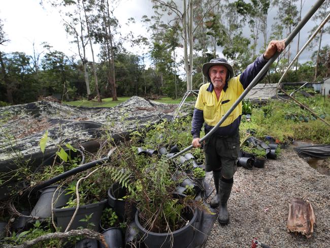
Qld weather: Fresh cyclone threat for north, wild winds for southeast
Meteorologists are monitoring Far North Queensland for a second cyclone in a month, as residents further south brace for up to 200mm of rain, high tides and wild winds.
QLD weather news
Don't miss out on the headlines from QLD weather news. Followed categories will be added to My News.
Queensland’s extreme weather shows no sign of letting up, with the Far North under a renewed cyclone threat and the southeast set to be smashed by wild winds and high tides.
From Thursday, a developing monsoon trough in the north is expected to bring heavy rain, potential thunderstorms and strong winds to regions still recovering from Cyclone Jasper.
Weather bureau meteorologist Shane Kennedy said there was the potential for the monsoon system to develop into a cyclone by the weekend.
“There is about a 10 to 15 per cent chance the tropical low could develop later in the week and into the weekend so it is definitely one to watch,” Mr Kennedy said.
“This is likely to bring quite moderate rainfalls if not locally heavy rainfall that could lead to flash flooding and with the ground already quite wet from Jasper there is that potential for it to enhance quite quickly.

“Cloudy and cool conditions are expected over the weekend, and there is a potential for increased wind speeds and tides as well.”
A flood warning has been issued for the Pioneer River in Mackay this morning as heavy rain drenched the area overnight.
The Bureau of Meteorology wanted a combination of large tides and rainfall upstream overnight could lead to a peak near the minor flood level on this morning’s high tide.
“From 9am Wednesday to 5am Thursday, rainfall totals of up to 74mm have been observed across the Pioneer River catchment.
“As a result, river level rises are occurring along the Pioneer River,” the warning said.
In an unrelated system, a south-easterly wind surge pushing up the coast is expected to bring steady rainfall and potential storm activity for areas such as Gladstone and Bundaberg.
“This system will be pushed up the coast from Thursday and into Friday and the weekend and we are looking at around the 50 to 100mm range of rainfall with the potential for isolated fall sitting around the 200mm,” Mr Kennedy said.
“We may see river responses from this system and potential for flash flooding.
“There then is an expectation for a ridge of high pressure strengthening and that south-easterly wind surge across the coast to push the showers quite inland, around the Emerald and Roma regions.
“For the inland regions, there will be potential for isolated severe thunderstorms and heavy rainfall.”
In the southeast, rainfall totals are steadily falling, with the Bureau of Meteorology assuring severe thunderstorms are not on the cards heading into the weekend.
However, according to Mr Kennedy, coastal warnings are possible with high tides and strong winds forecast for Friday and Saturday for Brisbane, the Gold Coast and Sunshine Coast waters.
“We are expecting to see high tides and minor coastal flooding in low-lying areas for parts of the Brisbane, Gold Coast and Sunshine Coast areas chiefly on Friday and into the weekend,” he said.
“There should be some coastal and wind warnings for the weekend, the peak day at this stage seems to be Friday before it peters off into the weekend.”
Despite a hot start to the week in Brisbane, temperatures are expected to dip into the weekend as well as other southeast cities.


