
Qld weather: Mercury plummets to minus 3C as big chill hits
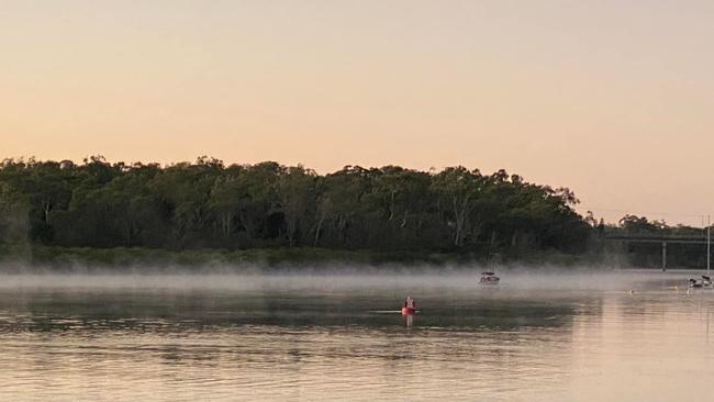
It’s been a shivering start to the day with locations across the state falling to a below freezing minus 3C. But the big freeze doesn’t end today with frost forecast in several areas, including in the Far North.
QLD weather news
Don't miss out on the headlines from QLD weather news. Followed categories will be added to My News.
Temperatures across Queensland have dropped as low as minus 3C and more cold weather is on the way with frost forecast for tomorrow.
Wellcamp Airport in the Darling Downs was the coldest place in the state, plunging to a below freezing -3.6C, but the apparent temperature was much colder at -6C.
Applethorpe dropped to -2.4C, while in Warwick the temps were a chilly -2.2C.
Similarly, Toowoomba was at -0.1C just before 7am but it felt like -4.3C and in Oakey it was -1.4C but felt like -2.4C.
In the South East, Brisbane Airport dropped to 5.1C at 6.41am, while Brisbane City itself was sitting at 7.9C but it felt as if the temps had dropped to 5.9C.
In Beaudesert the mercury dropped as low as 0.4C, while it was -1.3C at Canungra but felt like -2.3C.
Coolangatta was at 3.5C but felt like 2.1C, while the Sunshine Coast Airport recorded a temperature of 2.5C but it felt like -0.5C.
It was also freezing out west with Roma recording -1C at 6.55am but if felt like -3.2C, while St George was sitting at 2.1C.
Central Queensland also had a cold start, with -0.1C recorded at Biloela - although the apparent temperature was -2.3C - and 6.5C at Rockhampton.
Looking ahead, it will be another cold start tomorrow with temperatures in Brisbane likely to drop to a low of 6C with maximums climbing to just 18C, as the capital continues to shiver through its coldest week for this time of year in more than a century.
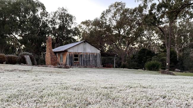
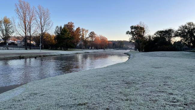
Frost is being forecast for several areas across the state on Friday and Saturday, including in the South East but also into the Atherton Tableland in Far North Queensland.
The Bureau of Meteorology’s Harry Clark said the cold conditions which blanket most of the state will peak later this week, before slightly warming up.
“Essentially what we have is a really dry air mass has been pushed over most of Queensland from down south which is bringing these clear and relatively calm, but cold, conditions,” Mr Clark said.
Mr Clark said the cold snap had not been record breaking so far, however, it was still quite early in the season.
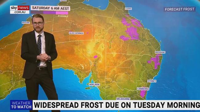
“We didn’t quite have an autumn so it’s been quite a sharp transition which makes it feel all that much worse,” he said.
“It certainly could get colder over the next few months.

CURRENT TEMPS & 7-DAY FORECAST
Read related topics:Weather
Join the conversation

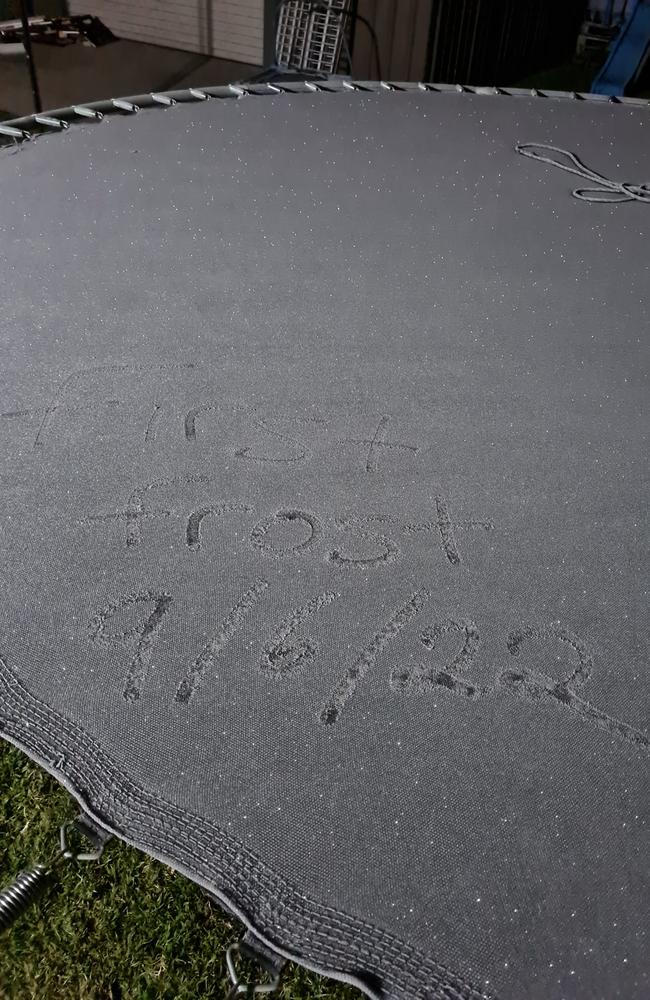
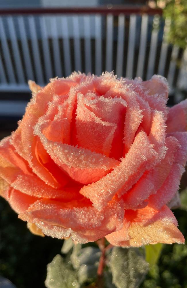
Ice ice baby: Spectacular images of unseasonal frost as Qld freezes
Queensland’s overnight temperatures will increase to double digits in the coming days, following the coldest start to winter in 16 years, bringing frost and ice to many regions. SEE THE PHOTOS
Read more

City’s coldest June start in 16 years, feels like MINUS 9.8C out west
Southeast Queensland is shivering through its coldest morning in more than 15 years but feels-like temperatures have dropped to insane levels in the southern inland.
Read more