
Qld temperatures plunge as slight chance of snow remains
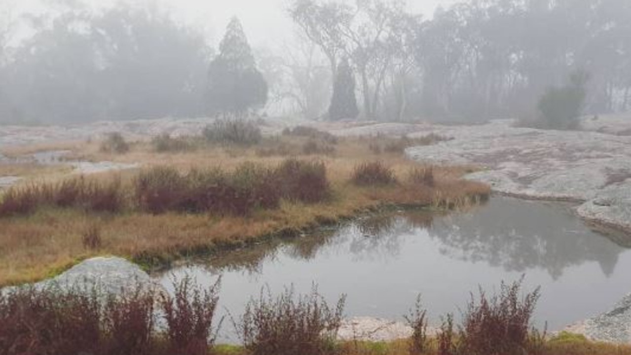
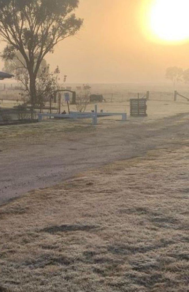
Parts of Queensland have woken to a frosty morning, with apparent temperatures dropping well below zero and the chance of snow still on the cards as the week goes on.

QLD weather news
Don't miss out on the headlines from QLD weather news. Followed categories will be added to My News.
Winter has definitely arrived, with parts of Queensland waking up to what feels like sub-zero temperatures this morning.
Ahead of warnings of possible snow on the Granite Belt later this week, the temperature at Applethorpe dropped to -.6 at 6.40am, but with an apparent temperature of -2.8C.
At Dalby on the Darling Downs it was 1.1C at the same time, but felt more like -2.7C.
Earlier it was 1.3C at Oakey with an apparent temperature of -2.3C. At Warwick, it was .8C but felt like -l.2C.
In the south-west, apparent temperatures fell to -1.2C and -1.4C in Charleville and Roma.
In Brisbane, the mercury was just in the double digits on 10C, but felt at least two degrees cooler.
Further west at Archerfield it was 7.8C, with an apparent temperature of 5.8.
And it’s a cold start on the Coasts, with 8.9C (feels like 7.4C) at Coolangatta, and 7.4C (4.2C) at Sunshine Coast Airport.
Forecasters have predicted a frosty few days across the Darling Downs, with a slight chance of snow later in the week.
The nation’s east coast is set to receive a “significant” dumping of snow as the ski season gets under way in the alpine regions.
Sky News Weather meteorologist Rob Sharpe said the snow forecast was looking “quite significant”, with falls down to about 1000m for parts of Victoria, NSW and southern Queensland.
He said there was a chance of light snow on Queensland’s Darling Downs on Wednesday night or early Thursday.
A strong cold front is expected to start making its way across South Australia this afternoon before arriving in the southeast and the east coast on Tuesday and Wednesday.
Heavy rain and damaging wind gusts are also a threat along the coast and in elevated areas in eastern Victoria and southeast NSW on Wednesday and into Thursday morning.
The rain band is expected to reach Brisbane early on Wednesday, which is expecting up to 5mm, before the system weakens and drifts off the coast.

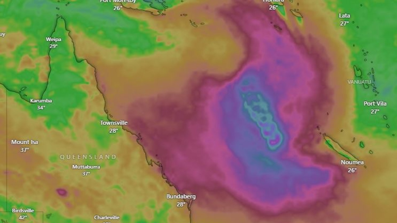
Cyclone threat grows as 500km beast stalks Qld coast
A tropical low that has a high chance of forming into a cyclone in coming days. SEE THE FORECAST

The day a monster named Marcia destroyed Qld homes
Ten years ago Severe Tropical Cyclone Marcia turned towards the Queensland coastline as a monster category 5 storm. What unfolded was truly terrifying for hundreds of residents. SEE THE PICTURES