Brisbane and region flood alerts, missing man found safe near Gympie
Two people have been rescued from their car at Ipswich and minor flood warning has been issued for Brisbane City as heavy rain persists across the region. LATEST DETAILS
QLD weather news
Don't miss out on the headlines from QLD weather news. Followed categories will be added to My News.
Two people have been rescued from floodwaters at Ipswich as flood alerts are issued for a large swath of southern Queensland.
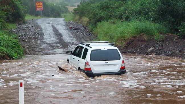
The pair were rescued on Brisbane Rd, West Ipswich, at 7.30 on Thursday night after their car became stuck.
Passers-by helped them to safety before emergency services arrived.
It understood one man had climbed on to the roof of the car to attract attention, while another was still inside.
Queensland ambulance said neither required medical treatment, and urged motorists to exercise caution as rain continued to fall.
It came as a minor flood warning was issued for Brisbane City.
The river was at 1.13m and rising at the City gauge at 5.40pm on Thursday.
Meanwhile, a 36-year-old man missing near floodwaters in the Gympie region has been found safe after an air, water and land search.
Police said the man had walked a considerable distance from the Imbil campsite where he was last seen about 11.30pm on Wednesday, and was found by members of the public on Thursday afternoon.
The man was last seen chasing his dog away from the Yabba Creek Rd campsite.
“He was reported missing at approximately 10am this morning after he failed to return or make contact with anyone,” a police statement said.
The man’s dog has also been found.
The campsite has been isolated due to flooded river crossings, and is isolated from foot and road access.
The Bureau of Meteorology issued a flood watch for several Queensland local government areas at 3pm on Thursday, with widespread flooding expected across coastal and southern Queensland on Thursday night and Friday morning.
Residents in the Wide Bay and Burnett, South East Queensland, Darling Downs and Granite Belt areas were told to expect minor to moderate flooding, and have not ruled out more significant flooding events.
The bureau said catchments had become saturated following recent downpours, which meant that creeks could respond ‘rapidly’ to rainfall and cause flash flooding.
With heavy falls predicted for Thursday night and Friday, emergency services were urging residents to monitor the latest weather forecasts and warnings.
Catchments likely to be impacted were:
* Calliope River
* Boyne River
* Baffle Creek
* Kolan River
* Burnett River
* Burrum and Cherwell rivers
* Mary River
* Noosa River
* Sunshine Coast rivers and creeks
* Pine and Caboolture rivers
* Upper Brisbane River
* Lower Brisbane River
* Logan and Albert Rivers
* Gold Coast rivers and creeks
* Condamine Rivers (particularly Upper Condamine)
* Macintyre River
* Weir River
Sunshine Coast Regional Council issued a watch-and-act alert, with the weather bureau forecasting heavy to intense rainfall on Friday from early morning to evening.
It warned of dangerous flash flooding and urged residents to stay off the roads.
Meanwhile, emergency alerts have been issued for the Darling Downs and Somerset regions.
Queensland Fire and Emergency Services confirms flash flooding is occurring in the Southern Darling Downs area as the Condamine River rises.
Blackhouse Rd and Condamine River Rd near Killarney have both been closed to traffic.
In the Somerset region, moderate flooding is likely along the Lockyer Creek, which could impact low-lying areas of Mount Tarampa and Prenzlau.
Residents have been advised that they can evacuate to the Lowood State School hall on Prospect St, Lowood.
As Cressbrook dam continues to spill into the creek, an emergency alert has been issued for Cressbrook Creek.
Water had risen to 1.2m above the spillway by 4pm, with further rainfall expected to increase that height throughout Thursday night.
Somerset Regional Council has urged residents along the creek to be prepared to implement their emergency plans.
Another flood situation was unfolding west of Brisbane, with residents of the Lockyer Valley told to be on alert as heavy rainfall and flash flooding continues around the region, while a man has been rescued near Bundaberg after spending the night clinging to a tree.
A number of schools have now closed and the Lockyer Valley Regional Council has issued a watch and act alert as floodwaters continue to rise in the area.
The alert, sent via text message, states that heavy rainfall and flash flooding will occur in the region over the coming days from today.
“Multiple roads are currently being impacted by flooding and road closures are in place,” the text message read.
“Everyone in the Lockyer Valley Regional Council area is urged to stay up to date with the latest information from the Bureau of Meteorology.”
Council has urged locals to stock up on enough supplies to last at least three days.
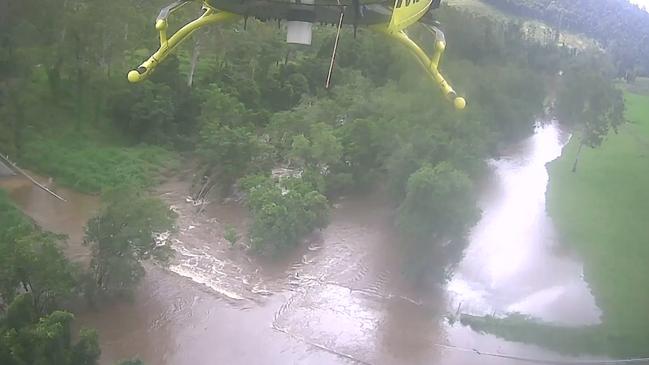
There are fears residents may become isolated as a result of the ongoing rain, as a major flood warning has been issued for the region.
The regional council has alerted residents to the possibility they may not be able to leave for essentials.
“Residents in danger of becoming isolated as a result of the ongoing rain are again urged to stock up on medication and food supplies while they can – if it’s safe to do so,” the Lockyer Valley Regional Council said online.
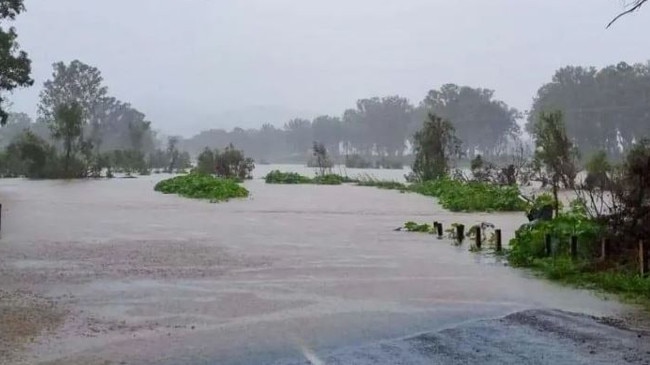
“At-risk households are encouraged to have at least three days’ worth of vital supplies on hand.”
More than 92 roads in the Lockyer Valley Regional Council had gone under water or were at threat of flooding as of 12.20pm, with closures reported right across the region.
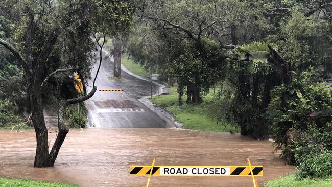
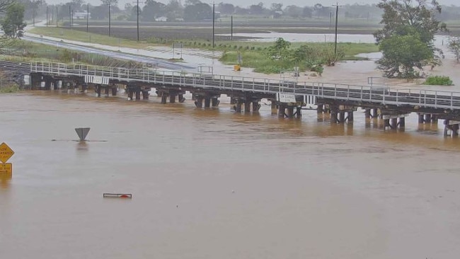
Flood cameras show the creek crossing at Helidon cut by water as well as flooding at Glenore Grove, Junction View and Woodlands Rd at Culvert.
Late on Thursday afternoon Lockyer Valley Mayor Tanya Milligan said it was a blessing that she was yet to receive reports of homes flooding, and hadn’t received any requests to open the evacuation centre.
“While I say there’s no inundation in homes, there is certainly water in people’s yards,” Cr Milligan said.
“That’s never nice anyway and that makes people really anxious as well.
“We’ve got people that are still really anxious about what happened in the February/March event and really, our priority remains the same as in February and March – preservation of life.”
Gympie Regional Council also issued an emergency alert for forecast heavy rainfall of 100mm to 160mm on Thursday night and into Friday morning.
Flood warnings for potential moderate flooding in Gympie were issued earlier on Thursday and residents have been urged to stay off the roads.
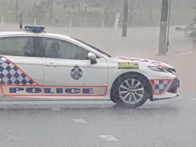
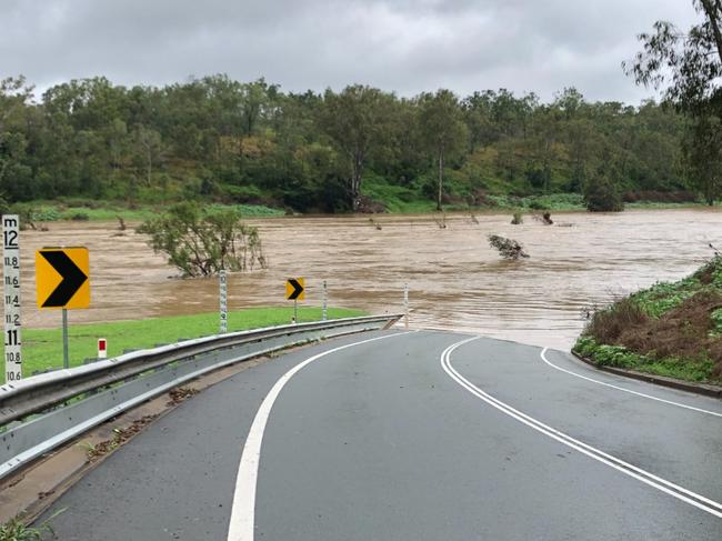
A major road through Brisbane’s west has been cut by flood water on Thursday afternoon.
Brisbane City Councillor Greg Adermann for the Pullenvale ward posted just after noon that Rafting Ground Rd at Brookfield had been closed.
Police were on site and signage had been requested.
Meanwhile, a group of farmers have rescued a man who was stranded, clinging to a tree in floodwaters in the Bundaberg region.
The man, aged in his 60s, had to climb out of his car after he was caught in fast-flowing water overnight.
Through the dark, he managed to cling to a tree before the farmers spotted him during their morning check of their property.
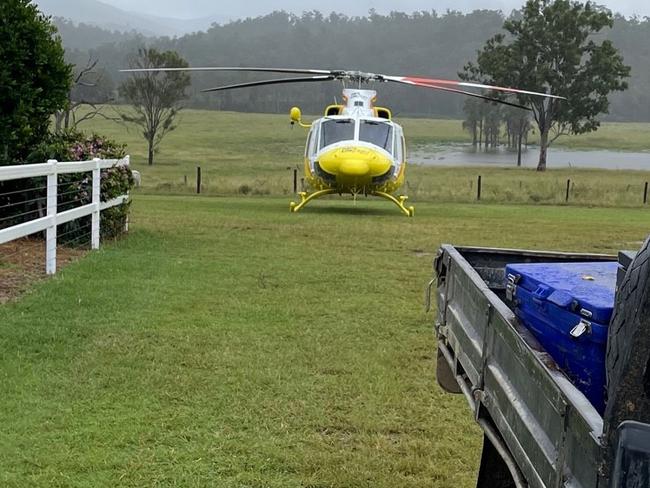
RACQ LifeFlight Rescue was later sent to airlift the man.
“There was no road access for Queensland Ambulance Service (QAS) personnel because of the floods, so the RACQ LifeFlight Rescue chopper was tasked at 7:30am,” A statement from RACQ LifeFlight Rescue said.
“The QAS Flight paramedic treated the patient for hypothermia and other existing medical conditions, before he was flown to Bundaberg Hospital in a stable condition, for further treatment.”
The Toowoomba Region Council has issued an emergency alert for Cooby Creek.
TRC advised the Cooby Dam was spilling, which may lead to the flooding of areas in the vicinity of Cooby Creek.
Residents are asked to secure property, warn neighbours, and prepare to move to higher ground if the situation worsens.
About 1pm on Thursday the Bureau of Meteorology has issued a severe thunderstorm warning for parts of the Queensland interior including Rolleston, Injune, Roma and St George.
According to BOM, severe storms are becoming more active and are likely to produce heavy rainfall.
As a result, flash flooding may occur in the aforementioned locations in the coming hours.
Residents in the areas mentioned are advised to stay tuned to the BOM website for additional information.
Senior meteorologist Laura Boekel, from the Bureau of Meteorology, said rapid rises occurred across several creeks in southeast Queensland early this morning.
“Over the coming days, we are expecting rain areas to continue across parts of central and eastern Queensland,” she said.
“Within these rain areas we could see thunderstorms which could bring more intense pockets of rainfall as well as damaging winds.
“At this stage, these rain areas will likely ease from Saturday where we will see rain activity become more showery over the weekend before easing.”
Ms Boekel said any amount of rainfall could lead to flash flooding because the catchments are already saturated.
The weather bureau has issued several flood warnings across the regions with a major flood warning for Warrill Creek, moderate flood warning for the Bremer River, Laidley Creek and minor flood warning for Lockyer Creek and the lower Brisbane River.
The Brisbane River at Brisbane City is expected to remain below the minor flood level (1.7m) during Thursday and Friday.
More than 20mm of rain fell on Brisbane City in just over two hours while 12mm fell at Archerfield and Amberley.
The weather system – which is not expected to have the same impact as one that hit the South East earlier this year – has claimed one life, with record rainfall in some areas, driven by stubborn La Nina conditions that refuse to ease and threaten to continue into winter.
SEE THE FULL LIST OF SCHOOLS BELOW
Several towns on Wednesday had record 24-hour May rainfall totals, including 244mm at Mourilyan, south of Innisfail, before the heaviest rain moved offshore.
Hamilton Island has also been hammered with 220mm in the 24 hours to 7.30am this morning.
Widespread rain is expected to move south, increasing the risk of flooding for Central and South East Queensland.
Areas just north of Brisbane were hardest hit by heavy falls and flash flooding, with Morayfield getting 118mm in the past 24 hours and Caboolture 105mm.
There was 132mm at Mt Mee and 122mm at Woombye in the Sunshine Coast hinterland.
A woman aged in her 50s had to be rescued after he car became submerged in floodwaters at Imbil near the Sunshine Coast.
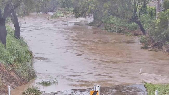
Emergency services were called to the incident on Imbil Island Road about 8.12pm Wednesday. Multiple vehicles were also caught in floodwaters on Beachmere Rd near Caboolture overnight.
Ms Pagel said southeast Queensland residents in rain-affected areas could expect much of the same today, with localised rainfall becoming heavy at times.
“We are looking at rain areas continuing in the southeast and central Queensland for at least the next couple of days,” she said.
“It could become locally heavy at times, at this stage the rain will continue until easing really slightly on Saturday.”
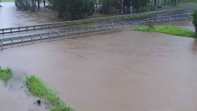
Surf and swell conditions are expected to be hazardous for the Fraser Island coast along with the Gold and Sunshine Coast waters.
High tide at the Eli Creek entrance on Fraser Island is expected to peak at 1.6 metres about 6pm tonight.
Additionally, the Gold Coast Seaway’s tide is expected to peak at 1.3 metres about 6.30 tonight.
Beaches around the southeast are closed.
Sky News Weather chief meteorologist Tom Saunders said La Nina, which would usually break down during autumn, was “refusing to weaken”. “The Pacific Ocean is definitely still in a La Nina phase and that is the reason why we are getting out-of-season rainfall for Tropical Queensland but also for the southeastern corner we are getting frequent rain events right now,” Mr Saunders said.
“The modelling shows La Nina should weaken, however, the modelling has shown that for the past few months and that hasn’t happened.
“It is likely to weaken as we move into winter but it is not guaranteed.”
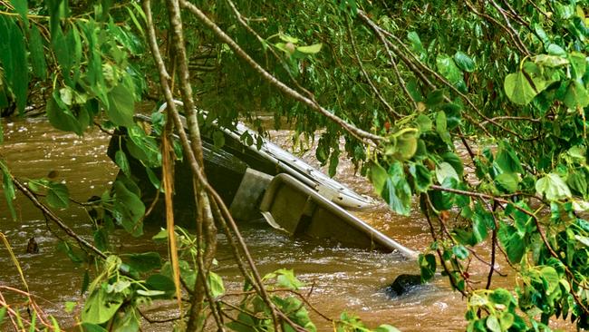
A Calen woman, 31, was found dead in her car which had been swept into floodwaters at Mount Ossa, north of Mackay, about 8am Wednesday. Two passengers were able to escape from the car which was swept from a causeway on Surprise Creek Road about 5am.
More than a dozen flood warnings were current late on Wednesday as the Bureau of Meteorology issued initial moderate flood warnings for the Mary River at Gympie, and minor flood warnings for the Lower Brisbane River Catchment.
The Mary River had risen to 6.21m by 9.40pm Wednesday, surpassing the minor flood level of 6m. The bureau predicted that by 9am on Thursday, the river would be approaching the moderate flood level of 12m.
The Brisbane River at Mt Crosby, Moggill, Jindalee and Brisbane City was expected to stay below the minor flood level.
Residents in lower-lying areas of Brookfield and surrounding suburbs, however, were last night warned about potential flooding from Moggill Creek.
The creek was at 5.98m and rising at 5.40pm on Wednesday, as nearby Gold Creek and Enoggera Reservoirs spill over.
Gold Creek was sitting at 150 per cent capacity at 4pm, while Enoggera was at 117 per cent.
Brisbane City Council also cancelled all CityCat and ferry services last night due to the “deteriorating weather conditions”.
Residents north of Brisbane were on Wednesday bracing for further flash flooding into the evening after water began inundating the road and parkland behind Morayfield Shopping Centre.
About 48mm of rain fell from 9am to noon at Landsborough, while 39mm fell at Maleny and 42mm fell at the Glasshouse Mountains.
Rain gauges in many parts of Townsville reached up to 200mm by Wednesday morning, causing flash flooding.
While relief from the deluge was expected in North Queensland, a major flood warning for the Haughton River and a moderate warning for the Bohle River were still current late Wednesday.
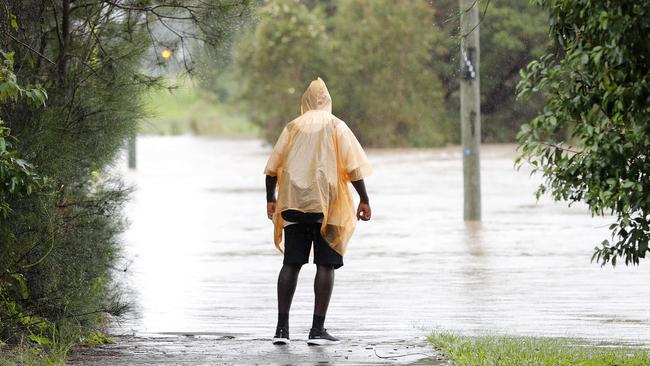
The heavy rain also topped up Queensland’s largest dam to overflowing. Water started flowing over the spillway of Burdekin Falls Dam, about 150km south of Townsville, on Wednesday after the storage had already been at more than 90 per cent capacity since the start of the month.
The Bureau of Meteorology will today update its Climate Model Summary, providing an update on La Nina and the Indian Ocean Dipole to give Australians a better idea of weather to come.
Rain is expected to persist around central Queensland today, gradually moving south across the Central Highlands and Capricornia.
More heavy rain is also expected in the state’s South East.
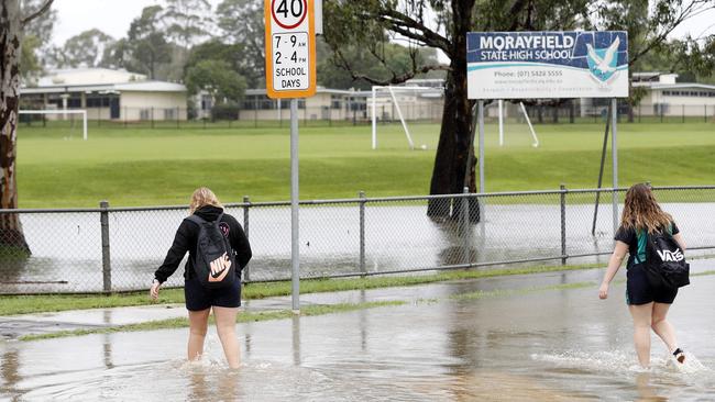
“It's almost a separate weather system for what’s happening in the northern parts of the state and what’s happening in the south,” Mr Saunders said.
Wet weather will continue on Friday for the Wide Bay region and South East Queensland before gradually easing across the weekend.
The weather won’t completely clear though with widespread showers expected across the state next week.
RAINFALL TOTALS
24 hours to 7.30am Thursday
Bakers Bend (south of Charleville) – 265mm
Mourilyan (south of Innisfail) – 244mm
Hamilton Island – 220mm
Klubers Lookout – 208mm
Black Weir (Far North Queensland) – 199mm
Paluma – 196mm
Bingil Bay – 195mm
Innisfail – 185mm
Upper Black River (south of Townsville) – 183mm
Cardwell Range – 155mm
Mt Mee – 132mm
Woombye – 122mm
Morayfield – 118mm
Bellthorpe – 118mm
Yandina – 115mm
Caboolture – 105mm
Talagai – 100mm
Burpengary – 96mm
Laidley – 90mm
SCHOOL CLOSURES
Conondale State School
Flagstone Creek State School
Giru State School
Grantham State School
Helidon State School
Kentville State School
Lake Clarendon State School
Lockrose State School
Ma Ma Creek State School
Mount Kilcoy State School
Mount Sylvia State School
|Mount Whitestone State School
Thornton State School
The River School (Maleny)


