
Brisbane weather: More storms on way after late-night deluge
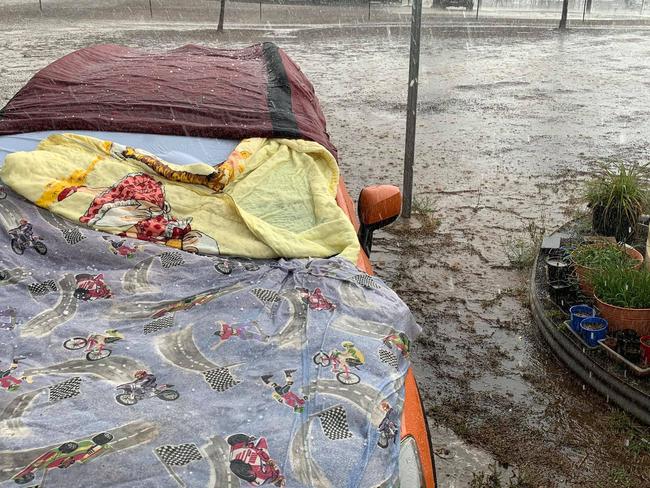
More than 130mm of rain was dumped on parts of Brisbane overnight as a severe thunderstorm swept over the city, but while residents rejoiced about much-needed water for their gardens, there’s been a big down side to the deluge.
QLD weather news
Don't miss out on the headlines from QLD weather news. Followed categories will be added to My News.
A SEVERE thunderstorm has dumped more than 130mm of rain in parts of Brisbane overnight, equal to what the city has seen over the past six months, but the good news hasn’t flowed into the region’s dam catchments.
The storm hit the city and delivered an hour-long deluge after dropping hail further to the west at Warwick and Applethorpe on the Darling Downs.
Brisbane weather: Users take to social media to celebrate major storm
“The amount of rain we had last night in Brisbane equalled the amount of rain we had had in the last six months and all of that almost fell in one hour,” Bureau of Meteorology senior forecaster Michael Knepp told ABC radio.
East Brisbane recorded 135mm, and Brisbane city 100mm.
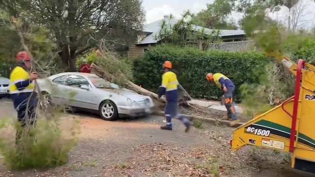
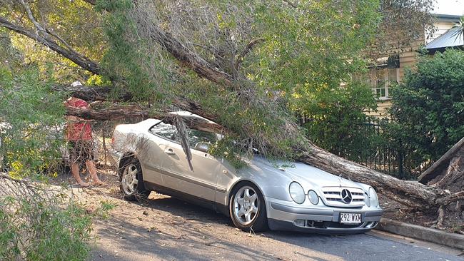
Eastern suburbs copped the brunt of heavy wind gusts, with trees down in Bulimba, including a 100-year-old fig.
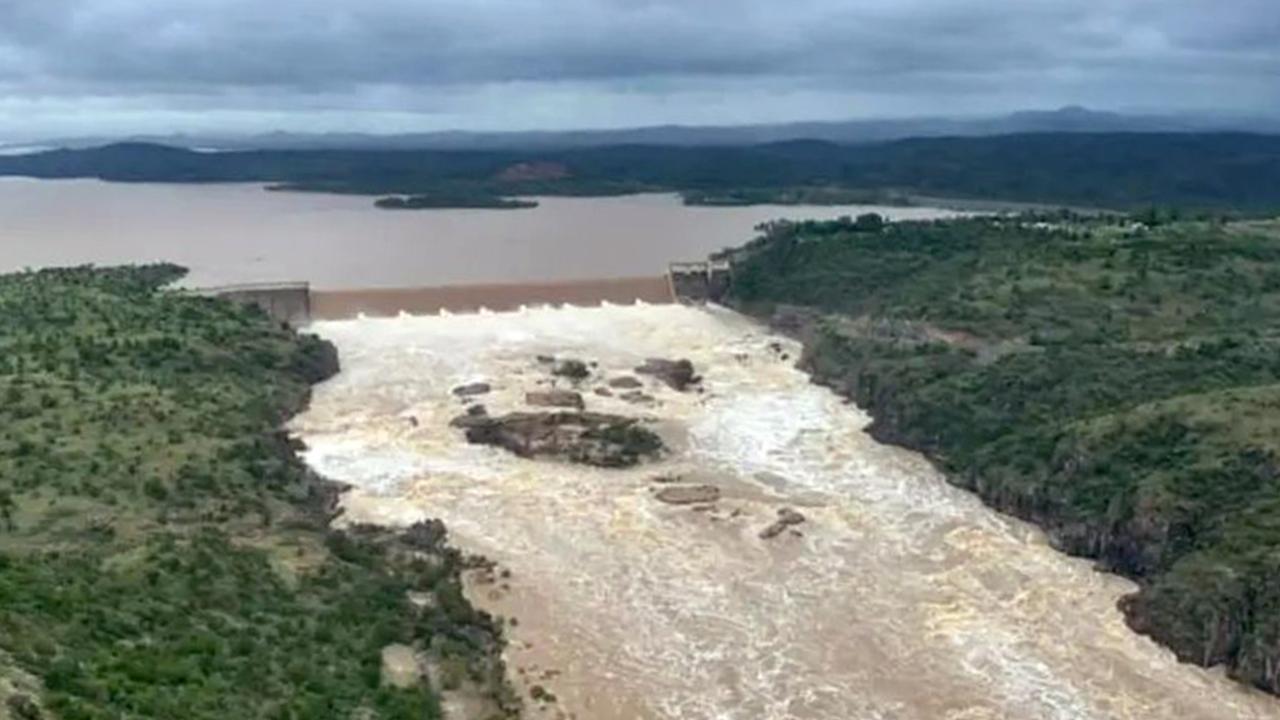
However, despite the rain, Seqwater said Brisbane’s dams remain largely unaffected, as the SEQ Water Grid’s supply capacity remained at 57.9 percent.
Seqwater Spokesperson Mike Foster said the continual dry hot weather received over the past few months was to blame for the unchanged water supply.
“Since the soil in our drinking water catchments had become so dry, a lot more continuous rain is needed to saturate the ground before we begin to see significant inflow into our dams,” Mr Foster said.
“Wivenhoe needs more than 100mm of rain to fall in the catchment before we see significant run-off.”
More storms that could bring further heavy falls are expected in coming days - welcome news for fire authorities who’ve had to contend to a shocking start to the bushfire season.
“It looks like maybe our seasons have switched from fire season to storm season,” Mr Knepp said.
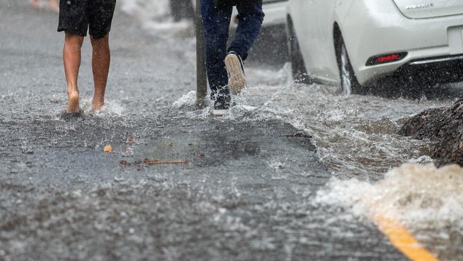
Emergency crews were busy, with the SES receiving dozens of calls for assistance and the QFES was called on for a number of swift-water rescues.
“… for roof-damages, cars submerging in flooded waters and quickly-rising waters,” a QFES Spokesman told The Courier-Mail.
The Bureau is warning residents the damaging weather conditions aren’t over yet, as the southeast is likely to see severe thunderstorms across today and tomorrow.
“There’s also the possibility of severe thunderstorms for the Darling Downs, Burnett and the Wide Bay region over the next few days,” Ms Gardner said.
“We urge people to stay safe and keep an eye as conditions could change.”
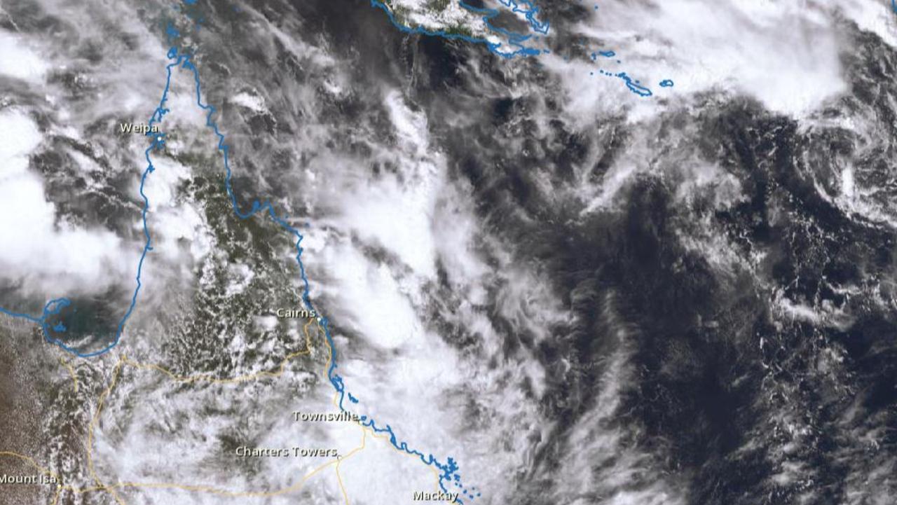
Search for man missing in flood waters as NQ faces another 300mm monster
A search and rescue mission is underway in NQ for a man who drove into flood waters while the region braces for an active monsoon trough expected to dump falls of up to 300mm.
New emergency alert as Far North braces for second coming of biblical flood
A second deluge of up to 300mm is set to pound Far North Queensland, with flood warnings for half a dozen rivers and more than 140mm of rain recorded overnight in some parts.