
Brisbane weather: Cool change, more rain to follow storms
After storms brought a cool change to southeast Queensland, there could be more rain on the way, as the far north reels from ex-cyclone Imogen.
QLD weather news
Don't miss out on the headlines from QLD weather news. Followed categories will be added to My News.
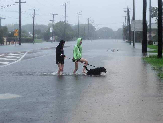
Southeast Queensland is in for a cool change after storms rolled through the region, bringing little destruction but plentiful rain.
Brisbane has an 80 per cent chance of receiving up to 30mm rainfall today, with temperatures expected to reach a top of 26C, well down on yesterday’s 30C-plus readings.
The Sunshine Coast could see up to 45mm of rain today, while the Gold Coast is forecast to receive up to 35mm.
Two supercell storms moved through the southeast last night, with little damage reported but 88mm of rain falling at Amberley in Ipswich in just an hour.
Linville in Somerset had 87mm in an hour and Beaudesert 83mm
There also were falls of 57mm near Laidley and 68mm at Highfields, north of Toowoomba.
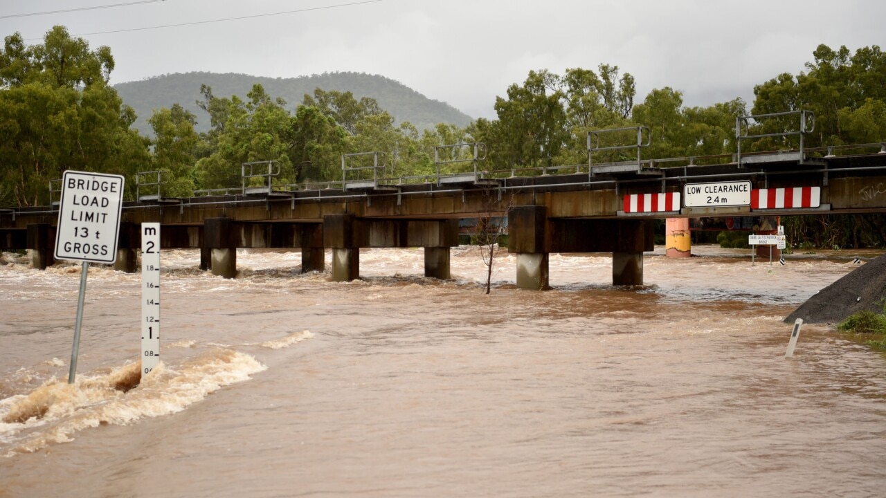
In far north Queensland, Ingham has been inundated by once-in-100-year rainfall for the area, as ex-tropical cyclone Imogen continued to batter the region.
Yesterday morning, weather stations in Ingham recorded falls of 122mm in an hour and 185mm in two hours at the Ingham Pump Station after an intense thunderstorm cell formed over the town just before 6am.
The deluge across the already waterlogged town of Halifax, where 252mm of rain was recorded in 22 hours, threatened to inundate the Hinchinbrook town on the banks of the Herbert River.
Emergency services had endured a long night last night, monitoring river levels that rose above the major flood mark of 5m.
The intense rainfall yesterday severed the Bruce Highway north and south of Ingham, with flooding forcing the closure of several roads and major facilities including the Hinchinbrook Shire Library, Regional Art Gallery and Warrens Hill Waste Management Facility.
The council opened shower and toilet facilities at the Ingham Showgrounds Pavilion on Cooper Street “to assist any motorists or residents that may not be able to travel home safely”.
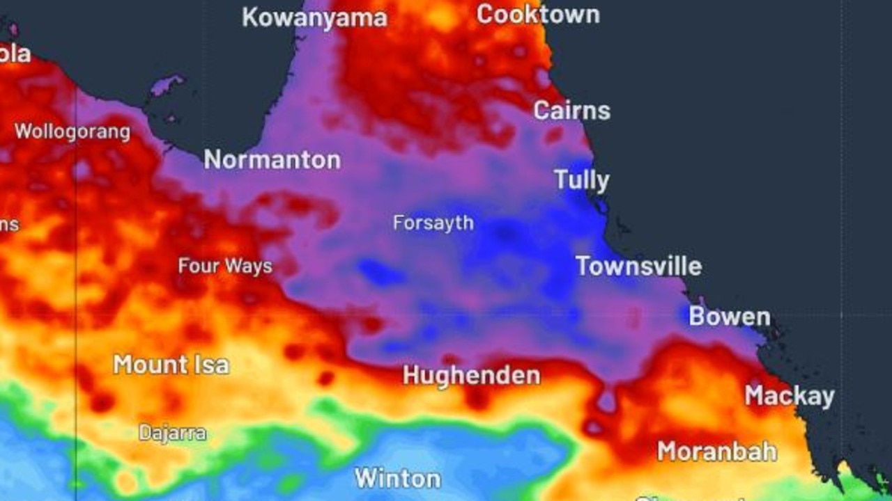
Townsville largely escaped the wrath of the severe weather system, with predicted falls of hundreds of millimetres of rain for the city having never eventuated as ex-tropical cyclone Imogen made its way out to the coast.
BOM meteorologist Pieter Claassen said the worst of the city’s wild weather was done, but areas south of Townsville were still on alert for heavy rainfall last night.
He said there was a very low chance the system could form into another tropical cyclone.
Mr Claassen said the city could expect some afternoon thunderstorms and showers over the next few days.
The near-miss was a welcome stroke of luck for residents on the Northern Beaches, who had been inundated with over 750mm of rain since Christmas.
Townsville could see another 100mm of rainfall today, and up to 60mm on Friday.
Across the southeast, stormy weather is expected to subside over the coming days, but forecasts suggest showers will remain for the rest of the week.
Monsoon unleashed: 500mm possible for flood-ravaged North Qld
Parts of North Queensland are bracing for a 500mm deluge with major flood warnings active as the long-awaited monsoon looks set to finally arrive.
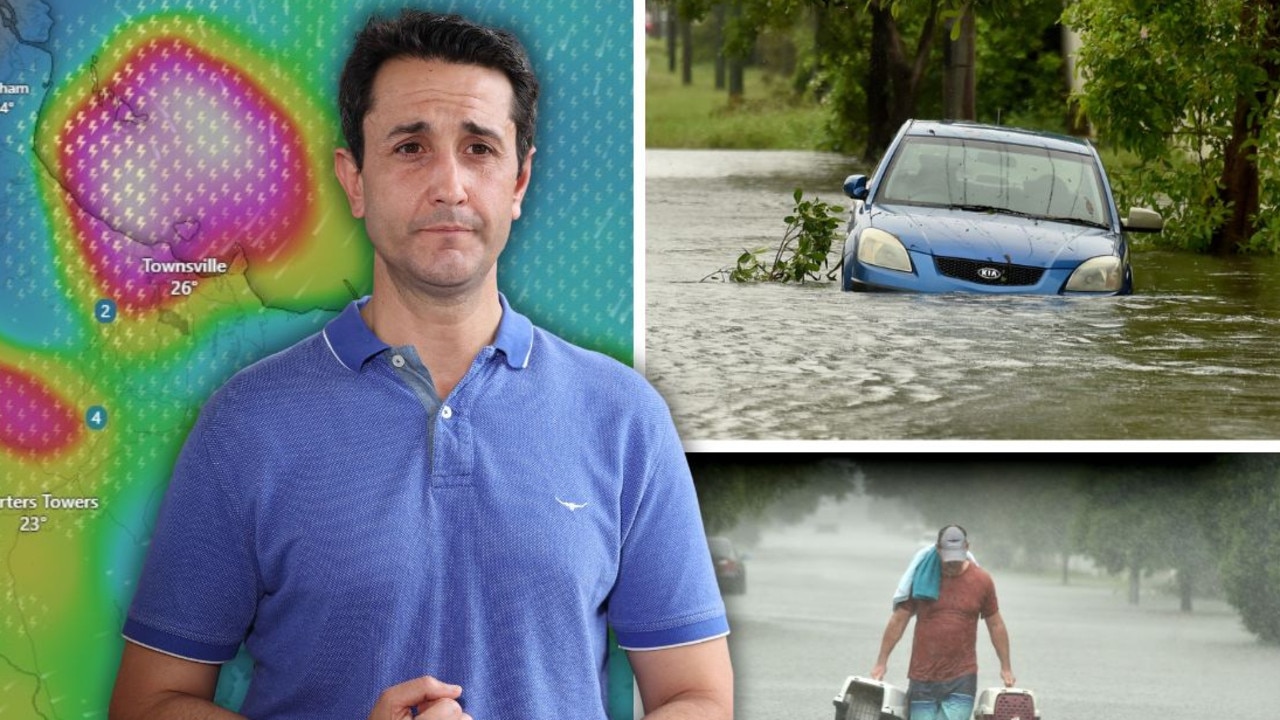
‘Testing NQ’s resilience’: Life-threatening flood warning, 250mm weekend forecast
Extra swiftwater rescue crews, police and boats are being sent north from SEQ ahead of what the Premier has warned will be another severe weekend of devastation for an already-saturated and “hurting” region.