
Storms, cool change barrelling down on southeast Qld
South East Queensland is bracing for further thunderstorms with shark nets being temporarily removed from beaches to prevent dangerous debris. FULL FORECAST

QLD News
Don't miss out on the headlines from QLD News. Followed categories will be added to My News.
Queensland’s Department of Agriculture and Fisheries announced that shark nets were being temporarily removed from South-East beaches due to the wild weather.
A statement from the department on Tuesday afternoon said that removal of Shark control program equipment was protocol when rough weather is predicted.
Fisheries Queensland Shark Control Program Operations Coordinator Sam Fary added that temporarily removing the nets was also a precaution in the interests of public safety.
“High seas can cause some equipment to come adrift, and loose shark control equipment can be a danger to swimmers and boats,” he said.
Mr Fary added that while drumlines will remain in the water, nets from Rainbow Beach, the Sunshine Coast, and Gold Coast beaches will be removed.
“We will keep a close eye on the weather and teams are ready to respond to re-install the gear, or check gear that couldn’t be removed, when the weather conditions allow.”
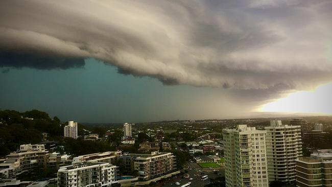
It comes as Southeast Queensland braces for more wild weather as severe storms gather across the region bringing the possibility of heavy rains, large hail and damaging winds.
Much of the state is in the firing line of the possible storms, however, with almost all of the interior affected, while severe thunderstorms are anticipated all along the east coast from the Gold Coast to Cairns and inland to Dalby in the south and Georgetown in the north.
⛈ï¸Thunderstorm forecast: severe thunderstorms are possible for much of the state today, contracting away from the southeast tomorrow. A chance of heavy rainfall and damaging winds, as well as large hail in the southern interior today. Warnings if needed: https://t.co/FBmpsInT9opic.twitter.com/vPxI9VeZDf
— Bureau of Meteorology, Queensland (@BOM_Qld) November 29, 2022
Hail was reported on the Darling Downs, and a downpour of 55mm of rain was recorded in the 30 minutes to 7.15pm at Mapleton in the Sunshine Coast hinterland.
Meteorologist Steven Hadley on Tuesday said a wind change blowing up from New South Wales this morning had arrived earlier than expected, providing some reprieve from the worst of the weather.
“That wind-change will produce a bit of a cap that’ll protect areas south of that line, so the Gold Coast shouldn’t see much activity and most parts of Brisbane are out of the risk zone,” he said.
But the Bureau warned areas north and west of the city remained most likely to see thunderstorms develop.
“We’ve got the possibility of severe storms a lot of places north of Logan,” Mr Hadley said.
While the rest of the week is set to be rainy, Mr Hadley said storm activity would quiet down until the weekend.
“We’re not expecting any storms later in the week until Sunday,” he said.
Cooler temperatures are expected in the coming days, despite humidity remaining high.
“The south-easterly change will bring in a flush of cooler air. It’ll be quite cloudy through the rest of the week, some rain and strong winds,” Mr Hadley said.
Qld weather in 2022: Biggest storms, floods and cyclones
The storm that ripped across the state’s south late yesterday afternoon saw some regions cop a fortnight’s worth of rain in a matter of hours.
Since 9am Monday Goodna received 44mm of rain, Forest Lake 43mm, Eight Mile Plains 40mm, Wishart 36mm, Calamvale 38mm, and Rochedale 43mm.
The impact was worse further north, with Cooran getting 54mm and Imbil 51mm.
Anyone who sees any unsecured shark control equipment including ropes, netting or buoys, should call the Shark Control Program Hotline on 1800 806 891.


On-duty Qld cop charged with serious assault
A Gold Coast cop has been charged with serious assault after allegedly using excessive force while on duty.
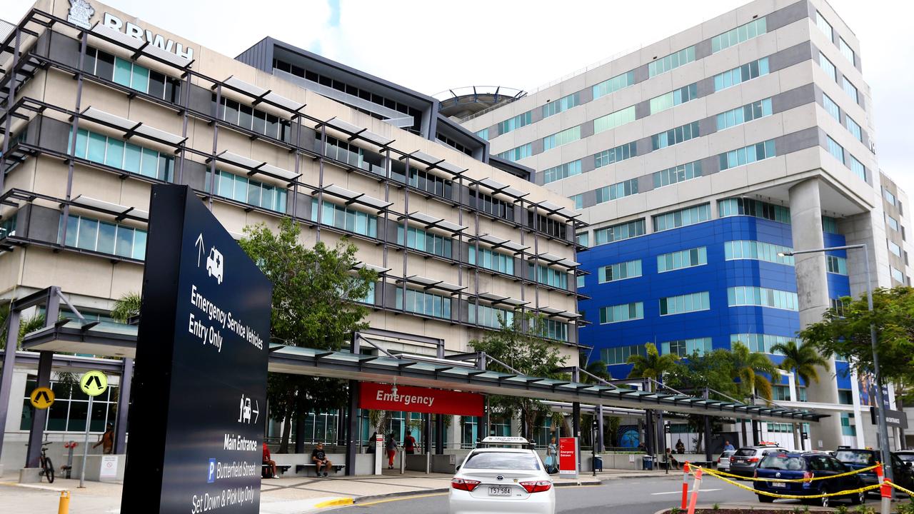
Statewide emergency delays after hospitals suffer tech issues
Patients have experienced delays to wait times at emergency departments across Queensland, after the system containing electronic medical records suffered technical issues.