
Snow forecast for Granite Belt as Queensland set to shiver through winter cold blast
A cold blast will herald the start of winter in Queensland with even the possibility of snow in coming days.
QLD News
Don't miss out on the headlines from QLD News. Followed categories will be added to My News.
It is the first day of winter and the possibility of snow is already on the forecast throughout the Granite Belt.
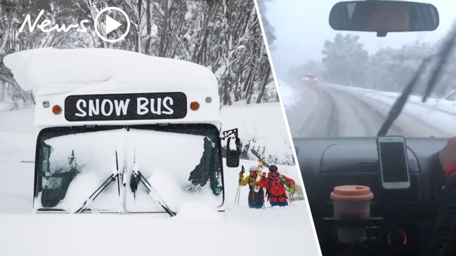
The Bureau of Meteorology has predicted an outside possibility of snow around mid-next week for areas around Stanthorpe.
Meteorologist Matt Marshall said the state welcomes a cool change on the first day of winter.
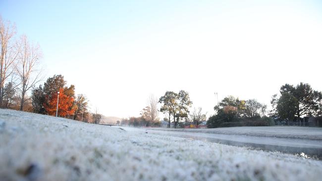
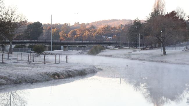
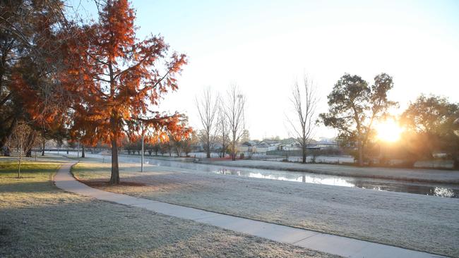
“A cool dry change will follow the trough into the weekend with the risk of frost returning to the southern and south eastern interior,” he said.
“There’s also an outside possibility of snow throughout the Granite Belt around mid-next week.”
Light showers about the east coast with a few thunderstorms can be expected across southern Queensland on Wednesday and Thursday, and will clear off shore by early Friday.
“Showers, areas of rain and isolated thunderstorms are expected across the south of the state over the next few days as a trough and a cloud band move eastwards,” Mr Marshall said.
“The system will enter the southwest of the state late tonight, primarily effecting the southwest tomorrow, and then sweeping across southern districts on Thursday, pushing offshore overnight on Friday.
“Daily rainfall totals of about 5 to 20mm should be fairly common with isolated falls between 30-50mm possible with any thunderstorms that develop within the rain band.”
CURRENT TEMPS & 7-DAY FORECASTS
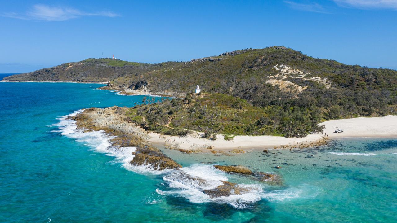
Man bitten by shark at Moreton Island
A young man has been flown to hospital after being bitten by a shark off Moreton Island.

‘He had me at hello’: Kay McGrath farewells beloved fiancé after overseas tragedy
Hundreds of mourners have gathered in Brisbane to farewell the fiancé of Kay McGrath with the popular TV presenter paying tribute to his “loyalty and free spirit”.