
Queensland set for wet New Year’s with falls in excess of 150mm possible
A major rain event starting today and continuing for most of the week is set to deliver a 150mm drenching to parts of Queensland.

QLD News
Don't miss out on the headlines from QLD News. Followed categories will be added to My News.
Queensland is set for a wet welcome to 2021 with widespread rain and totals in excess of 150mm possible.
A combination of a wet trough in the west and a high pressure ridge south in the Tasman Sea will result in a wetter and cooler New Year’s period.
The Bureau of Meteorology is warning of potential large downpours. Rainfall modelling shows parts of northern Queensland could get more than 150mm over the next week.
Large parts of Queensland’s northern interior are on Monday set to receive up to 50mm, including Charters Towers to Winton.
5 days of water vapour satellite imagery show how recent active #monsoon activity across northern Aus has eased ⛈ï¸âž¡ï¸â›…
— Bureau of Meteorology, Australia (@BOM_au) December 25, 2020
However, just because we're now in an inactive monsoon period does not rule out severe weather across the tropics.
Check warnings https://t.co/T2mbW1ICkT pic.twitter.com/hstqBTNqaF
Smaller pockets of heavy rain are expected around the northern coastal areas of Tully, Ingham and Townsville.
BOM Meteorologist Rosa Hoff said the trough will continue to deliver widespread rainfall for Queensland coastal communities into Wednesday, before tapering off.
“We’re expecting that (trough) activity to continue tomorrow and slowly spread down the east coast, with the best chance for showers around south east Queensland to be around Wednesday then lingering a bit on Thursday,” Ms Hoff said.

“In the central and northern interiors we’re forecasting between 20-50mm today, then tomorrow that drops down to about a 10-40mm range predicted.
“Those could bring higher isolated totals with falls of up to 70mm, around that mark.”
The trough will also bring about cooler temperatures, with Brisbane set for a maximum of 31C on Monday before dropping to 28C on Thursday and Saturday.
Similar conditions are expected around the Sunshine Coast and Gold Coast.
🌈 A colourful map of 7 day rainfall totals, and more wet weather to come... Expecting showers and storms in the north to spread into the southwest on Monday then eastward through the week.
— Bureau of Meteorology, Queensland (@BOM_Qld) December 26, 2020
Latest rainfall observations and river conditions: https://t.co/TzCBS6ngKO pic.twitter.com/bo2qWBKsWI
“You’d be seeing around 20mm at the most in the southeast.” Ms Hoff said.
North Queensland will see warmer temperatures, with Cairns to reach 33C on Wednesday, Friday and Saturday, and 32C on Thursday, Tuesday and Sunday.
It could get as hot as 42C in central Queensland later in the week.
NEW YEAR’S WEEK FORECAST
Brisbane
Monday: 10% chance
Tuesday: 30% chance, 0-2mm
Wednesday: 80% chance, 8-20mm
Thursday: 80% chance, 4-15mm
Friday: 60% chance, 1-6mm
Saturday: 60% chance, 1-6mm
Sunshine Coast
Monday: 20% chance
Tuesday: 70% chance, 4-15mm
Wednesday: 90% chance, 15-40mm
Thursday: 90% chance, 10-30mm
Friday: 50% chance, 1-10mm
Saturday: 40% chance, 0-4mm
Gold Coast
Monday: 10% chance
Tuesday: 30% chance, 0-1mm
Wednesday: 80% chance, 6-15mm
Thursday: 70% chance, 4-10mm
Friday: 70% chance, 2-8mm
Saturday: 60% chance, 1-6mm
Cairns
Monday: 90% chance
Tuesday: 80% chance, 8-20mm
Wednesday: 80% chance, 8-25mm
Thursday: 80% chance, 10-25mm
Friday: 80% chance, 10-25mm
Saturday: 80% chance, 6-15mm
Rockhampton
Monday: 30% chance
Tuesday: 80% chance, 8-20mm
Wednesday: 90% chance, 20-45mm
Thursday: 70% chance, 6-20mm
Friday: 50% chance, 0-10mm
Saturday: 50% chance, 0-10mm
Be dourie
Monday: 40% chance
Tuesday: 10% chance
Wednesday: 5% chance
Thursday: 10% chance
Friday: 10% chance
Saturday: 10% chance
Child-on-child sex assaults soar: Minister’s silence as new case revealed
A second father in a matter of days has told of his trauma after his daughter was allegedly sexually assaulted at a childcare centre, but Queensland’s Education Minister is bizarrely staying silent on the issue.
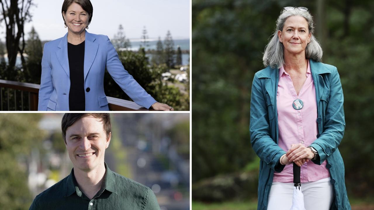
More Teals are coming: Here’s what they will demand
Three more climate-focused independents will be favourites to beat Coalition MPs. If they win, this is what they’ll push Anthony Albanese to do. SPECIAL REPORT