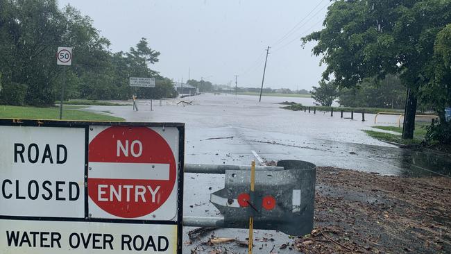
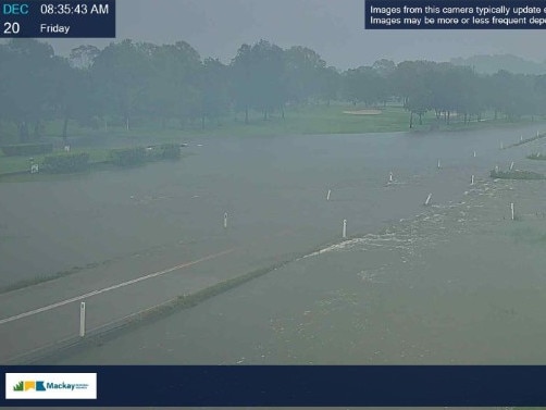
Floods and road closures across Mackay, Whitsundays
Flooding is still affecting roads across the region after a day of torrential rain, cutting the Bruce Highway south of Proserpine and north of Bowen. Find out where to avoid. FREE STORY

Mackay
Don't miss out on the headlines from Mackay. Followed categories will be added to My News.
After days of sporadic rainfall in the Mackay-Whitsundays, the sky has opened over in the last 24 hours with almost 100mm dumping onto the region since yesterday.
The below roads have been designated as flooded or hazardous as of Friday, December 20, 9am.
The Bruce Highway has been blocked by floodwaters near Lethebrook, leaving two motorists stuck in their cars while they wait for aid from emergency services.
A Bureau of Meteorology spokesperson confirmed that parts of the region had received more than 240mm of rainfall with Stafford Crossing, near Bloomsbury seeing 243mm, the highest daily rainfall recorded for December in 18 years.
Proserpine Airport reporter 204mm of rainfall and Hamilton Island Airport reported 144mm.
Antoney’s Crossing recorded the highest rainfall in seven years at 196mm.

MACKAY REGION
See the Emergency Dashboard for up-to-date information.
Pindi Pindi, Bruce Highway - Lane or lanes reduced
Intersection of Bruce Highway and Caping Rd at Bloomsbury - fast flowing water over the road
Bloomsbury, Caping Rd
Calen, Barron Pocket Rd
Calen, Old Bowen Rd
Kuttabul, Narpi Rd
Mount Charlton, Calen Mount Charlton Rd
Victoria Plains, North Eton Rd
Victoria Plains, Victoria Plains Rd
Finch Hatton, Kowari Gorge Rd
Finch Hatton, Gorge Rd
Glenella, Windmill Crossing
North Eton, Marian Eton Road
Mount Pelion, Mirani Mount Ossa Rd
Mirani, Leichhardt Rd
North Eton, Kinchant Dam Rd
West Mackay, Lansdowne Rd
Beaconsfield, Golf Links Rd
Mount Pleasant, Willetts Rd
Walkerston, Pugsley St
Homebush, Barrie Ln
Homebush, Palm Tree Rd
North Eton, State Route 5
Marian, Vellas Rd
Glenella, Hicks Rd
Whitsundays
See the Emergency Dashboard for up-to-date information.
Proserpine, Bruce Highway
Lethebrook, Bruce Highway
Foxdale, Spruce Rd
Kelsey Creek, Kelsey Creek Rd
Kelsey Creek, Tailing Gully Rd
Bowen, Bruce Highway near Bowen Developmental Rd
Bowen, Chilli Ln – reduced speed limit (40km/h)
Bowen, Leichhardt St
Bowen, Inverdon Rd – reduced speed limit (40km/h)
Bowen, Russells Crossing
Bowen, Reeves Rd


