
A YEAR AGO: Cyclone Debbie's wrath on North Queensland
SHE was slow moving, intense and destructive and will be etched in the minds of many Mackay and Whitsunday residents for years to come.
Mackay
Don't miss out on the headlines from Mackay. Followed categories will be added to My News.
SHE was slow moving, intense and destructive and will be etched in the minds of many Mackay and Whitsunday residents for years to come.
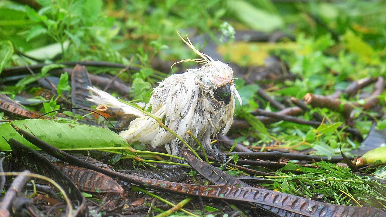
Severe Category 4 Tropical Cyclone Debbie unleashed her fury on the region when she made landfall Tuesday, March 28, 2017, with years of rebuilding in many of the hardest hit areas still under way today.
Here's how it unfolded.
The system, the beginning of Debbie, formed at the eastern end of an active monsoon trough extending from the Indian Ocean across the top of Australia and into the Coral Sea.
The monsoon trough is a region of low air pressure and thunderstorms that forms over northern Australia in the summer months, bringing with it the wet season.
On March 22, a large region of active thunderstorms began to organise into a weather disturbance off the eastern tip of Papua New Guinea.
Over the following two days the thunderstorms organised about a circulation centre as sea level pressures began to drop and moist air converged into the area.
Competing with a cyclone forming off the coast of Western Australia, it was a battle which would form first to be named Tropical Cyclone Caleb. Caleb formed off the coast of WA and was named on March 23.
By late on March 24 a tropical depression, a forerunner of a cyclone, had formed and begun to drift south, making a long S-shaped track.
Saturday, March 25: Tropical Cyclone Debbie is named and will be the first cyclone to impact Queensland for the season.
Its original forecast track puts it crossing the Queensland coast at Ayr, at some point between Townsville and Bowen.
Sunday morning, March 26: The Local Disaster Management Group meets in the Ayr council chambers of the Burdekin Shire Council, 60 members of emergency and community groups gathered for the latest on Cyclone Debbie.
The Bureau of Meteorology's Doug Fraser told the group that by 8am Monday, the bureau would have a "much more clearer picture" on exactly where Cyclone Debbie would cross the coast.

Sunday night, March 26: At 6pm Sunday, the forecast track puts the category 4 system to cross at Alva Beach, at Ayr.
"By 10am (Monday) at the earliest is when we'll see 100kmh winds at Alva Beach, with the rainfall and gusty showers starting by about 6 or 7am and starting to move through," Doug Fraser said.
"We're expecting it to intensify to a Category 3 by midnight (Sunday) and then a Category 4 by midday (Monday)."
The 8pm BoM update says the cyclone was expected to intensify into a category 3 system that evening and is likely to make landfall as a category 4 system just south of Ayr about 6am Tuesday.
But then TC Debbie came under the influence of the subtropical ridge, a zone of stable high pressure that brings much of Australia's fine weather during the summer.
This drove Debbie west-southwest towards the Queensland coast while it gradually intensified further.
Monday morning, March 27: At 5am Monday, thousands are ordered to evacuate as Tropical Cyclone Debbie barrelled towards the north Queensland coast, bringing 280kmh winds, flooding rain and a 4m tidal surge.
Residents in low-lying areas in Bowen, Proserpine and Airlie Beach were ordered to evacuate their homes with the monster storm due to intensify into a "very destructive" Category 4 system hitting a 300km stretch of coast on Tuesday at 6am.
As of 5am Monday morning it remained a Category 2 system, located about 400km east of Townsville and 285 kilometres east northeast of Bowen.
BoM warns residents between Lucinda and Mackay of a dangerous storm tide as the cyclone will cross the coast on Tuesday morning.
The Bureau labels Debbie the most significant cyclone to hit Queensland since Category 5 Cyclone Yasi in 2011.
Police and State Emergency Service workers go door-to-door urging residents in "red zones", which are likely to be go under in a predicted storm tide, to pack belongings and find safety with friends or family on high ground.
Cyclone shelters in Bowen and Proserpine, with a capacity of 800, prepared to open their doors.
Monday night, March 27: "This is going to be a monster of a cyclone," Premier Annastacia Palaszczuk tells a press conference, after she earlier went on national TV instructing 25,000 people in the Mackay region to evacuate their homes.
Because of the relatively high amounts of moisture in the atmosphere, and relatively warm ocean waters, Debbie intensified to category 4 by 10pm, with the strongest wind gusts reaching 225-280kmh.
Tuesday morning, March 28: The Whitsunday Islands are lashed by destructive winds as Cyclone Debbie makes its way across land. Power was already out across many parts of the region.
Authorities warn it will be a long day ahead, with the wide and slow moving system expected to take many hours to pass.
Residents describe the sounds as "freight trains coming through".
Tuesday afternoon, March 28: Tropical Cyclone Debbie crosses the Queensland coast near Airlie Beach in the afternoon.
Reports of wind gusts in excess of 200km an hour and rainfall of more than 1000mm of rain are made in some areas along the central Queensland coast in the time it took for Debbie to cross the region.
As it crosses, Debbie is a strong category 4 cyclone with a central pressure of 943 hectopascals and surface sustained winds of 185kmh.
At 4pm the Bureau of Meteorology downgrades TC Debbie to a category 3.
To put Debbie in context, there has been only one cyclone since 1980 to have made landfall in Queensland with a lower central pressure.
That was Yasi in 2011. Debbie is the fifth cyclone of the season for Australia as a whole and the most intense of the season so far.
Anomalously high moisture, warm ocean temperatures, and low environmental pressures seem to have created the conditions that allowed TC Debbie to form and grow in intensity.
Tuesday night, March 28: The state's police commissioner issues grave warnings to residents late in the day: "We are going to get lots of reports of damage and sadly I think we will also receive more reports of injuries, if not deaths.
We need to be prepared for that," Commissioner Ian Stewart said. Concern turns to the inland communities around Collinsville.
About 11pm TC Debbie is downgraded to a Category 2 system centred to the south-west of Collinsville.
Wednesday, March 29: The extent of the damage from the cyclone starts to be realised in the morning, with homes and structures damaged, trees down, erosion, cane flattened and rivers rising. At home fears turn to Mackay's Pioneer River, receiving more than a metre of rain in Debbie's deluge meaning a major flood warning is issued at its peak at midnight.
About 63,000 residents across the Mackay and Whitsundays regions are left without power.
Major flooding was also expected for the Connors, Isaac and Burdekin rivers.
Thursday and Friday, March 30 and 31: Flooding rain from the now ex-Cyclone Debbie continues to inundate central and south-east Queensland.
Almost 100 people - many stranded on the top of houses, cars and verandas - have been rescued by emergency workers after being trapped by floodwaters in cyclone-battered central Queensland.
The deluge that hit the northern coastline with category four Cyclone Debbie is now wreaking havoc inland and also in the south of the "sunshine state".
Overnight and morning flooding had been at its worst in and around Mackay where the Pioneer River broke its banks, overflowing local dams to exacerbate floodwaters, especially in the Eton and Homebush areas.
Queensland Fire and Emergency Services Commissioner Katarina Carroll says 38 people were rescued in the Mackay region overnight while about 50 more needed evacuating up until 9am Thursday.
By 10am only four were left waiting for a helicopter at Hannans Rd, Eton.
The prime minister and opposition leader arrive in cyclone-hit communities of Mackay and the Whitsundays to inspect the damage and relief efforts. About 1200 defence force personnel were involved in the recovery efforts.
Schools across much of Queensland are being shut down as Premier Annastacia Palaszczuk and emergency services instruct anyone in the path of deadly storms to stay inside.
The storm is expected to hit south-east Queensland through Thursday night and into Friday morning before it heads east out to sea.
Rockhampton's Fitzroy River reached a peak of just under 9m on Thursday, while ex-tropical cyclone Debbie wreaked havoc across New Zealand, slowly fizzling out.
Originally published as A YEAR AGO: Cyclone Debbie's wrath on North Queensland

Man injured in ‘high impact’ crash into tree
A man is being assessed by paramedics after a high impact crash on the Bruce Highway.

‘I’ll cut your throat: Man threatens victim with large cane knife
A man was seen walking down a Nth Qld street talking to himself before he entered a man’s yard and threatened to cut his throat in a terrifying attack.